Chest opened
+${chestReward.xp} XP
Explorer
NOUVEAU ×${chestReward.collectible.quantity}
tapez pour fermer
Chest locked

Open chests in the app

Around Us is built for your phone — chests unlock when you walk, explore and capture nearby places.

Enable Location

We need your location to show you interesting places around you

Discover nearby places

Find interesting locations and hidden gems around you

Precise directions

Get accurate directions and distances to places

Your location is never shared with other users. It's only used when you tap the location button.

Cheraw

Log in to your account

Start exploring — it's free

Trusted by 72,886 travelers worldwide

Continue with Google
Continue with Apple
or

We will send you a code to connect

By continuing, you accept our Terms and Conditions and our Privacy Policy

Check your inbox

We've sent a pincode in your inbox. Please enter the code below.

Discussion Reviews 1 Photos
28.8k Popularity

Cheraw, Historic riverside town in Chesterfield County, South Carolina.

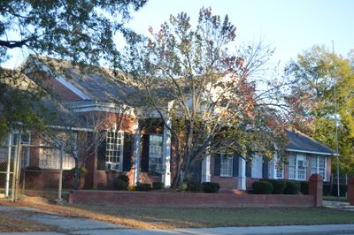
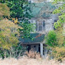
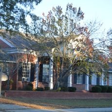
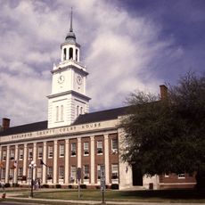
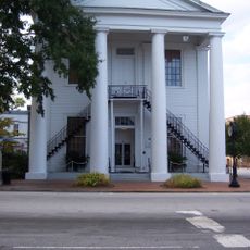
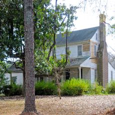
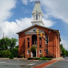
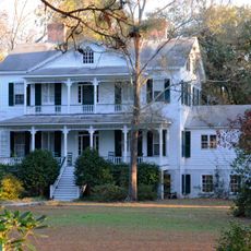
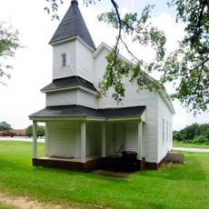
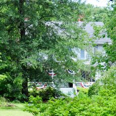
Cheraw is a town situated on the banks of the Pee Dee River in Chesterfield County, South Carolina. The community features residential neighborhoods, commercial streets, and public spaces spread throughout the area.

European settlers arrived in the area during the 1730s, where Cheraw and Pee Dee Native American tribes had previously lived. The town later grew into an important trading center along river routes.

The South Carolina Jazz Festival happens here each year, celebrating the legacy of jazz musician Dizzy Gillespie, who grew up in this town. You can experience live music performances that connect visitors to the local artistic roots.

The town center sits near the river and is easy to explore on foot, with sidewalks and places to sit. The river itself offers opportunities for activities like fishing or simply watching the water and landscape.

During the American Civil War, the town served as a storage location for Confederate military supplies. This role made it a place of strategic importance when General Sherman's forces approached in 1865.

The community of curious travelers

AroundUs brings together thousands of curated places, local tips, and hidden gems, enriched daily by 60,000 contributors worldwide.

Start exploring
Elevation above the sea
51 m
GPS coordinates
34.69667,-79.89500
Latest update
December 20, 2025 12:08
Around this place
Naval Health Clinic Charleston
United States of America

Naval Health Clinic Charleston

19.8 km
United States of America

Cheraw State Park

5.5 km
St. David's Episcopal Church and Cemetery
United States of America

St. David's Episcopal Church and Cemetery

1.4 km
United States of America

H. Cooper Black Jr. Memorial Field Trial and Recreation Area

14.7 km
Pegues Place
United States of America

Pegues Place

11.7 km
Robert Smalls School
United States of America

Robert Smalls School

1.2 km
Bennettsville Historic District
United States of America

Bennettsville Historic District

21.5 km
United States of America

Japonica Hall

21.5 km
Cheraw Historic District
United States of America

Cheraw Historic District

689 m
Robertson-Easterling-McLaurin House
United States of America

Robertson-Easterling-McLaurin House

12.9 km
United States of America

Welsh Neck-Long Bluff-Society Hill Historic District

19.9 km
East Main Street Historic District (Chesterfield, South Carolina)
United States of America

East Main Street Historic District (Chesterfield, South Carolina)

17.7 km
Appin
United States of America

Appin

19.2 km
West Main Street Historic District (Chesterfield, South Carolina)
United States of America

West Main Street Historic District (Chesterfield, South Carolina)

18.6 km
Dr. Thomas E. Lucas House
United States of America

Dr. Thomas E. Lucas House

18.8 km
United States of America

Douglass Millpond

24.9 km
United States of America

Murchison School

21.5 km
United States of America

Gillespies Pond

10.9 km
United States of America

Burnt Factory Pond

21.2 km
United States of America

Pate Pond

20.3 km
United States of America

Camp Coker Pond

16.3 km
United States of America

Gardners Bluff

14.3 km
United States of America

Camp Pee Dee Pond Number One

13.9 km
United States of America

Haire Pond

12.1 km
United States of America

Teal Millpond

11.2 km
United States of America

Everetts Lake

11.6 km
United States of America

Marlboro Country Club

20.6 km
United States of America

Cheraw State Park Golf Course

6.3 km
Show the full map
Reviews
Share your experience

No review yet

Discussions
Start a discussion...

No discussion yet

« Cheraw - Historic riverside town in Chesterfield County, South Carolina » is provided by Around Us (aroundus.com). Images and texts are derived from Wikimedia project under a Creative Commons license. You are allowed to copy, distribute, and modify copies of this page, under the conditions set by the license, as long as this note is clearly visible.

Discover hidden gems everywhere you go!

From secret cafés to breathtaking viewpoints, skip the crowded tourist spots and find places that match your style. Our app makes it easy with voice search, smart filtering, route optimization, and insider tips from travelers worldwide. Download now for the complete mobile experience.

Around Us App Screenshot

A unique approach to discovering new places

Le Figaro

All the places worth exploring

France Info

A tailor-made excursion in just a few clicks

20 Minutes

Around Us
Travel Guide & Maps
Download

Send to your phone

QR Code
1

Open the camera app on your mobile.

2

Point at the QR code with your camera. A notification will appear.

3

Tap the notification to open the link.