Enable Location

We need your location to show you interesting places around you

Discover nearby places

Find interesting locations and hidden gems around you

Precise directions

Get accurate directions and distances to places

Your location is never shared with other users. It's only used when you tap the location button.

Moorestown Township

Log in to your account

Start exploring — it's free

Trusted by 63,096 travelers worldwide

Continue with Google
Continue with Apple
or

We will send you a code to connect

By continuing, you accept our Terms and Conditions and our Privacy Policy

Check your inbox

We've sent a pincode in your inbox. Please enter the code below.

Discussion Reviews 4 Photos
46.4k Popularity

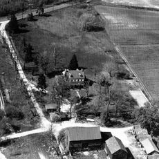
Moorestown Township, Administrative division in Burlington County, New Jersey, United States.

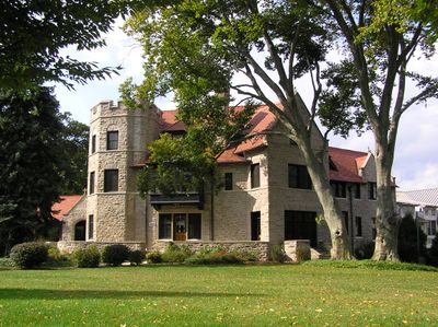
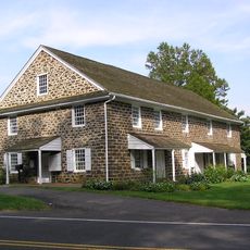
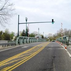
Moorestown Township is an administrative division in Burlington County that covers approximately 15 square kilometers and provides core municipal services. The township operates departments focused on planning, zoning, and community development from a central administrative office.

The administrative center relocated in 2014 from its original location to a new building, consolidating municipal services in one place. This move modernized how the township delivers services to residents.

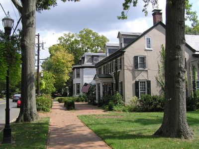
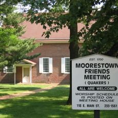
The community actively participates in municipal decisions through regular town meetings and local committees. Residents shape how the township develops and operates by engaging with local governance.

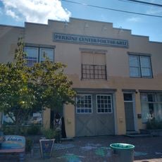
The township administrative office is located at a central location and offers services for tax payments and municipal matters. It is helpful to check in advance what services are available and what to expect during your visit.

A pollinator garden was established with thousands of native plants to support local insects and wildlife. This green space reflects the township's commitment to environmental stewardship.

The community of curious travelers

AroundUs brings together thousands of curated places, local tips, and hidden gems, enriched daily by 60,000 contributors worldwide.

Start exploring
Inception
1682
Shares border with
Willingboro Township, Mount Laurel, Maple Shade Township, Cinnaminson Township, Delran Township
GPS coordinates
39.97710,-74.94500
Latest update
December 14, 2025 19:52
Around this place
The Funplex
United States of America

The Funplex

4.7 km
Paulsdale
United States of America

Paulsdale

2.6 km
Rancocas State Park
United States of America

Rancocas State Park

7.8 km
Philadelphia Watch Case Company Building
United States of America

Philadelphia Watch Case Company Building

7.1 km
Breidenhart
United States of America

Breidenhart

1.2 km
Our Lady of Good Counsel Church
United States of America

Our Lady of Good Counsel Church

1.5 km
Evesham Friends Meeting House
United States of America

Evesham Friends Meeting House

6.5 km
Perkins Center for the Arts
United States of America

Perkins Center for the Arts

2.2 km
Smith Mansion
United States of America

Smith Mansion

1.6 km
Burrough-Dover House
United States of America

Burrough-Dover House

6.3 km
Riverside–Delanco Bridge
United States of America

Riverside–Delanco Bridge

7.6 km
Moorestown Friends School and Meetinghouse
United States of America

Moorestown Friends School and Meetinghouse

1.5 km
Samuel Coles House
United States of America

Samuel Coles House

7.6 km
Gatehouse at Colestown Cemetery
United States of America

Gatehouse at Colestown Cemetery

6.2 km
United States of America

Palace Theatre

5.6 km
United States of America

Criterion Theatre

1.5 km
United States of America

Eric Twin Cherry Hill

7.5 km
Riverton Historic District
United States of America

Riverton Historic District

6.9 km
Moorestown Historic District
United States of America

Moorestown Historic District

1.4 km
United States of America

Rancocas Historic Village

7.6 km
United States of America

Moorestown Field Club

85 m
United States of America

Ramblewood Country Club

5.5 km
United States of America

Riverton Country Club

5.6 km
United States of America

Laurel Creek Golf Course

4.6 km
United States of America

Pennsauken Country Club

7 km
United States of America

Rancocas Golf Club

6 km
United States of America

Sunday Morning

8.1 km
United States of America

Diligence

1.5 km
Show the full map
Reviews
Share your experience

No review yet

Discussions
Start a discussion...

No discussion yet

« Moorestown Township - Administrative division in Burlington County, New Jersey, United States » is provided by Around Us (aroundus.com). Images and texts are derived from Wikimedia project under a Creative Commons license. You are allowed to copy, distribute, and modify copies of this page, under the conditions set by the license, as long as this note is clearly visible.

Discover hidden gems everywhere you go!

From secret cafés to breathtaking viewpoints, skip the crowded tourist spots and find places that match your style. Our app makes it easy with voice search, smart filtering, route optimization, and insider tips from travelers worldwide. Download now for the complete mobile experience.

Around Us App Screenshot

A unique approach to discovering new places

Le Figaro

All the places worth exploring

France Info

A tailor-made excursion in just a few clicks

20 Minutes

Around Us
Travel Guide & Maps
Download

Send to your phone

QR Code
1

Open the camera app on your mobile.

2

Point at the QR code with your camera. A notification will appear.

3

Tap the notification to open the link.