Enable Location

We need your location to show you interesting places around you

Discover nearby places

Find interesting locations and hidden gems around you

Precise directions

Get accurate directions and distances to places

Your location is never shared with other users. It's only used when you tap the location button.

Peapack-Gladstone

Log in to your account

Start exploring — it's free

Trusted by 62,551 travelers worldwide

Continue with Google
Continue with Apple
or

We will send you a code to connect

By continuing, you accept our Terms and Conditions and our Privacy Policy

Check your inbox

We've sent a pincode in your inbox. Please enter the code below.

Peapack-Gladstone, Administrative division in Somerset County, New Jersey, United States.

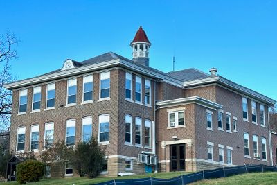
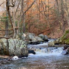
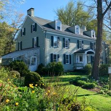
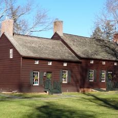
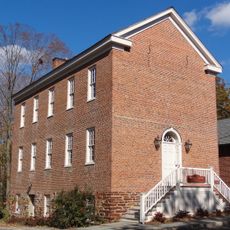
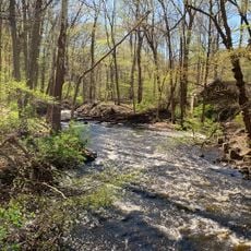
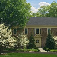
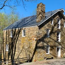
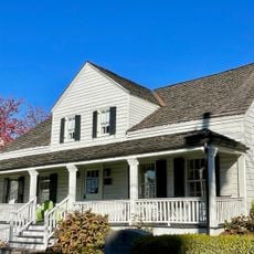
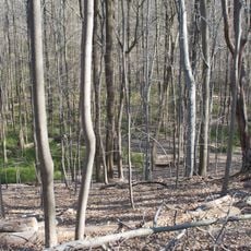
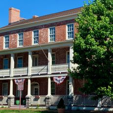
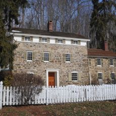
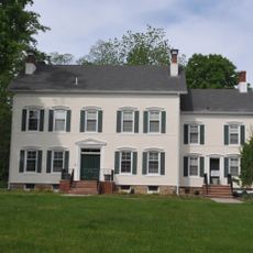
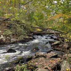
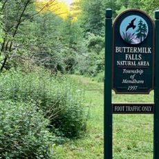
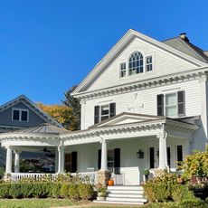
Peapack-Gladstone is a borough in Somerset County, New Jersey, stretching across rolling hills and valleys. The landscape features historic homes, local shops, and trout streams that wind through residential neighborhoods.

The borough was formed in 1912 when it separated from Bedminster Township through a New Jersey Legislature act. This separation established it as an independent administrative community in the region.

The headquarters of the United States Equestrian Team in Gladstone shapes local life and draws riders and sports enthusiasts to the area. The community has developed around this facility, making horse sports a significant part of daily identity.

Residents can reach New York City through NJ Transit rail service, with connections to both Hoboken Terminal and New York Penn Station. This connection makes the area accessible for those commuting to the city.

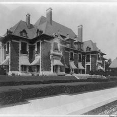
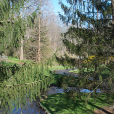
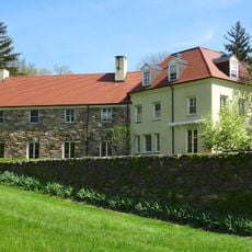
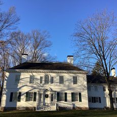
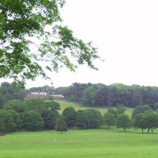
The 404-acre Natirar estate, formerly owned by Morocco's king, is now a public park managed by Somerset County. The grounds preserve original architecture and landscapes that reflect the property's rich past.

The community of curious travelers

AroundUs brings together thousands of curated places, local tips, and hidden gems, enriched daily by 60,000 contributors worldwide.

Start exploring
GPS coordinates
40.71778,-74.65885
Latest update
December 7, 2025 19:28
Around this place
Hacklebarney State Park
United States of America

Hacklebarney State Park

7 km
Blairsden
United States of America

Blairsden

1.9 km
USGA Museum
United States of America

USGA Museum

7 km
United States of America

Far Hills Races

3.9 km
Willowwood Arboretum
United States of America

Willowwood Arboretum

3.5 km
Jacobus Vanderveer House
United States of America

Jacobus Vanderveer House

5.7 km
Leonard J. Buck Garden
United States of America

Leonard J. Buck Garden

5.9 km
New Jersey Brigade Encampment Site
United States of America

New Jersey Brigade Encampment Site

9 km
Brick Academy
United States of America

Brick Academy

9.3 km
Black River County Park
United States of America

Black River County Park

7.1 km
Cross Estate Gardens
United States of America

Cross Estate Gardens

9 km
Bamboo Brook Outdoor Education Center
United States of America

Bamboo Brook Outdoor Education Center

4.4 km
Nathan Cooper Gristmill
United States of America

Nathan Cooper Gristmill

8.6 km
John Parker Tavern
United States of America

John Parker Tavern

7.6 km
Moggy Hollow Natural Area
United States of America

Moggy Hollow Natural Area

6.2 km
Morristown National Historical Park
United States of America

Morristown National Historical Park

9.1 km
Pluckemin Village Historic District
United States of America

Pluckemin Village Historic District

8.1 km
Chester House Inn
United States of America

Chester House Inn

8.2 km
St. Bernard's Church and Parish House
United States of America

St. Bernard's Church and Parish House

7.3 km
Lamington Historic District
United States of America

Lamington Historic District

8.1 km
Elizabeth D. Kay Environmental Center
United States of America

Elizabeth D. Kay Environmental Center

6.8 km
Reynolds-Scherman House
United States of America

Reynolds-Scherman House

8.9 km
General Nathan Cooper Mansion
United States of America

General Nathan Cooper Mansion

6.9 km
Elizabeth D. Kay Environmental Center
United States of America

Elizabeth D. Kay Environmental Center

5.6 km
Natirar
United States of America

Natirar

2.3 km
India Brook Park
United States of America

India Brook Park

8 km
Olcott Avenue Historic District
United States of America

Olcott Avenue Historic District

7.7 km
Pottersville Reformed Church
United States of America

Pottersville Reformed Church

5.1 km
Show the full map
« Peapack-Gladstone - Administrative division in Somerset County, New Jersey, United States » is provided by Around Us (aroundus.com). Images and texts are derived from Wikimedia project under a Creative Commons license. You are allowed to copy, distribute, and modify copies of this page, under the conditions set by the license, as long as this note is clearly visible.

Discover hidden gems everywhere you go!

From secret cafés to breathtaking viewpoints, skip the crowded tourist spots and find places that match your style. Our app makes it easy with voice search, smart filtering, route optimization, and insider tips from travelers worldwide. Download now for the complete mobile experience.

Around Us App Screenshot

A unique approach to discovering new places

Le Figaro

All the places worth exploring

France Info

A tailor-made excursion in just a few clicks

20 Minutes

Around Us
Travel Guide & Maps
Download

Send to your phone

QR Code
1

Open the camera app on your mobile.

2

Point at the QR code with your camera. A notification will appear.

3

Tap the notification to open the link.