Chest opened
+${chestReward.xp} XP
Explorer
NOUVEAU ×${chestReward.collectible.quantity}
tapez pour fermer
Chest locked

Open chests in the app

Around Us is built for your phone — chests unlock when you walk, explore and capture nearby places.

Enable Location

We need your location to show you interesting places around you

Discover nearby places

Find interesting locations and hidden gems around you

Precise directions

Get accurate directions and distances to places

Your location is never shared with other users. It's only used when you tap the location button.

Log in to your account

Start exploring — it's free

Trusted by 72,886 travelers worldwide

Continue with Google
Continue with Apple
or

We will send you a code to connect

By continuing, you accept our Terms and Conditions and our Privacy Policy

Check your inbox

We've sent a pincode in your inbox. Please enter the code below.

Platte Purchase
Discussion Reviews Photo
14.9k Popularity

Platte Purchase, Land acquisition region in northwestern Missouri, US

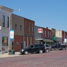
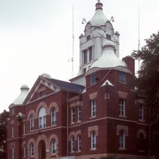
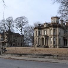
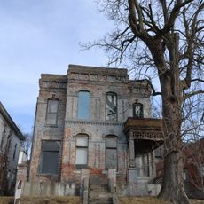
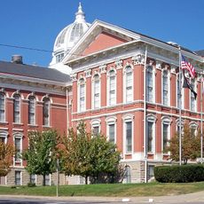
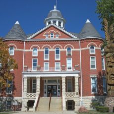
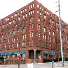
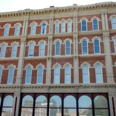
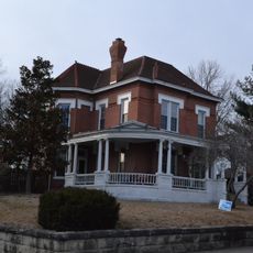
The Platte Purchase is a land region in northwestern Missouri stretching along the east bank of the Missouri River and encompassing six modern counties today. The area connects several urban centers, including St. Joseph, Maryville, and Kansas City's northwestern suburbs.

The territory was acquired in 1836 through treaties between the US government and Native American tribes, signed at Fort Leavenworth under William Clark's supervision. These agreements significantly expanded Missouri's western border north of the Kansas River.

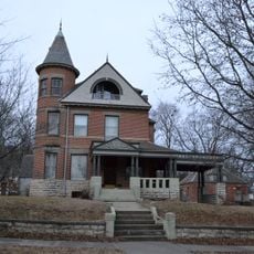
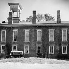
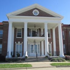
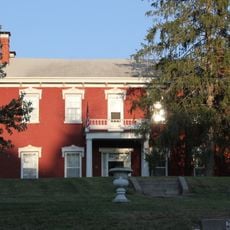
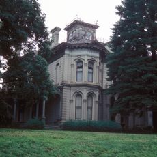
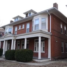
Settlers from the Upper South states established agricultural communities throughout this region. Hemp and tobacco farming shaped the economic foundation of local life for generations.

Modern highways link the main cities within the area, allowing exploration along various routes. Visitors should plan travel time between major centers, as the region spreads across several counties.

The acquisition added land to Missouri's western border that equaled the combined size of Delaware and Rhode Island. This territorial addition was a significant step in the state's western expansion during early American growth.

The community of curious travelers

AroundUs brings together thousands of curated places, local tips, and hidden gems, enriched daily by 60,000 contributors worldwide.

Start exploring
Location
GPS coordinates
40.00000,-95.00000
Latest update
March 5, 2026 18:16
Around this place
Loess Bluffs National Wildlife Refuge
United States of America

Loess Bluffs National Wildlife Refuge

20.7 km
United States of America

Krug Park

25.7 km
Robidoux Row
United States of America

Robidoux Row

27.9 km
J. F. Roberts Octagonal Barn
United States of America

J. F. Roberts Octagonal Barn

22.8 km
Walnut Park Farm Historic District
United States of America

Walnut Park Farm Historic District

24.6 km
Site No. RH00-062
United States of America

Site No. RH00-062

28.3 km
Doniphan County Courthouse Square Historic District
United States of America

Doniphan County Courthouse Square Historic District

25 km
Andrew County Courthouse
United States of America

Andrew County Courthouse

16 km
Hall Street Historic District
United States of America

Hall Street Historic District

28.4 km
Cathedral Hill Historic District
United States of America

Cathedral Hill Historic District

28.5 km
Buchanan County Courthouse
United States of America

Buchanan County Courthouse

28.6 km
Krug Park Place Historic District
United States of America

Krug Park Place Historic District

26.6 km
Doniphan County Courthouse
United States of America

Doniphan County Courthouse

25 km
Missouri Valley Trust Company Historic District
United States of America

Missouri Valley Trust Company Historic District

28.7 km
Irvin Hall
United States of America

Irvin Hall

27.8 km
Buchanan County Infirmary
United States of America

Buchanan County Infirmary

25.8 km
White Cloud Historic District
United States of America

White Cloud Historic District

25.5 km
Wholesale Row Historic District
United States of America

Wholesale Row Historic District

28.6 km
Isaac Miller House
United States of America

Isaac Miller House

27.5 km
Robidoux Hill Historic District
United States of America

Robidoux Hill Historic District

28.3 km
City Hall
United States of America

City Hall

16.3 km
Virginia Flats
United States of America

Virginia Flats

28.6 km
John D. Richardson Dry Goods Company
United States of America

John D. Richardson Dry Goods Company

28.5 km
Lawler Motor Company Building
United States of America

Lawler Motor Company Building

28.6 km
Maple Grove
United States of America

Maple Grove

27.3 km
John Sublett Jr. and Caroline Ashton Logan House
United States of America

John Sublett Jr. and Caroline Ashton Logan House

27.7 km
Central-North Commercial Historic District
United States of America

Central-North Commercial Historic District

28.6 km
Dewey Avenue-West Rosine Historic District
United States of America

Dewey Avenue-West Rosine Historic District

27.4 km
Show the full map
Reviews
Share your experience

No review yet

Discussions
Start a discussion...

No discussion yet

« Platte Purchase - Land acquisition region in northwestern Missouri, US » is provided by Around Us (aroundus.com). Images and texts are derived from Wikimedia project under a Creative Commons license. You are allowed to copy, distribute, and modify copies of this page, under the conditions set by the license, as long as this note is clearly visible.

Discover hidden gems everywhere you go!

From secret cafés to breathtaking viewpoints, skip the crowded tourist spots and find places that match your style. Our app makes it easy with voice search, smart filtering, route optimization, and insider tips from travelers worldwide. Download now for the complete mobile experience.

Around Us App Screenshot

A unique approach to discovering new places

Le Figaro

All the places worth exploring

France Info

A tailor-made excursion in just a few clicks

20 Minutes

Around Us
Travel Guide & Maps
Download

Send to your phone

QR Code
1

Open the camera app on your mobile.

2

Point at the QR code with your camera. A notification will appear.

3

Tap the notification to open the link.