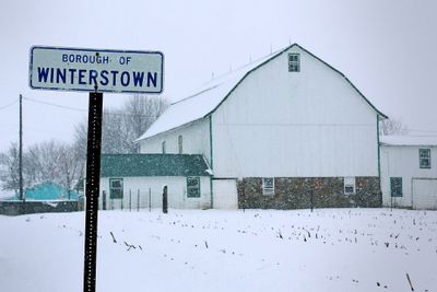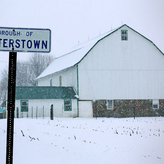
Winterstown, borough of Pennsylvania
Location: York County
Inception: 1830
GPS coordinates: 39.84030,-76.62420
Latest update: May 29, 2025 14:26
Cookes House
15.9 km
York Historic District
14.5 km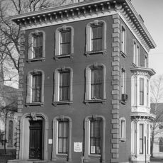
Billmeyer House
16.2 km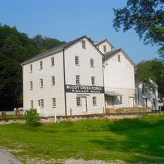
Muddy Creek Forks Historic District
13.2 km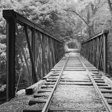
Valley Road Bridge, Stewartstown Railroad
9.5 km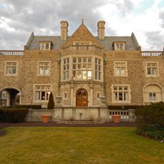
Springdale Historic District
14.5 km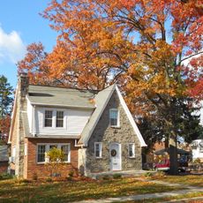
East York Historic District
15.9 km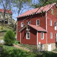
Wallace-Cross Mill
8.5 km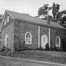
Guinston United Presbyterian Church
11.3 km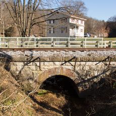
South Road Bridge, Northern Central Railway
11.9 km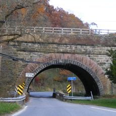
Bridge 634, Northern Central Railway
11.1 km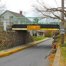
Bridge 5+92, Northern Central Railway
12.7 km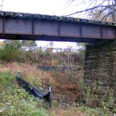
Stone Arch Road Bridge, Stewartstown Railroad
11.4 km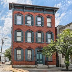
Smyser-Bair House
16.2 km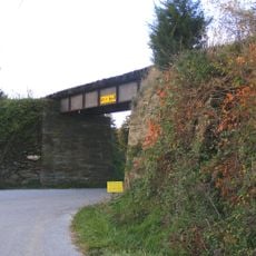
Ridge Road Bridge, Stewartstown Railroad
9 km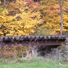
Deer Creek Bridge, Stewartstown Railroad
9.4 km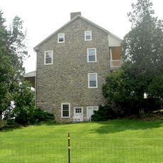
Burgholtshouse
16.8 km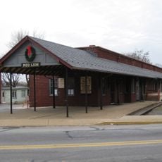
Red Lion Borough Historic District
6.6 km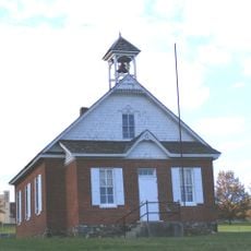
Fissel's School
12.3 km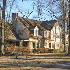
Chestnut Hill
11 km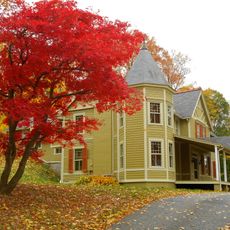
The Nook
14.5 km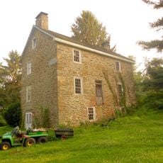
Payne's Folly
16.5 km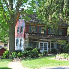
Samuel Stoner Homestead
15.1 km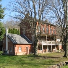
Railroad Borough Historic District
10.9 km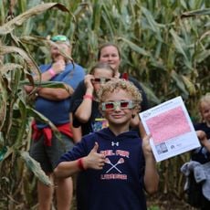
Maze Quest Fun Park
15.5 km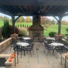
Heritage Hills Golf Course
13.2 km
Bridgewater
11.3 km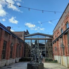
Agricultural & Industrial Museum
16 kmReviews
Visited this place? Tap the stars to rate it and share your experience / photos with the community! Try now! You can cancel it anytime.
Discover hidden gems everywhere you go!
From secret cafés to breathtaking viewpoints, skip the crowded tourist spots and find places that match your style. Our app makes it easy with voice search, smart filtering, route optimization, and insider tips from travelers worldwide. Download now for the complete mobile experience.

A unique approach to discovering new places❞
— Le Figaro
All the places worth exploring❞
— France Info
A tailor-made excursion in just a few clicks❞
— 20 Minutes
