Muddy Creek Forks Historic District, Historic district in York County, Pennsylvania, United States.
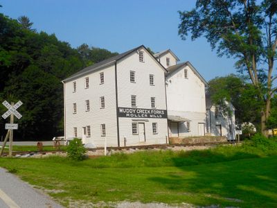
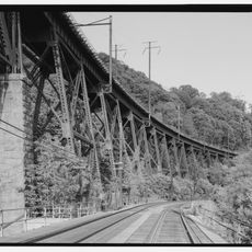
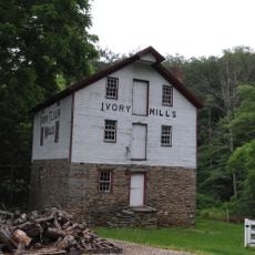
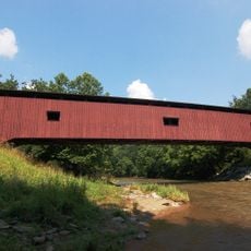
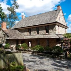
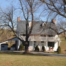
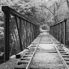
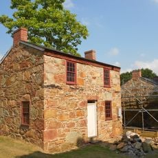
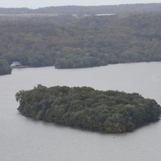
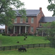
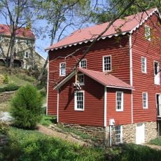
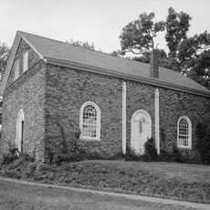
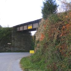
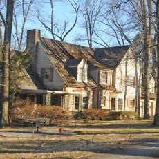
The Muddy Creek Forks Historic District spans across three townships in York County and contains a collection of buildings including a grain elevator, mill, warehouse, and several residences dating from the 1800s onward. The structures sit on open farmland connected by country roads, with the former railroad right-of-way still visible through the landscape.
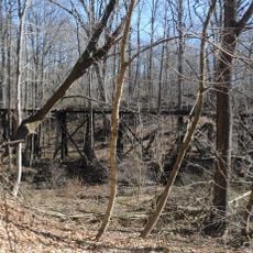
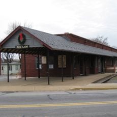
The buildings were constructed between 1800 and 1935 as the community developed around farming and milling operations. The Maryland and Pennsylvania Railroad became the defining force in the area's growth, turning it into a commercial hub that served surrounding farms and settlements.
The General Store functioned as a social hub where residents gathered to exchange news and purchase goods from the area. The railroad connection transformed how people conducted business and brought the outside world closer to this rural settlement.
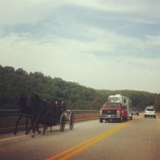
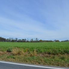
The site spreads across open farmland, so comfortable walking shoes are useful for exploring the various buildings and structures. Check locally before visiting to confirm which buildings are accessible and whether any guided tours are available.
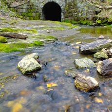
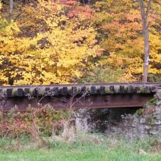
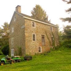
An old mill building with its functioning water race demonstrates how milling and farming were intertwined operations in this place. The surviving bridges and weigh station reveal the practical ways water power connected directly to the community's economic activities.
The community of curious travelers
AroundUs brings together thousands of curated places, local tips, and hidden gems, enriched daily by 60,000 contributors worldwide.