Enable Location

We need your location to show you interesting places around you

Discover nearby places

Find interesting locations and hidden gems around you

Precise directions

Get accurate directions and distances to places

Your location is never shared with other users. It's only used when you tap the location button.

York County

Log in to your account

Start exploring — it's free

Trusted by 62,379 travelers worldwide

Continue with Google
Continue with Apple
or

We will send you a code to connect

By continuing, you accept our Terms and Conditions and our Privacy Policy

Check your inbox

We've sent a pincode in your inbox. Please enter the code below.

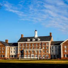
York County, County in south central Pennsylvania, United States

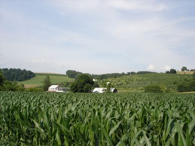
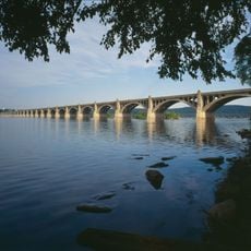
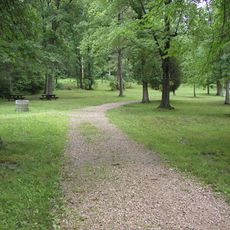
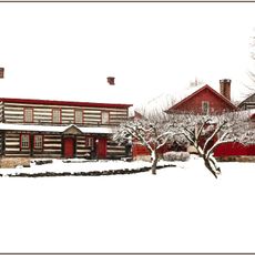
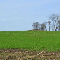
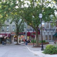
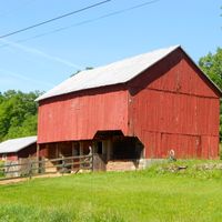
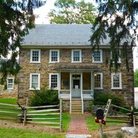
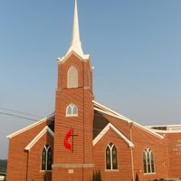
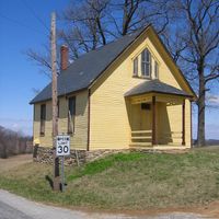
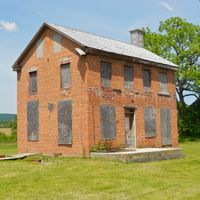
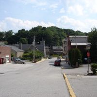
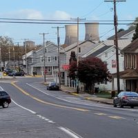
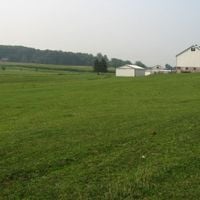
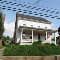
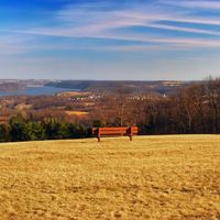
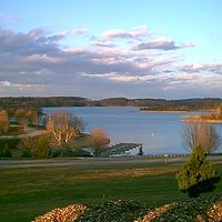
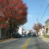
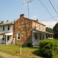
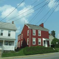
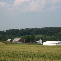
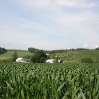
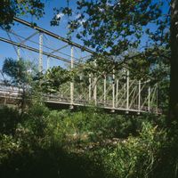
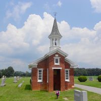
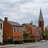
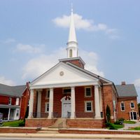
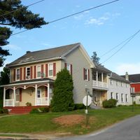
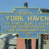
York County is an area in the southern part of Pennsylvania, where the Susquehanna River forms the eastern boundary. The terrain alternates between hills and flat valleys, with fields alongside smaller towns and a few larger cities.

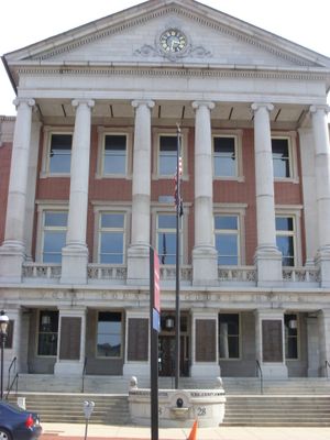
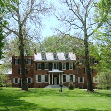
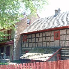
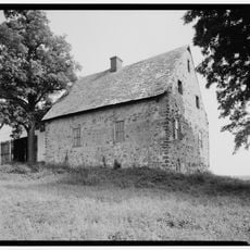
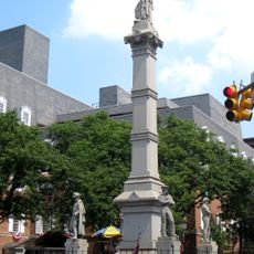
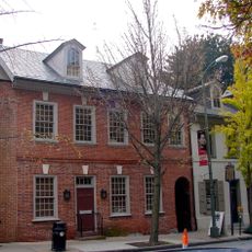
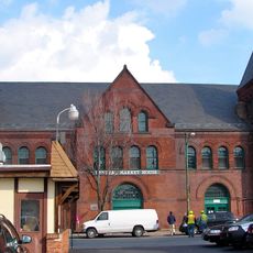
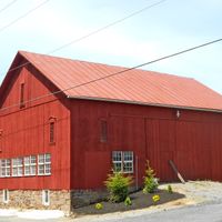
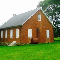
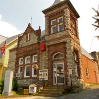
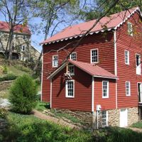
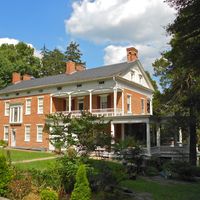
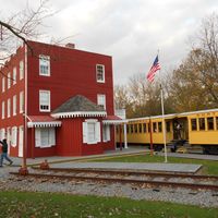
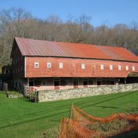
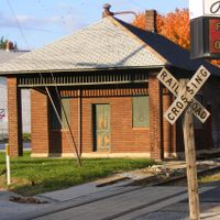
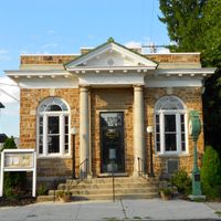
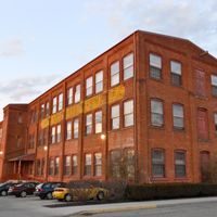
Congress met here in 1777 and adopted the first constitutional articles of the nation. Later, the region developed into a center for farming and smaller industries.

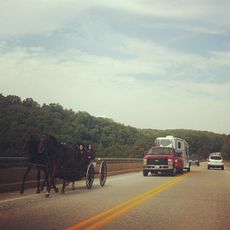
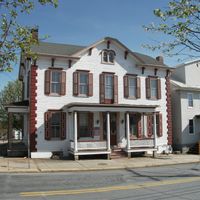
German heritage shapes York County's identity through local traditions, with manufacturers like Utz Quality Foods and Snyder's of Hanover producing regional specialties.

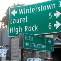
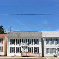
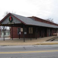
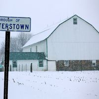
Many towns spread across the county, so a car is useful for longer trips between locations. Walking and cycling paths run along rivers and through farming areas.

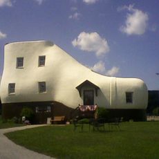
Two well-known makers of chips and pretzels have their factories here and sell their products across much of the country. Motorcycle production facilities also operate in the county, with some offering tours for visitors.

The community of curious travelers

AroundUs brings together thousands of curated places, local tips, and hidden gems, enriched daily by 60,000 contributors worldwide.

Start exploring
Location
Inception
August 19, 1749
Capital city
York
Shares border with
Cumberland County, Dauphin County, Lancaster County, Harford County, Baltimore County, Carroll County, Adams County
GPS coordinates
39.92000,-76.73000
Latest update
December 13, 2025 19:40
Around this place
Franklin & Marshall College
United States of America

Franklin & Marshall College

37.7 km
Codorus State Park
United States of America

Codorus State Park

24.3 km
Haines Shoe House
United States of America

Haines Shoe House

11.8 km
United States of America

Williams Grove Amusement Park

36.5 km
Wheatland
United States of America

Wheatland

36.7 km
Columbia–Wrightsville Bridge
United States of America

Columbia–Wrightsville Bridge

21.8 km
Gifford Pinchot State Park
United States of America

Gifford Pinchot State Park

21.6 km
Central Market
United States of America

Central Market

38.8 km
Safe Harbor Dam
United States of America

Safe Harbor Dam

28.8 km
Fulton Opera House
United States of America

Fulton Opera House

38.3 km
Golden Plough Tavern
United States of America

Golden Plough Tavern

4.7 km
Woodward Hill Cemetery
United States of America

Woodward Hill Cemetery

38.4 km
United States of America

Lancaster Country Club

42.2 km
Hans Herr House
United States of America

Hans Herr House

40.5 km
Soldiers and Sailors Monument
United States of America

Soldiers and Sailors Monument

38.5 km
The Hess Homestead
United States of America

The Hess Homestead

45.9 km
Susquehannock State Park
United States of America

Susquehannock State Park

39.4 km
Hamilton Watch Complex
United States of America

Hamilton Watch Complex

37 km
W. W. Griest Building
United States of America

W. W. Griest Building

38.4 km
Landis Valley Museum
United States of America

Landis Valley Museum

42.9 km
United States of America

Chickies Ridge

22.8 km
United States of America

Field of Screams

29.4 km
Conestoga Town
United States of America

Conestoga Town

28.5 km
Samuel S. Lewis State Park
United States of America

Samuel S. Lewis State Park

17.6 km
Susquehanna River Bridge
United States of America

Susquehanna River Bridge

32.3 km
Demuth Museum
United States of America

Demuth Museum

38.7 km
Norman Wood Bridge
United States of America

Norman Wood Bridge

36.6 km
York Central Market
United States of America

York Central Market

4.8 km
Show the full map
« York County - County in south central Pennsylvania, United States » is provided by Around Us (aroundus.com). Images and texts are derived from Wikimedia project under a Creative Commons license. You are allowed to copy, distribute, and modify copies of this page, under the conditions set by the license, as long as this note is clearly visible.

Discover hidden gems everywhere you go!

From secret cafés to breathtaking viewpoints, skip the crowded tourist spots and find places that match your style. Our app makes it easy with voice search, smart filtering, route optimization, and insider tips from travelers worldwide. Download now for the complete mobile experience.

Around Us App Screenshot

A unique approach to discovering new places

Le Figaro

All the places worth exploring

France Info

A tailor-made excursion in just a few clicks

20 Minutes

Around Us
Travel Guide & Maps
Download

Send to your phone

QR Code
1

Open the camera app on your mobile.

2

Point at the QR code with your camera. A notification will appear.

3

Tap the notification to open the link.