Enable Location

We need your location to show you interesting places around you

Discover nearby places

Find interesting locations and hidden gems around you

Precise directions

Get accurate directions and distances to places

Your location is never shared with other users. It's only used when you tap the location button.

Mount Wolf

Log in to your account

Start exploring — it's free

Trusted by 63,955 travelers worldwide

Continue with Google
Continue with Apple
or

We will send you a code to connect

By continuing, you accept our Terms and Conditions and our Privacy Policy

Check your inbox

We've sent a pincode in your inbox. Please enter the code below.

Discussion Reviews 1 Photos
17k Popularity

Mount Wolf, borough of Pennsylvania, United States of America

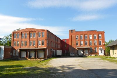
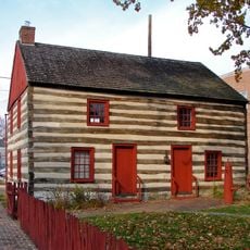
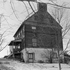
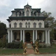
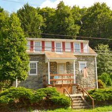
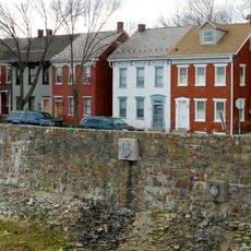
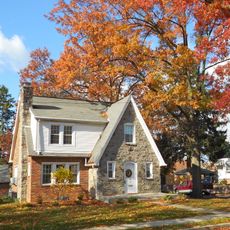
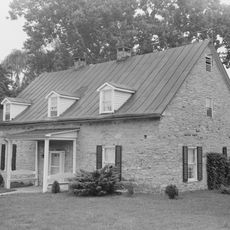
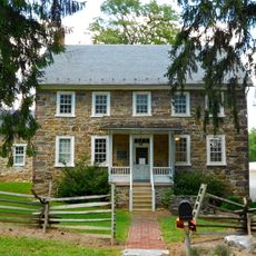
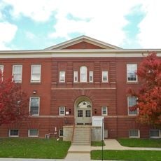
Mount Wolf is a small borough in York County, Pennsylvania that covers less than a square mile and has around 1,100 residents. The houses are closely set together, mostly single-family homes that create a quiet neighborhood where residents know each other.

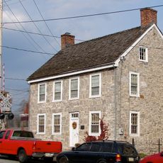
The town was first settled in 1867 and started as a railroad station called Mount Campbell, named after Thomas Campbell. The name later changed to Mount Wolf to honor George H. Wolf, and it officially became a borough in 1910 when it gained its own local government.

Mount Wolf was named after George H. Wolf, a store owner whose family played an important role in the town's early days. The name reminds visitors of local history and shows how small communities keep their past alive in the streets they walk through.

The village is small and easy to walk around since everything is close together within a short distance. Visitors should expect snow and cold weather during winter months, which can make roads slippery and affect travel times.

Tom Wolf, former governor of Pennsylvania, grew up in Mount Wolf and his family owned a store in town. This point of local pride shows how small towns can produce leaders who go on to serve in bigger roles.

The community of curious travelers

AroundUs brings together thousands of curated places, local tips, and hidden gems, enriched daily by 60,000 contributors worldwide.

Start exploring
Location
Inception
1867
GPS coordinates
40.06280,-76.70560
Latest update
February 17, 2026 01:20
Around this place
Haines Shoe House
United States of America

Haines Shoe House

9.2 km
Golden Plough Tavern
United States of America

Golden Plough Tavern

11.4 km
York Central Market
United States of America

York Central Market

11.3 km
United States of America

Shocks Mills Bridge

5.8 km
Barnett Bobb House
United States of America

Barnett Bobb House

11.4 km
Billmeyer House
United States of America

Billmeyer House

11.1 km
Emig Mansion
United States of America

Emig Mansion

4.9 km
Codorus Forge and Furnace Historic District
United States of America

Codorus Forge and Furnace Historic District

4.3 km
Willis House
United States of America

Willis House

10.4 km
York Dispatch Newspaper Offices
United States of America

York Dispatch Newspaper Offices

10.1 km
Kise Mill Bridge
United States of America

Kise Mill Bridge

10.7 km
Sinking Springs Farms
United States of America

Sinking Springs Farms

6.6 km
Grove Mansion
United States of America

Grove Mansion

10.7 km
Pleasureville Historic District
United States of America

Pleasureville Historic District

6.7 km
Fairmount Historic District
United States of America

Fairmount Historic District

10.9 km
Strickler Family Farmhouse
United States of America

Strickler Family Farmhouse

9.2 km
East York Historic District
United States of America

East York Historic District

10 km
Codorus Navigation
United States of America

Codorus Navigation

5.3 km
Locust Grove
United States of America

Locust Grove

4.2 km
Forry House
United States of America

Forry House

11.4 km
Martin Schultz House
United States of America

Martin Schultz House

10.7 km
Michael and Magdealena Bixler Farmstead
United States of America

Michael and Magdealena Bixler Farmstead

4.7 km
Bridge between East Manchester and Newberry Townships
United States of America

Bridge between East Manchester and Newberry Townships

2.3 km
Kise Mill Bridge Historic District
United States of America

Kise Mill Bridge Historic District

10.7 km
William Shelly School and Annex
United States of America

William Shelly School and Annex

5.3 km
Goldsboro Historic District
United States of America

Goldsboro Historic District

10.8 km
York County History Center
United States of America

York County History Center

11.1 km
Haldeman Mansion
United States of America

Haldeman Mansion

4.3 km
Show the full map
Reviews
Share your experience

No review yet

Discussions
Start a discussion...

No discussion yet

« Mount Wolf - borough of Pennsylvania, United States of America » is provided by Around Us (aroundus.com). Images and texts are derived from Wikimedia project under a Creative Commons license. You are allowed to copy, distribute, and modify copies of this page, under the conditions set by the license, as long as this note is clearly visible.

Discover hidden gems everywhere you go!

From secret cafés to breathtaking viewpoints, skip the crowded tourist spots and find places that match your style. Our app makes it easy with voice search, smart filtering, route optimization, and insider tips from travelers worldwide. Download now for the complete mobile experience.

Around Us App Screenshot

A unique approach to discovering new places

Le Figaro

All the places worth exploring

France Info

A tailor-made excursion in just a few clicks

20 Minutes

Around Us
Travel Guide & Maps
Download

Send to your phone

QR Code
1

Open the camera app on your mobile.

2

Point at the QR code with your camera. A notification will appear.

3

Tap the notification to open the link.