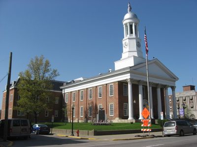
Waynesburg, borough of Pennsylvania, USA
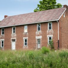
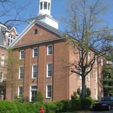
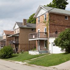
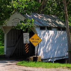
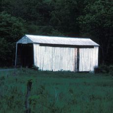
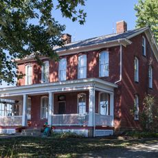
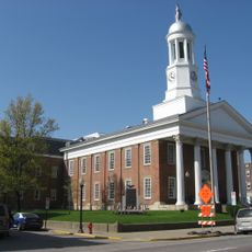
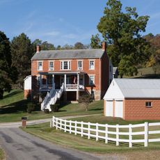
Waynesburg is a small county seat in Greene County located in the center of Pennsylvania and houses the main government offices for the region. The town features buildings with brick facades and small shops lined along quiet streets such as High Street and Greene Street.
The town was founded in 1816 as Eden and later named after General Anthony Wayne, a Revolutionary War hero who shaped the region. In the 20th century, Waynesburg developed around the coal and natural gas industry, which brought jobs and growth to the area.
Waynesburg is named after General Anthony Wayne, a hero of the American Revolution, and his legacy shapes the town's identity. Residents gather regularly in the town center and at local festivals, where the community celebrates together and maintains strong connections with neighbors.
The location is easily accessible, situated about 20 minutes from Washington and roughly one hour from Pittsburgh, making it convenient for commuters. The streets are quiet and suitable for walking, and the town has local shops and cafes for everyday needs.
Greene County was the top producer of merino wool in the United States before World War II and still celebrates this heritage today with an annual sheep festival in May. Visitors can watch sheep herding demonstrations, craft shows, and the Sheep to Shawl competition.
The community of curious travelers
AroundUs brings together thousands of curated places, local tips, and hidden gems, enriched daily by 60,000 contributors worldwide.