Greene County

Log in to your account

AroundUs is a community-driven map of interesting places, built by curious explorers like you. It grows with every review, story, and photo you share.
Connect to save your favorite spots, contribute locations, and create personalized routes.
Continue with Google
Continue with Apple
Continue with X
Continue with Facebook
Continue with email
By continuing, you accept our Terms and Conditions and our Privacy Policy
Create an account
Add to collection
Map
Suggest a change
Share

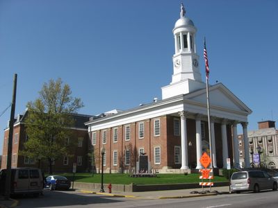
Greene County, County seat and administrative division in southwestern Pennsylvania, United States

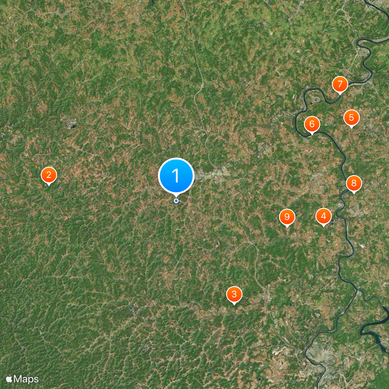
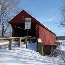
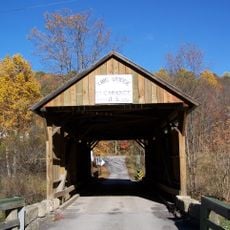
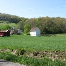
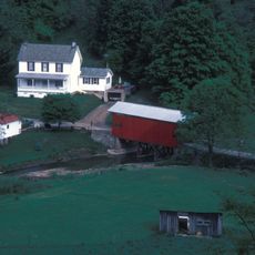
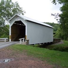
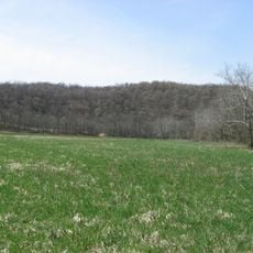
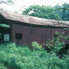
Greene County is an administrative division in southwestern Pennsylvania with Waynesburg as its central hub. The landscape features rolling hills and farmland that form the backdrop for communities spread throughout the region.

The county was established in 1796 by the Pennsylvania General Assembly and named after General Nathanael Greene of the Revolutionary War. This founding shaped how the region developed as an organized administrative area.

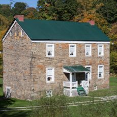
The county's identity grows from farming practices that shape how families organize their land and time across generations. These traditions appear in the way people gather for county fairs and community events that bring neighbors together.

Visitors can access county offices in Waynesburg or contact local services to plan their time in the region. Most communities are connected by well-maintained roads, making it easy to explore different areas.

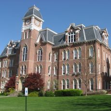
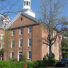
Waynesburg University in the county seat maintains a tradition of ringing its chapel bells 96 times during graduation ceremonies. This specific number carries historical meaning tied to the institution's founding.

Location: Pennsylvania

Inception: February 9, 1796

Capital city: Waynesburg

Shares border with: Washington County, Fayette County, Monongalia County, Wetzel County, Marshall County

Website: http://co.greene.pa.us

GPS coordinates: 39.86000,-80.22000

Latest update: December 20, 2025 03:06

Photos
Around this place
Ryerson Station State Park
United States of America

Ryerson Station State Park

19.3 km
Mason and Dixon Survey Terminal Point
United States of America

Mason and Dixon Survey Terminal Point

17.7 km
Sugar Grove Petroglyphs
United States of America

Sugar Grove Petroglyphs

22.4 km
Penn-Craft Historic District
United States of America

Penn-Craft Historic District

28.5 km
United States of America

Greene River Trail

22.7 km
United States of America

Mon-Fayette Expressway Bridge

29.3 km
Andrew Rabb House
United States of America

Andrew Rabb House

26.7 km
John Corbley Farm
United States of America

John Corbley Farm

17 km
Point Marion Lock and Dam
United States of America

Point Marion Lock and Dam

30.3 km
Regester Log House
United States of America

Regester Log House

25.5 km
Albert Gallatin Memorial Bridge
United States of America

Albert Gallatin Memorial Bridge

30.2 km
Bailey Covered Bridge
United States of America

Bailey Covered Bridge

18 km
King Covered Bridge
United States of America

King Covered Bridge

12.3 km
Richard T. Foley Site
United States of America

Richard T. Foley Site

14.2 km
Miller Hall
United States of America

Miller Hall

5.2 km
William Crawford House
United States of America

William Crawford House

23.4 km
Hanna Hall
United States of America

Hanna Hall

5.2 km
Greensboro Public School
United States of America

Greensboro Public School

27.3 km
Horn Davis Overholtzer Bridge
United States of America

Horn Davis Overholtzer Bridge

21.3 km
Crawford Covered Bridge
United States of America

Crawford Covered Bridge

26.5 km
White Covered Bridge
United States of America

White Covered Bridge

15.5 km
James Jones House
United States of America

James Jones House

27.4 km
Charles Grant Heasley House
United States of America

Charles Grant Heasley House

5.7 km
Ulery Mill
United States of America

Ulery Mill

20.9 km
Fisher Site
United States of America

Fisher Site

23.8 km
Martin's Mill Covered Bridge
United States of America

Martin's Mill Covered Bridge

18.7 km
Masontown Bridge
United States of America

Masontown Bridge

25.1 km
Grays Landing Lock & Dam
United States of America

Grays Landing Lock & Dam

25.8 km
Show the full map
Reviews

Visited this place? Tap the stars to rate it and share your experience / photos with the community! Try now! You can cancel it anytime.

« Greene County - County seat and administrative division in southwestern Pennsylvania, United States » is provided by Around Us (aroundus.com). Images and texts are derived from Wikimedia project under a Creative Commons license. You are allowed to copy, distribute, and modify copies of this page, under the conditions set by the license, as long as this note is clearly visible.

Discover hidden gems everywhere you go!

From secret cafés to breathtaking viewpoints, skip the crowded tourist spots and find places that match your style. Our app makes it easy with voice search, smart filtering, route optimization, and insider tips from travelers worldwide. Download now for the complete mobile experience.

Around Us App Screenshot

A unique approach to discovering new places

Le Figaro

All the places worth exploring

France Info

A tailor-made excursion in just a few clicks

20 Minutes