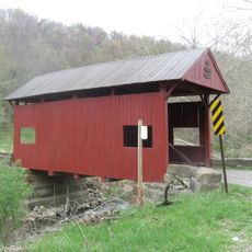
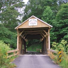
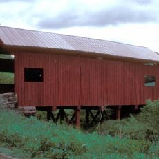
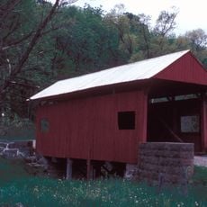
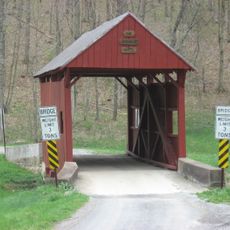
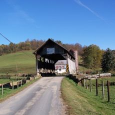
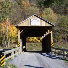
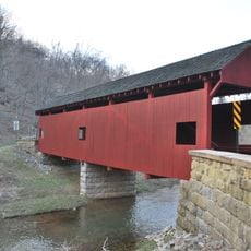
Ryerson Station State Park, Nature reserve in Richhill Township, Pennsylvania, United States.
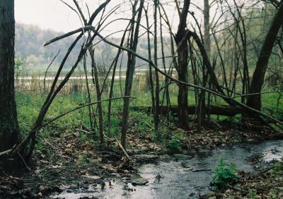
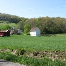
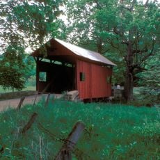
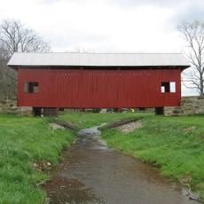
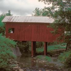
Ryerson Station State Park is a nature reserve covering more than 1,000 acres in Greene County, Pennsylvania. The land features mixed forests, open fields, and several flowing streams throughout its landscape.
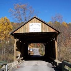
The park was established as a state facility in 1967, taking its name from a 1792 fort that protected early settlers. The area became important during the westward expansion of settlements toward the Ohio River valley.
The park offers nature education programs where visitors learn about local wildlife and conservation efforts. These activities help people understand how the land and its ecosystems work together.
Visitors can camp at 48 campsites equipped with modern restrooms and hot showers throughout the park. Two wooden cabins with electricity are also available for those seeking more comfortable overnight accommodations.
An artificial lake called Duke Lake once defined the park landscape but was drained completely in 2005 due to mining damage beneath the dam. The empty basin now reveals a different chapter in how the land has been used and shaped.
The community of curious travelers
AroundUs brings together thousands of curated places, local tips, and hidden gems, enriched daily by 60,000 contributors worldwide.