Chest opened
+${chestReward.xp} XP
Explorer
NOUVEAU ×${chestReward.collectible.quantity}
tapez pour fermer
Chest locked

Open chests in the app

Around Us is built for your phone — chests unlock when you walk, explore and capture nearby places.

Enable Location

We need your location to show you interesting places around you

Discover nearby places

Find interesting locations and hidden gems around you

Precise directions

Get accurate directions and distances to places

Your location is never shared with other users. It's only used when you tap the location button.

The Plains

Log in to your account

Start exploring — it's free

Trusted by 72,893 travelers worldwide

Continue with Google
Continue with Apple
or

We will send you a code to connect

By continuing, you accept our Terms and Conditions and our Privacy Policy

Check your inbox

We've sent a pincode in your inbox. Please enter the code below.

Discussion Reviews 1 Photos
26.6k Popularity

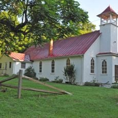
The Plains, Rural town in Fauquier County, Virginia.

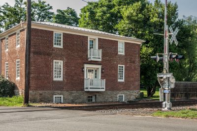
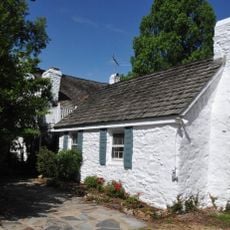
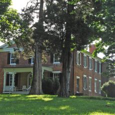
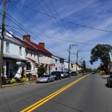
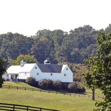
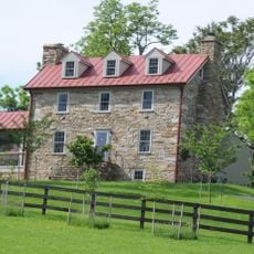
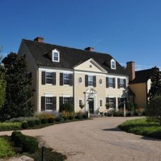
The Plains is a small rural town in northeastern Fauquier County located at the intersection of Virginia Route 55 and Virginia Route 245. The area is surrounded by horse farms and open fields, with a compact town center that houses restaurants, galleries, antique shops, and local businesses.

The post office here was founded in 1831 as the town began to develop as a rural center. During the Civil War, the area became known for the activities of John S. Mosby and his Rangers, who operated from this region.

The town is shaped by its horse-farming traditions and rural character that still define daily life here. The annual Virginia Gold Cup steeplechase race each May remains a gathering that reflects the area's long connection to equestrian sports.

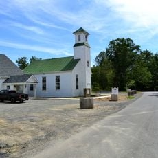
The town center is easy to explore on foot and offers several restaurants and a coffee house for a quick stop. The area is most pleasant to visit during the day when shops and galleries are open, and the main streets are straightforward to navigate.

The Afro-American Historical Association operates a museum exhibit called Footprint to Change on Loudoun Avenue here. This local collection preserves community history and is often overlooked despite offering important perspectives on the region's past.

The community of curious travelers

AroundUs brings together thousands of curated places, local tips, and hidden gems, enriched daily by 60,000 contributors worldwide.

Start exploring
Location
Elevation above the sea
186 m
GPS coordinates
38.86280,-77.77560
Latest update
December 24, 2025 16:50
Around this place
Beverley Mill
United States of America

Beverley Mill

7.1 km
The Hollow
United States of America

The Hollow

5.6 km
Thoroughfare Gap Battlefield
United States of America

Thoroughfare Gap Battlefield

6.9 km
Rectortown Historic District
United States of America

Rectortown Historic District

9.7 km
Waveland
United States of America

Waveland

8.3 km
Marshall Historic District
United States of America

Marshall Historic District

6.9 km
Mt. Atlas
United States of America

Mt. Atlas

9.8 km
Ashville Historic District
United States of America

Ashville Historic District

8.4 km
Evergreen
United States of America

Evergreen

10.1 km
Number 18 School in Marshall
United States of America

Number 18 School in Marshall

4.9 km
Galemont
United States of America

Galemont

4.8 km
Burrland Farm Historic District
United States of America

Burrland Farm Historic District

9.2 km
Morgantown Historic District
United States of America

Morgantown Historic District

9.1 km
United States of America

Waverly

8 km
Broad Run-Little Georgetown Rural Historic District
United States of America

Broad Run-Little Georgetown Rural Historic District

3.5 km
Old Denton
United States of America

Old Denton

6.1 km
Green Pastures (Middleburg, Virginia)
United States of America

Green Pastures (Middleburg, Virginia)

8.6 km
United States of America

Carters Run Rural Historic District

7.8 km
Mount Hope
United States of America

Mount Hope

8.6 km
United States of America

Hickory Tree Farm Lake

8.3 km
United States of America

Nature Pavilion

10.1 km
United States of America

Akela Village

10.2 km
United States of America

Fred And Anita Scott Amphitheater

9.9 km
United States of America

Wachovia Handicraft Pavilion

10.2 km
United States of America

Little Georgetown Pike Amphitheater

8 km
United States of America

Scenic viewpoint

10.1 km
United States of America

Pine Mountain Overlook

8.2 km
United States of America

Waterfall

8.6 km
Show the full map
Reviews
Share your experience

No review yet

Discussions
Start a discussion...

No discussion yet

« The Plains - Rural town in Fauquier County, Virginia » is provided by Around Us (aroundus.com). Images and texts are derived from Wikimedia project under a Creative Commons license. You are allowed to copy, distribute, and modify copies of this page, under the conditions set by the license, as long as this note is clearly visible.

Discover hidden gems everywhere you go!

From secret cafés to breathtaking viewpoints, skip the crowded tourist spots and find places that match your style. Our app makes it easy with voice search, smart filtering, route optimization, and insider tips from travelers worldwide. Download now for the complete mobile experience.

Around Us App Screenshot

A unique approach to discovering new places

Le Figaro

All the places worth exploring

France Info

A tailor-made excursion in just a few clicks

20 Minutes

Around Us
Travel Guide & Maps
Download

Send to your phone

QR Code
1

Open the camera app on your mobile.

2

Point at the QR code with your camera. A notification will appear.

3

Tap the notification to open the link.