Log in to your account

AroundUs is a community-driven map of interesting places, built by curious explorers like you. It grows with every review, story, and photo you share.
Connect to save your favorite spots, contribute locations, and create personalized routes.
Continue with Google
Continue with Apple
Continue with X
Continue with Facebook
Continue with email
By continuing, you accept our Terms and Conditions and our Privacy Policy
Create an account
Add to collection
Map
Suggest a change
Share

Blackfeet Indian Reservation, Native American reservation in northwestern Montana, United States

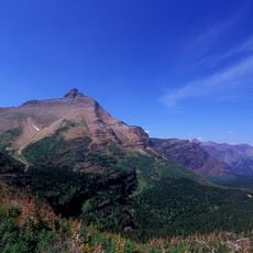
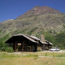
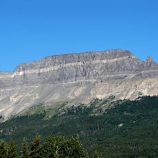
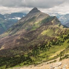
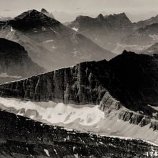
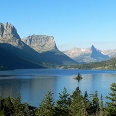
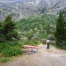
The Blackfeet Indian Reservation is a large tribal territory in northwestern Montana situated along the eastern edge of Glacier National Park. It encompasses diverse landscapes ranging from open plains to mountainous terrain.

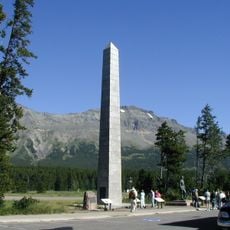
The Blackfeet people migrated to Montana from the Great Lakes region during the 17th century and formalized their presence through treaties with the federal government. The 1855 agreement marked a turning point in their relationship with the United States.

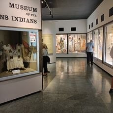
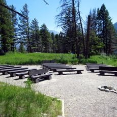
The North American Indian Days festival in Browning features traditional dances and ceremonies that remain central to community life. Visitors can experience how these gatherings bring people together to celebrate their heritage.

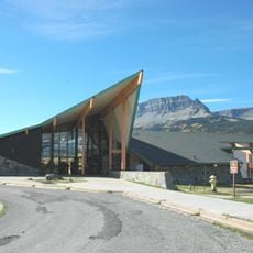
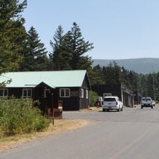
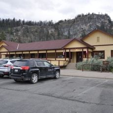
Browning serves as the administrative hub where visitors can find information and obtain permits for activities on the reservation. Stopping there first helps orient yourself before exploring the wider territory.

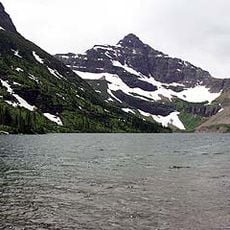
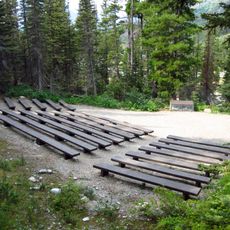
The Badger-Two Medicine area within the reservation contains sacred sites important to the Blackfeet and remains protected for traditional hunting and fishing. This remote landscape holds deep significance for the people's connection to their homeland.

Location: Montana

Website: http://blackfeetnation.com

GPS coordinates: 48.65860,-112.87200

Latest update: December 20, 2025 11:23

Photos
Around this place
Triple Divide Peak
United States of America

Triple Divide Peak

48.4 km
Two Medicine Store
United States of America

Two Medicine Store

41.4 km
Saint Mary Visitor Center, Entrance Station and Checking Stations
United States of America

Saint Mary Visitor Center, Entrance Station and Checking Stations

42.7 km
Summit Mountain
United States of America

Summit Mountain

50 km
Cut Bank Ranger Station Historic District
United States of America

Cut Bank Ranger Station Historic District

37.6 km
Glacier National Park Tourist Trails
United States of America

Glacier National Park Tourist Trails

50.9 km
Lone Walker Mountain
United States of America

Lone Walker Mountain

50.2 km
Saint Mary Ranger Station
United States of America

Saint Mary Ranger Station

42.4 km
United States of America

McClintock Peak

46.7 km
Roes Creek Campground Camptender's Cabin
United States of America

Roes Creek Campground Camptender's Cabin

47.9 km
Two Medicine Campground Camptender's Cabin
United States of America

Two Medicine Campground Camptender's Cabin

41 km
Swanson Boathouse
United States of America

Swanson Boathouse

41.5 km
St. Mary Utility Area Historic District
United States of America

St. Mary Utility Area Historic District

41.9 km
East Glacier Ranger Station Historic District
United States of America

East Glacier Ranger Station Historic District

35 km
Singleshot Mountain
United States of America

Singleshot Mountain

46.9 km
Tinkham Mountain
United States of America

Tinkham Mountain

49 km
Razoredge Mountain
United States of America

Razoredge Mountain

48.8 km
Upper Park Creek Patrol Cabin
United States of America

Upper Park Creek Patrol Cabin

51.1 km
Little Chief
United States of America

Little Chief

48.1 km
Glacier County Courthouse
United States of America

Glacier County Courthouse

40.2 km
Saint Mary Lake
United States of America

Saint Mary Lake

48.1 km
Rising Sun Auto Camp Historic District
United States of America

Rising Sun Auto Camp Historic District

47.7 km
Museum of the Plains Indian
United States of America

Museum of the Plains Indian

15.9 km
St. Mary Utility Area Gas and Oil House
United States of America

St. Mary Utility Area Gas and Oil House

41.9 km
Two Medicine Campground Amphitheater
United States of America

Two Medicine Campground Amphitheater

40.7 km
Rising Sun Campground
United States of America

Rising Sun Campground

47.9 km
Rising Sun Campground Amphitheater
United States of America

Rising Sun Campground Amphitheater

48 km
Two Medicine Campground
United States of America

Two Medicine Campground

40.8 km
Show the full map
Reviews

Visited this place? Tap the stars to rate it and share your experience / photos with the community! Try now! You can cancel it anytime.

« Blackfeet Indian Reservation - Native American reservation in northwestern Montana, United States » is provided by Around Us (aroundus.com). Images and texts are derived from Wikimedia project under a Creative Commons license. You are allowed to copy, distribute, and modify copies of this page, under the conditions set by the license, as long as this note is clearly visible.

Discover hidden gems everywhere you go!

From secret cafés to breathtaking viewpoints, skip the crowded tourist spots and find places that match your style. Our app makes it easy with voice search, smart filtering, route optimization, and insider tips from travelers worldwide. Download now for the complete mobile experience.

Around Us App Screenshot

A unique approach to discovering new places

Le Figaro

All the places worth exploring

France Info

A tailor-made excursion in just a few clicks

20 Minutes