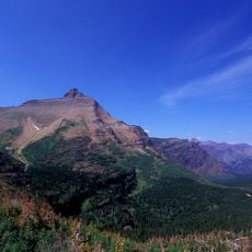
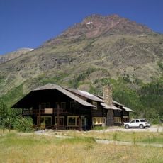
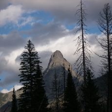
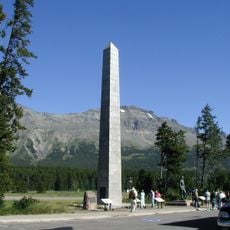
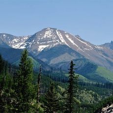
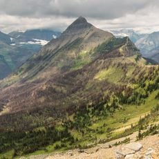
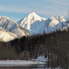
Lone Walker Mountain, Mountain summit in Glacier National Park, Montana, US.
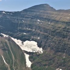
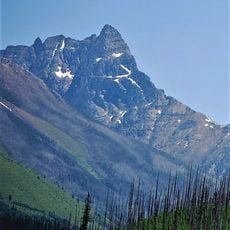
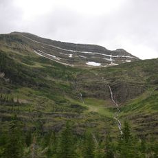
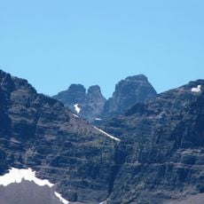
Lone Walker Mountain is an 8,502-foot (2,591 m) summit in the Lewis Range of Glacier National Park, Montana, set immediately southwest of Upper Two Medicine Lake along the Continental Divide. Its slopes expose sedimentary rock laid down in shallow seas during the Precambrian to Jurassic periods.
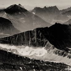
The mountain took shape about 170 million years ago when ancient rock layers shifted and stacked on top of each other through tectonic movement. These shifts created the steep walls and layered appearance visible today.
The name Lone Walker comes from a Blackfeet figure, and the peak stands above Upper Two Medicine Lake, a valley the Blackfeet used and travelled through. The mountain rises to 8,502 feet (2,591 m) on the Continental Divide, so the summit marks the boundary between drainage systems. Hikers on the Two Medicine trails see the peak from the lake's southwest shore.
Lone Walker Mountain stands just southwest of Upper Two Medicine Lake, on the Continental Divide. The nearest trail access is from the Two Medicine area, and the peak is a mountaineering objective rather than a marked trail. Snow persists into summer, and wind chill can fall below −30 °F.
The peak contains rock layers from different geological periods, with older formations sitting atop younger ones due to ancient earth movements. This reversed arrangement reveals how powerful the forces were that shaped the mountains long ago.
The community of curious travelers
AroundUs brings together thousands of curated places, local tips, and hidden gems, enriched daily by 93,782 contributors worldwide.