Mount Doody, Mountain summit in Glacier National Park, Montana, US
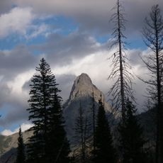
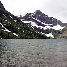
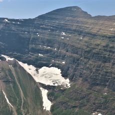
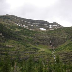
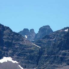
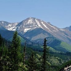
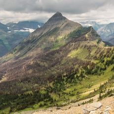
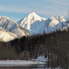
Mount Doody is a summit of the Lewis Range in Glacier National Park, Montana, rising to between 8,644 and 8,684 feet. Its dark grey, layered faces are cut by near-vertical ridges and gullies, with snow patches on the upper slopes and conifer forest below. It stands on the same ridgeline as the Cloudcroft Peaks, immediately to the southwest.
The peak received its name from Dan Doody, one of the first six rangers who patrolled Glacier National Park's Middle Fork drainages in its early years. Its rock layers formed approximately 170 million years ago through the Lewis Overthrust, a major geological event that shaped this mountain range.
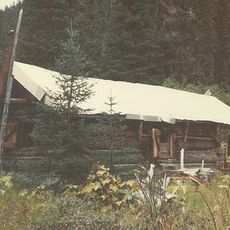
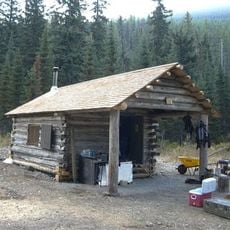
The peak carries the name of Dan Doody, one of Glacier National Park's first six rangers, who patrolled the Middle Fork drainages from his own homestead. Later recognized for his hunting skills, he served as a park hunter tasked with removing what managers then called undesirable wildlife. The name keeps that early park-staff history attached to the mountain.
Reaching this summit requires mountain climbing experience with steep slopes and exposed rock sections, so proper equipment and fitness are necessary. Conditions change rapidly at elevation, especially in exposed areas where wind and cold become significantly stronger.
Mount Doody's summit is built of Precambrian to Jurassic sedimentary rock laid down in shallow seas, then carried on a slab of older rock about 3 mi (4.8 km) thick, 50 mi (80 km) wide and 160 mi (260 km) long that the Lewis Overthrust pushed over younger Cretaceous rock starting 170 million years ago. The result is older stone resting on top of younger.
The community of curious travelers
AroundUs brings together thousands of curated places, local tips, and hidden gems, enriched daily by 93,782 contributors worldwide.