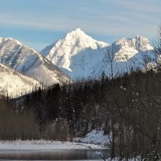
Cloudcroft Peaks, Mountain summit in Glacier National Park, Montana, USA
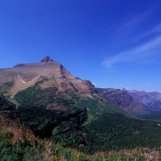
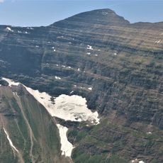
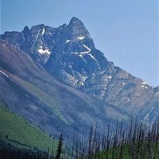
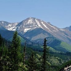
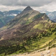
Cloudcroft Peaks is a 2,656-metre summit in the Lewis Range of Glacier National Park, Montana, in Flathead County. It is built of Precambrian to Jurassic sedimentary rock, part of a slab about 4.8 km thick and 80 km wide pushed over younger Cretaceous rock by the Lewis Overthrust. The peak rises about 398 metres above the surrounding terrain, and Mount Stimson lies 9.4 km to its south.
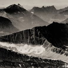
Cloudcroft Peaks is built of sedimentary rock laid down in shallow seas from the Precambrian to Jurassic periods. About 170 million years ago the Lewis Overthrust fault pushed a slab of Precambrian rock roughly 3 miles thick, 50 miles wide and 160 miles long over younger Cretaceous rock, raising the peaks of the Lewis Range.
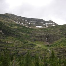
The peaks lie in Flathead County, about 9.4 km north of Mount Stimson, the higher summit visible from the area. The surrounding terrain is mostly forested, with fewer than two people per square kilometre and no town nearby, so the mountain is approached as backcountry rather than as a roadside stop.
Cloudcroft Peaks sits in the alpine subarctic zone of the Lewis Range, where winters are long and very cold and summers short and cool to mild. Winter temperatures can fall below −10 °F, with wind chill factors below −30 °F. The peak lies in Flathead County, about 9.4 km north of Mount Stimson, the higher summit nearby.
Cloudcroft Peaks reaches 8,714 feet (2,656 m), while a secondary source gives 2,644 m; the surrounding terrain rises about 398 m above the nearby land. Mount Stimson, at 3,076 m, lies 9.4 km to the south. Fewer than two people live per square kilometre around the peak, and no town stands nearby.
The community of curious travelers
AroundUs brings together thousands of curated places, local tips, and hidden gems, enriched daily by 94,846 contributors worldwide.