
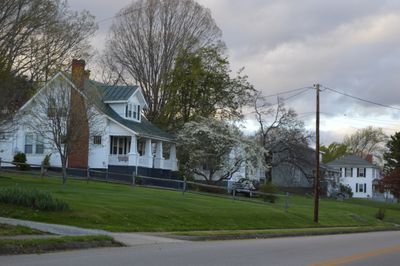
Hurt, town in Pittsylvania County, Virginia
Location: Pittsylvania County
Elevation above the sea: 228 m
Website: https://townofhurtva.gov
GPS coordinates: 37.09500,-79.29830
Latest update: April 12, 2025 01:07
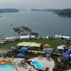
Smith Mountain Lake
21.9 km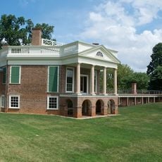
Poplar Forest
28.3 km
Smith Mountain Dam
21.9 km
Smith Mountain Lake State Park
26.3 km
Montview
30.6 km
New London Academy, Forest
23.7 km
Avoca
4.6 km
Liberty Hall
23.5 km
Bellevue
30.6 km
Caryswood
15.8 km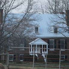
Shady Grove
23.8 km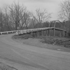
Mansion Truss Bridge
5.7 km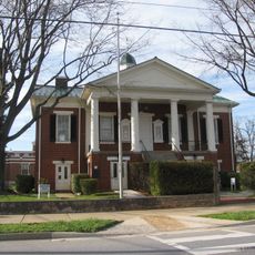
Campbell County Courthouse
26.8 km
Dr. Richard Thornton House
27.1 km
Rothsay
30.2 km
Collins Ferry Historic District
23.6 km
Federal Hill
24 km
Altavista Downtown Historic District
8.2 km
John and Nancy Yeatts House
25.1 km
Locust Hill
4.4 km
Mount Airy
10.6 km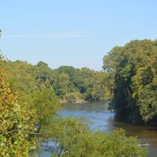
Cat Rock Sluice of the Roanoke Navigation
30.5 km
Walnut Hill (Lynchburg, Virginia)
20.8 km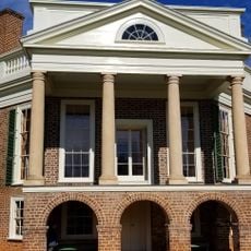
Thomas Jefferson's Poplar Forest
28.3 km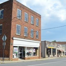
Gretna Commercial Historic District
16.8 km
Phillip Craft House
25.7 km
Hill Grove School
5.3 km
Pleasant View
28.7 kmVisited this place? Tap the stars to rate it and share your experience / photos with the community! Try now! You can cancel it anytime.
Discover hidden gems everywhere you go!
From secret cafés to breathtaking viewpoints, skip the crowded tourist spots and find places that match your style. Our app makes it easy with voice search, smart filtering, route optimization, and insider tips from travelers worldwide. Download now for the complete mobile experience.

A unique approach to discovering new places❞
— Le Figaro
All the places worth exploring❞
— France Info
A tailor-made excursion in just a few clicks❞
— 20 Minutes