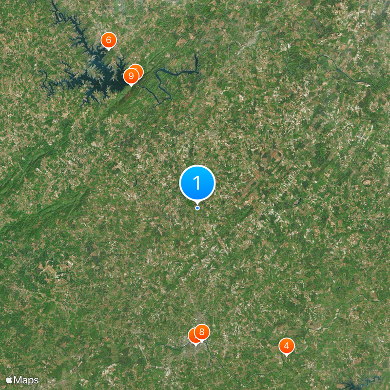
Pittsylvania County, Administrative county in Virginia, United States.
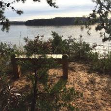
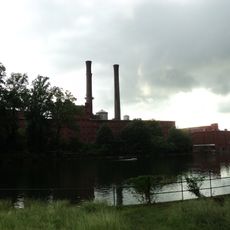
Pittsylvania County is an administrative region in southern Virginia covering a large expanse of rural land. The area is shaped by rolling terrain and multiple waterways that cut through the landscape, with scattered towns and open countryside.
The county was established in 1767 and named after William Pitt, the first Earl of Chatham, who held significant political power in Britain during the colonial era. This colonial-era naming reflects the region's connection to early American history.
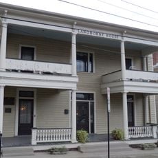
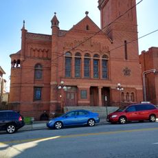
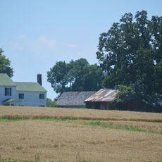
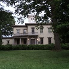
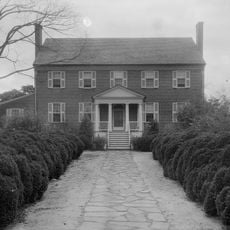
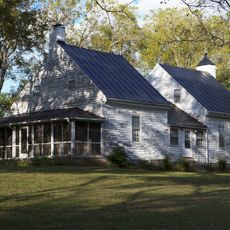
The county reflects rural traditions where farming and local craftsmanship remain central to how people live and work together. This connection to the land shapes the character of the small towns scattered throughout the region.
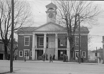
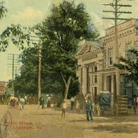
Chatham serves as the county seat and main administrative hub for the region. Since this is primarily rural territory, distances between towns can be substantial, so visitors should plan travel times accordingly.
The county sits above one of the largest undeveloped uranium deposits in the United States, a geological feature that remains largely unexploited. This underground resource makes the region noteworthy for those interested in geology and natural resources.
Location: Virginia
Inception: 1767
Capital city: Chatham
Shares border with: Bedford County, Campbell County, Halifax County, Caswell County, Danville, Rockingham County, Henry County, Franklin County
Website: http://pittsylvaniacountyva.gov
GPS coordinates: 36.82000,-79.40000
Latest update: December 6, 2025 22:05
Smith Mountain Lake
27.4 km
Hargrave Military Academy
1.3 km
Virginia International Raceway
33.6 km
Smith Mountain Dam
27.4 km
Smith Mountain Lake State Park
35.3 km
Langhorne House
26.7 km
Danville National Cemetery
26.1 km
Gwin Dudley Home Site
36.1 km
Danville Historic District
26.5 km
Dan River Mill No. 8
25.4 km
Brandon Plantation
36.6 km
Avoca
36.4 km
Danville Public Library (Danville, Virginia)
26.6 km
Pittsylvania County Courthouse
609 m
Downtown Danville Historic District
25.9 km
Carlbrook
25.3 km
Oak Ridge
29.6 km
Dan's Hill
26.8 km
Mansion Truss Bridge
36.1 km
Woodlawn
21.7 km
North Danville Historic District
24.8 km
Altavista Downtown Historic District
36.5 km
Mountain View
4.1 km
John and Nancy Yeatts House
8.6 km
Holbrook-Ross Street Historic District
25.9 km
Danville Municipal Building
26 km
Locust Hill
33.8 km
Mount Airy
31.8 kmVisited this place? Tap the stars to rate it and share your experience / photos with the community! Try now! You can cancel it anytime.
Discover hidden gems everywhere you go!
From secret cafés to breathtaking viewpoints, skip the crowded tourist spots and find places that match your style. Our app makes it easy with voice search, smart filtering, route optimization, and insider tips from travelers worldwide. Download now for the complete mobile experience.
A unique approach to discovering new places❞
— Le Figaro
All the places worth exploring❞
— France Info
A tailor-made excursion in just a few clicks❞
— 20 Minutes