Log in to your account

AroundUs is a community-driven map of interesting places, built by curious explorers like you. It grows with every review, story, and photo you share.
Connect to save your favorite spots, contribute locations, and create personalized routes.
Continue with Google
Continue with Apple
Continue with X
Continue with Facebook
Continue with email
By continuing, you accept our Terms and Conditions and our Privacy Policy
Create an account

Essex National Heritage Area

Add to collection
Map
Suggest a change
Share

Essex National Heritage Area, National Heritage Area in Essex County, Massachusetts, United States

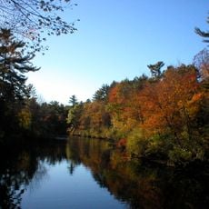
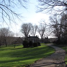
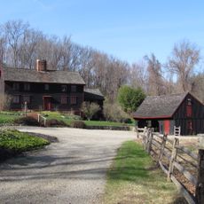
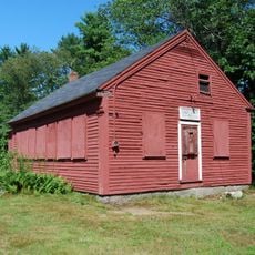
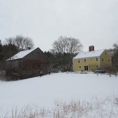
Essex National Heritage Area is a regional network across northeastern Massachusetts that connects historic sites, museums, and natural areas across multiple communities. The region combines coastal towns, industrial heritage sites, and rural landscapes that together tell the story of maritime trade, early American innovation, and diverse settlement patterns.

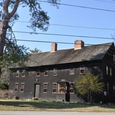
The region became a major center for shipping and trade starting in the 1600s, shaping early American commerce and industry. Federal recognition as a National Heritage Area in 1996 established ongoing protection and interpretation of this significant landscape.

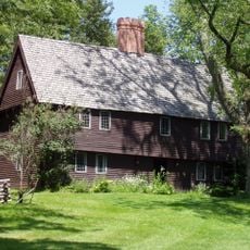
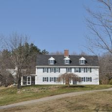
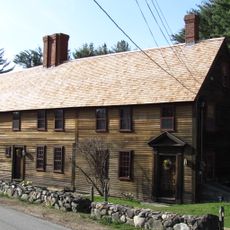
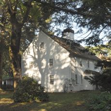
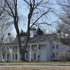
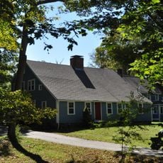
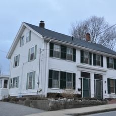
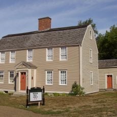
The area developed as a major port with maritime roots that shaped communities, from fishing villages to shipbuilding centers. Visitors can see this heritage reflected in local architecture, waterfront traditions, and the way neighborhoods still honor their seafaring past.

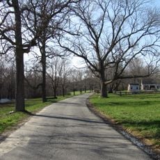
The region is easily accessible by car, with main roads connecting the different communities and allowing visitors to explore at their own pace. Visitor centers in larger towns offer maps, guides, and directions to help plan a route through the different historic sites and attractions.

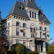
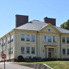
The area is home to some of the earliest scientific societies and academic institutions in America, whose libraries and collections remain accessible to curious visitors. Walking through these towns, you notice how educational buildings sit alongside commercial structures, showing how knowledge and trade developed hand in hand.

Location: Massachusetts

GPS coordinates: 42.66328,-70.95839

Latest update: December 14, 2025 11:02

Photos
Around this place
Bradley Palmer State Park
United States of America

Bradley Palmer State Park

6.1 km
Parson Capen House
United States of America

Parson Capen House

2.3 km
Ipswich River Wildlife Sanctuary
United States of America

Ipswich River Wildlife Sanctuary

5.9 km
Willowdale State Forest
United States of America

Willowdale State Forest

4.2 km
Water Park of New England
United States of America

Water Park of New England

7.4 km
Zaccheus Gould House
United States of America

Zaccheus Gould House

3.3 km
Coolidge Estate
United States of America

Coolidge Estate

3.7 km
Phillips Library
United States of America

Phillips Library

6.9 km
John Boardman House
United States of America

John Boardman House

5.4 km
Stanley Lake House
United States of America

Stanley Lake House

3.3 km
French-Andrews House
United States of America

French-Andrews House

2.8 km
Holyoke-French House
United States of America

Holyoke-French House

3.2 km
Palmer School
United States of America

Palmer School

3.7 km
Howe Barn
United States of America

Howe Barn

2.4 km
Dickinson-Pillsbury-Witham House
United States of America

Dickinson-Pillsbury-Witham House

7.4 km
Spofford-Barnes House
United States of America

Spofford-Barnes House

3.1 km
Sawyer House
United States of America

Sawyer House

4.2 km
Hazen-Kimball-Aldrich House
United States of America

Hazen-Kimball-Aldrich House

6.1 km
Sarah H. Harding House
United States of America

Sarah H. Harding House

2.8 km
Brocklebank-Nelson-Beecher House
United States of America

Brocklebank-Nelson-Beecher House

6.7 km
Boxford Village Historic District
United States of America

Boxford Village Historic District

3.4 km
River Road-Cross Street Historic District
United States of America

River Road-Cross Street Historic District

4 km
Stephen Foster House
United States of America

Stephen Foster House

2 km
Topsfield Town Common District
United States of America

Topsfield Town Common District

2.4 km
Phineas Foster House
United States of America

Phineas Foster House

2.4 km
Capt. Joseph Gould House
United States of America

Capt. Joseph Gould House

2.5 km
Howe Village Historic District
United States of America

Howe Village Historic District

1.6 km
Georgetown Central School
United States of America

Georgetown Central School

7.2 km
Show the full map
Reviews

Visited this place? Tap the stars to rate it and share your experience / photos with the community! Try now! You can cancel it anytime.

« Essex National Heritage Area - National Heritage Area in Essex County, Massachusetts, United States » is provided by Around Us (aroundus.com). Images and texts are derived from Wikimedia project under a Creative Commons license. You are allowed to copy, distribute, and modify copies of this page, under the conditions set by the license, as long as this note is clearly visible.

Discover hidden gems everywhere you go!

From secret cafés to breathtaking viewpoints, skip the crowded tourist spots and find places that match your style. Our app makes it easy with voice search, smart filtering, route optimization, and insider tips from travelers worldwide. Download now for the complete mobile experience.

Around Us App Screenshot

A unique approach to discovering new places

Le Figaro

All the places worth exploring

France Info

A tailor-made excursion in just a few clicks

20 Minutes