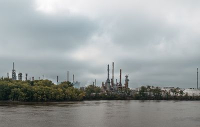
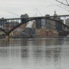
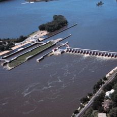
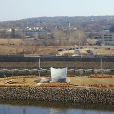
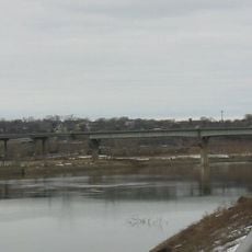
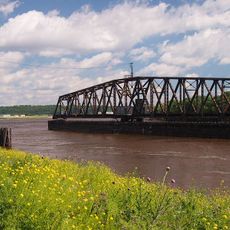
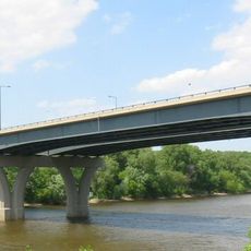
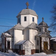
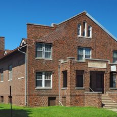
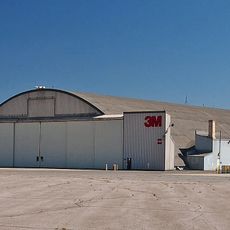
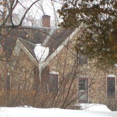
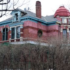
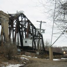
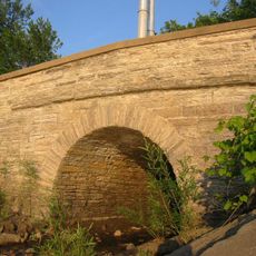
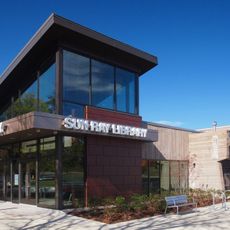
St. Paul Park, city in Washington County, Minnesota, United States
Location: Washington County
Elevation above the sea: 239 m
Website: http://www.stpaulpark.govoffice.com/
Website: http://stpaulpark.govoffice.com
GPS coordinates: 44.83944,-92.99167
Latest update: March 11, 2025 07:32
Indian Mounds Park
12.8 km
Smith Avenue High Bridge
13.7 km
Lock and Dam No. 2
13.2 km
Raspberry Island
13.8 km
Harriet Island Pavilion
13.7 km
Rock Island Swing Bridge
2.1 km
Wakota Bridge
5.2 km
Lafayette Bridge
13.8 km
St. Paul Union Pacific Rail Bridge
10 km
Lexington Bridge
13.7 km
Cordenio Severance House
6.9 km
St. Stefan's Romanian Orthodox Church
7.3 km
Serbian Home
6.2 km
Riverside Hangar
12.7 km
Reuben Freeman House
3.5 km
Colorado Street Bridge
12.9 km
Riverview Branch Library
12.5 km
George W. Wentworth House
9.2 km
Saint Matthew's School
12.6 km
John P. Furber House
8.7 km
Anthony Yoerg, Sr. House
13.2 km
Rau/Strong House
12.4 km
Giesen–Hauser House
13.6 km
Dwight and Clara Watson House
12.9 km
Edward and Elizabeth Heimbach House and Carriage House
13 km
Omaha Road Bridge Number 15
13.6 km
Mendota Road Bridge
13.4 km
Sun Ray Branch Library
12.9 kmReviews
Visited this place? Tap the stars to rate it and share your experience / photos with the community! Try now! You can cancel it anytime.
Discover hidden gems everywhere you go!
From secret cafés to breathtaking viewpoints, skip the crowded tourist spots and find places that match your style. Our app makes it easy with voice search, smart filtering, route optimization, and insider tips from travelers worldwide. Download now for the complete mobile experience.
A unique approach to discovering new places❞
— Le Figaro
All the places worth exploring❞
— France Info
A tailor-made excursion in just a few clicks❞
— 20 Minutes