Harrells, human settlement in North Carolina, United States of America
Location: Duplin County
Location: Sampson County
Elevation above the sea: 26 m
GPS coordinates: 34.72920,-78.19920
Latest update: April 3, 2025 13:22
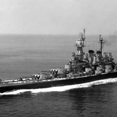
USS North Carolina
59.3 km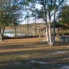
Jones Lake State Park
40.6 km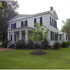
Liberty Hall
33.4 km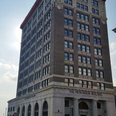
Murchison Building
59.3 km
Singletary Lake State Park
27.8 km
Harmony Hall
50 km
Lake Waccamaw State Park
57.8 km
Oakland Plantation
33.8 km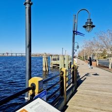
Wilmington Riverwalk
59.2 km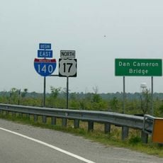
Dan Cameron Bridge
52.6 km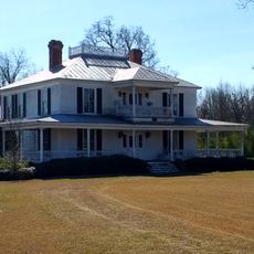
Joshua James Blanchard House
27.8 km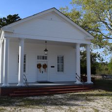
Mt. Horeb Presbyterian Church and Cemetery
33.1 km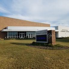
Joe and Barbara Schwartz Center
58.9 km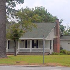
John Hector Clark House
49.6 km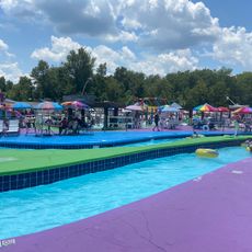
White Lake Water Park
30.8 km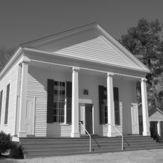
Black River Presbyterian and Ivanhoe Baptist Churches
14.5 km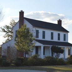
Black Rock Plantation House
41.7 km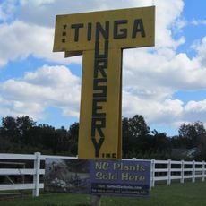
Tinga Nursery
54.4 km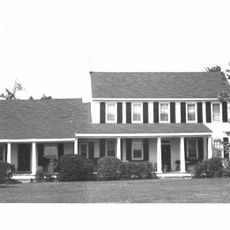
Maxwell House
57.9 km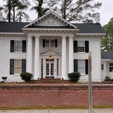
Southerland-Burnette House
53.5 km
Gen. Thomas Boykin House
30.4 km
Graves-Stewart House
31.3 km
John Wesley Mallard House
42.6 km
Robert Herring House
32.3 km
Carter-Simmons House
54.6 km
Francis Pugh House
32.6 km
Trinity Methodist Church
38.6 km
Bladen County Training School
40.2 kmReviews
Visited this place? Tap the stars to rate it and share your experience / photos with the community! Try now! You can cancel it anytime.
Discover hidden gems everywhere you go!
From secret cafés to breathtaking viewpoints, skip the crowded tourist spots and find places that match your style. Our app makes it easy with voice search, smart filtering, route optimization, and insider tips from travelers worldwide. Download now for the complete mobile experience.

A unique approach to discovering new places❞
— Le Figaro
All the places worth exploring❞
— France Info
A tailor-made excursion in just a few clicks❞
— 20 Minutes