Sampson County

Log in to your account

AroundUs is a community-driven map of interesting places, built by curious explorers like you. It grows with every review, story, and photo you share.
Connect to save your favorite spots, contribute locations, and create personalized routes.
Continue with Google
Continue with Apple
Continue with X
Continue with Facebook
Continue with email
By continuing, you accept our Terms and Conditions and our Privacy Policy
Create an account
Add to collection
Map
Suggest a change
Share

Sampson County, County in southeastern North Carolina, US

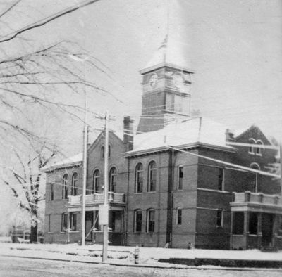
Sampson County is an administrative division in southeastern North Carolina with Clinton as its county seat and principal town. The county spreads across flat, fertile farmland dotted with smaller communities and rural areas.

The county was established in 1784 when the North Carolina General Assembly separated it from Duplin County following the American Revolutionary War. This creation reflected the state's effort to organize newly independent territories.

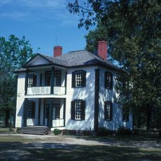
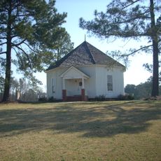
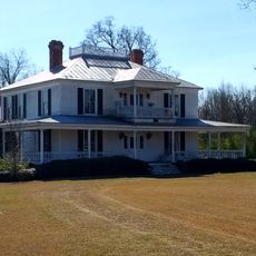
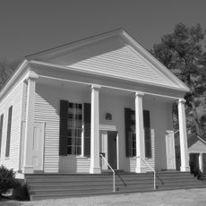
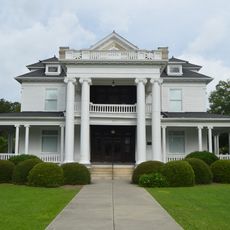
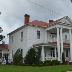
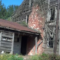
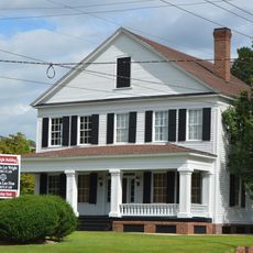
The area reflects its Scots-Irish heritage through place names, building styles, and local customs that remain visible in daily community life. This legacy shapes how residents maintain their towns and neighborhoods.

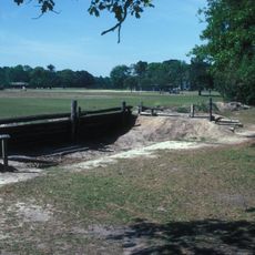
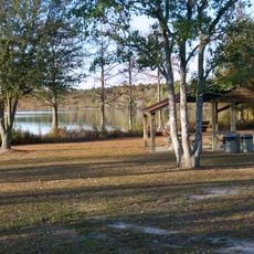
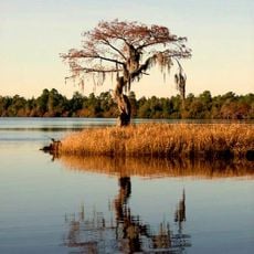
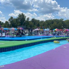
Visitors can access various public parks and recreational areas throughout the county that are open year-round. The Sampson Community College hosts cultural events and public programs that offer insight into local life and activities.

The county is known for large-scale agricultural operations that dominate much of its economic activity and landscape. This farming tradition has shaped local infrastructure, employment, and the character of rural communities throughout the territory.

Location: North Carolina

Inception: 1784

Capital city: Clinton

Shares border with: Johnston County, Wayne County, Duplin County, Pender County, Bladen County, Cumberland County, Harnett County

Website: http://sampsonnc.com

GPS coordinates: 34.99000,-78.37000

Latest update: December 13, 2025 16:46

Photos
Around this place
Bentonville Battlefield
United States of America

Bentonville Battlefield

35.5 km
Jones Lake State Park
United States of America

Jones Lake State Park

40 km
Singletary Lake State Park
United States of America

Singletary Lake State Park

44.3 km
Harper House
United States of America

Harper House

34.8 km
Falcon Tabernacle
United States of America

Falcon Tabernacle

34 km
United States of America

Turnbull Creek Educational State Forest

39.3 km
Joshua James Blanchard House
United States of America

Joshua James Blanchard House

20.1 km
United States of America

Averasboro Battlefield Historic District

39.8 km
United States of America

Lebanon

40.7 km
Dell School Campus
United States of America

Dell School Campus

25.3 km
White Lake Water Park
United States of America

White Lake Water Park

40.5 km
Black River Presbyterian and Ivanhoe Baptist Churches
United States of America

Black River Presbyterian and Ivanhoe Baptist Churches

44.6 km
Kenneth L. Howard House
United States of America

Kenneth L. Howard House

41.8 km
United States of America

Harnett County Training School

41.5 km
United States of America

Faison Cemetery

25.8 km
John A. McKay House and Manufacturing Company
United States of America

John A. McKay House and Manufacturing Company

41.5 km
United States of America

Thomas Bullard House

18 km
United States of America

Gen. William C. Lee House

41.7 km
Gen. Thomas Boykin House
United States of America

Gen. Thomas Boykin House

3.1 km
United States of America

Bryan Whitfield Herring Farm

29.6 km
United States of America

Patrick-Carr-Herring House

4 km
United States of America

South River Presbyterian Church

29.1 km
Graves-Stewart House
United States of America

Graves-Stewart House

4.6 km
United States of America

Troy Herring House

13.9 km
United States of America

Samuel Johnson House and Cemetery

19.4 km
United States of America

John E. Wilson House

32.6 km
United States of America

Royal-Crumpler-Parker House

3.6 km
United States of America

College Street Historic District

5.2 km
Show the full map
Reviews

Visited this place? Tap the stars to rate it and share your experience / photos with the community! Try now! You can cancel it anytime.

Administrative divisions
« Sampson County - County in southeastern North Carolina, US » is provided by Around Us (aroundus.com). Images and texts are derived from Wikimedia project under a Creative Commons license. You are allowed to copy, distribute, and modify copies of this page, under the conditions set by the license, as long as this note is clearly visible.

Discover hidden gems everywhere you go!

From secret cafés to breathtaking viewpoints, skip the crowded tourist spots and find places that match your style. Our app makes it easy with voice search, smart filtering, route optimization, and insider tips from travelers worldwide. Download now for the complete mobile experience.

Around Us App Screenshot

A unique approach to discovering new places

Le Figaro

All the places worth exploring

France Info

A tailor-made excursion in just a few clicks

20 Minutes