Clinton, city in North Carolina
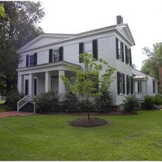
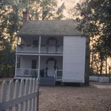
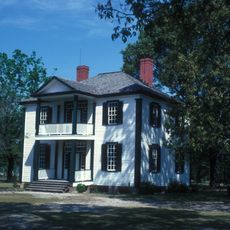
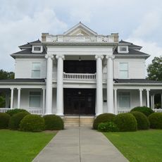
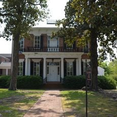
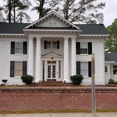
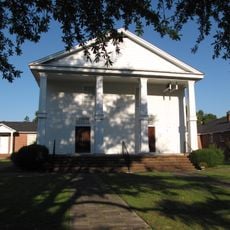
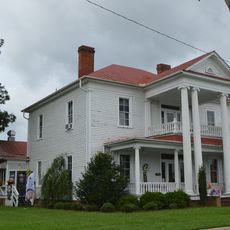
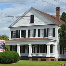
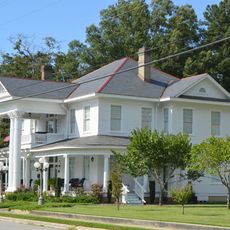
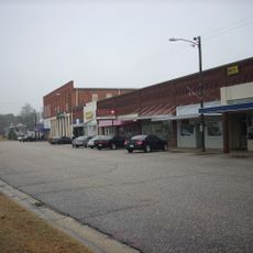
Clinton is a small town in Sampson County in southeastern North Carolina with roots in farming and agriculture. The downtown area features buildings from the early 1900s that were rebuilt after a major fire in 1902, now holding more than 180 businesses including shops, cafes, and restaurants mixed together with preserved historic structures.
Clinton was founded in the late 1700s and grew slowly as a service center for farming communities in the surrounding area. A major fire in 1902 destroyed much of the downtown commercial district, after which brick buildings were reconstructed and have remained standing to the present day.
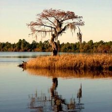
Clinton grew as a center for farming and trade, and this heritage remains visible in how residents live and what they value today. The community organizes events throughout the year, such as Ag Day in March and Bloomfest in spring and summer, which celebrate agricultural roots and bring people together.
Clinton is easy to explore on foot since buildings are close together and the town layout is straightforward. Visitors should plan to explore downtown on weekends or during local events when cafes and shops are busier and the streets feel more active.
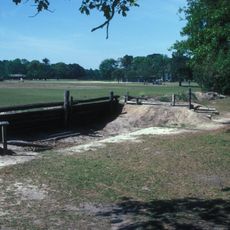
The glass art piece called 'Milling Around' on Main Street commemorates the water-powered mills that once processed grain, nuts, and corn throughout Sampson County. This sculpture reminds visitors of an industry that was central to the area's economic growth and prosperity.
The community of curious travelers
AroundUs brings together thousands of curated places, local tips, and hidden gems, enriched daily by 60,000 contributors worldwide.