Franklinville, town in North Carolina
Location: Randolph County
Elevation above the sea: 146 m
Website: http://townoffranklinvillenc.org
GPS coordinates: 35.74440,-79.69170
Latest update: April 23, 2025 06:47

North Carolina Zoo
14.4 km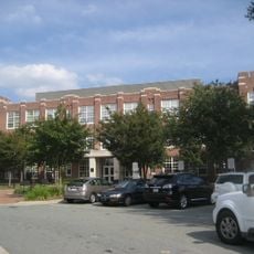
James B. Dudley High School
35.7 km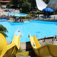
Wet 'n Wild Emerald Pointe
32.2 km
Alamance Battleground
33.5 km
Pisgah Covered Bridge
29 km
North Carolina Aviation Museum
21.1 km
Hagan Stone Park
23.6 km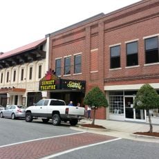
Sunset Theater
12.1 km
Cedarock Park
36 km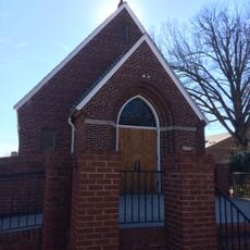
St. Mary Catholic Church
36.4 km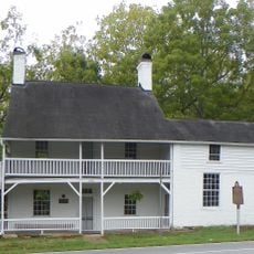
Richard Mendenhall Plantation Buildings
36.1 km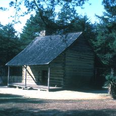
Allen House
33.3 km
Oakdale Cotton Mill Village
34 km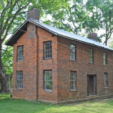
Wilson Kindley Farm and Kindley Mine
25.2 km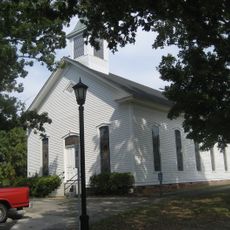
Tabernacle Methodist Protestant Church and Cemetery
24.6 km
Cedarock Park Historic District
35 km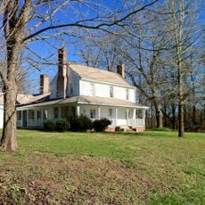
Marley House
12.7 km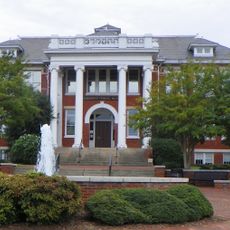
Former Jamestown High School
35.6 km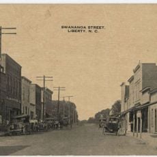
Liberty Historic District
16.5 km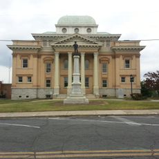
Randolph County Courthouse
11.8 km
Moses Hammond House
31.8 km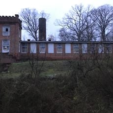
Coleridge Historic District
13.5 km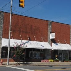
Siler City Commercial Historic District
20.7 km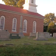
St. Paul's Methodist Episcopal Church South
13.7 km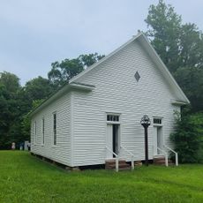
Mount Ebal Methodist Protestant Church
36.5 km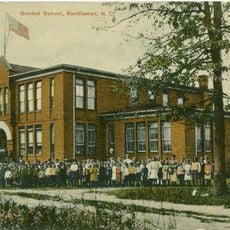
Randleman Graded School
13.2 km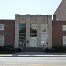
Guilford County Office and Court Building
36.7 km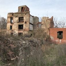
Franklinville Historic District
25.2 kmVisited this place? Tap the stars to rate it and share your experience / photos with the community! Try now! You can cancel it anytime.
Discover hidden gems everywhere you go!
From secret cafés to breathtaking viewpoints, skip the crowded tourist spots and find places that match your style. Our app makes it easy with voice search, smart filtering, route optimization, and insider tips from travelers worldwide. Download now for the complete mobile experience.

A unique approach to discovering new places❞
— Le Figaro
All the places worth exploring❞
— France Info
A tailor-made excursion in just a few clicks❞
— 20 Minutes