Chest opened
+${chestReward.xp} XP
Explorer
NOUVEAU ×${chestReward.collectible.quantity}
tapez pour fermer
Chest locked

Open chests in the app

Around Us is built for your phone — chests unlock when you walk, explore and capture nearby places.

Enable Location

We need your location to show you interesting places around you

Discover nearby places

Find interesting locations and hidden gems around you

Precise directions

Get accurate directions and distances to places

Your location is never shared with other users. It's only used when you tap the location button.

Creedmoor

Log in to your account

Start exploring — it's free

Trusted by 72,880 travelers worldwide

Continue with Google
Continue with Apple
or

We will send you a code to connect

By continuing, you accept our Terms and Conditions and our Privacy Policy

Check your inbox

We've sent a pincode in your inbox. Please enter the code below.

Discussion Reviews 1 Photos
13.3k Popularity

Creedmoor, Administrative division in Granville County, North Carolina, United States.

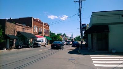
Creedmoor is an administrative division in southern Granville County, North Carolina, located along U.S. Route 15 and North Carolina Highway 56. These roads connect the area to surrounding municipalities.

The founding of Creedmoor in 1885 came from a petition by 25 local taxpayers supporting the Oxford and Clarksville Railroad Company. The settlement grew around a railroad depot.

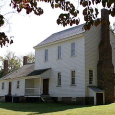
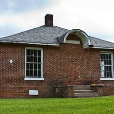
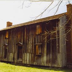
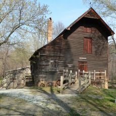
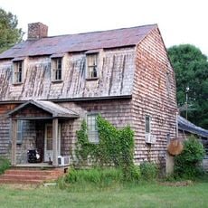
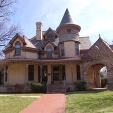
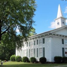
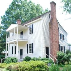
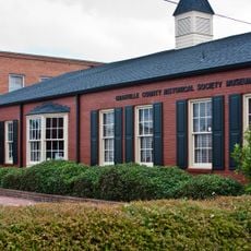
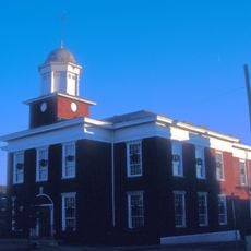
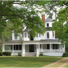
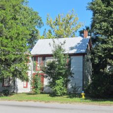
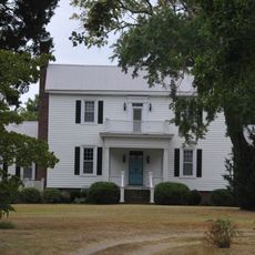
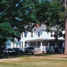
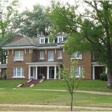
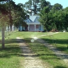
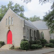
Several historic buildings shape the appearance of the town, including the Cannady-Brogden Farm and the James Mangum House, which are listed on the national register. These structures reflect the architectural heritage that visitors can see while walking through the area.

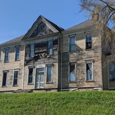
The area has several schools, including South Granville High School and G.C. Hawley Middle School, serving the local student population. Visitors will find important educational institutions and community services throughout the town.

The economy of Creedmoor underwent a remarkable shift, moving its focus from tobacco trading to mule trading as its main business. At its peak as a trading center, the town received about forty train car loads of mules each year.

The community of curious travelers

AroundUs brings together thousands of curated places, local tips, and hidden gems, enriched daily by 60,000 contributors worldwide.

Start exploring
GPS coordinates
36.12274,-78.68623
Latest update
December 7, 2025 20:40
Around this place
Falls Lake
United States of America

Falls Lake

12.1 km
Museum of Life and Science
United States of America

Museum of Life and Science

21.7 km
Stagville
United States of America

Stagville

13.6 km
Falls Lake State Recreation Area
United States of America

Falls Lake State Recreation Area

11.8 km
West Point on the Eno
United States of America

West Point on the Eno

20.9 km
Central Children's Home of North Carolina
United States of America

Central Children's Home of North Carolina

21.5 km
St. Catherine of Siena Catholic Church
United States of America

St. Catherine of Siena Catholic Church

22 km
Horton Grove
United States of America

Horton Grove

13.8 km
Triangle Metro Zoo
United States of America

Triangle Metro Zoo

21.1 km
West Point Mill
United States of America

West Point Mill

20.9 km
Sterling Cotton Mill
United States of America

Sterling Cotton Mill

20.8 km
Shemuel Kearney House
United States of America

Shemuel Kearney House

19.1 km
Josiah Crudup House
United States of America

Josiah Crudup House

22.5 km
James Mangum House
United States of America

James Mangum House

11.2 km
Capehart House
United States of America

Capehart House

22.9 km
Forestville Baptist Church
United States of America

Forestville Baptist Church

23.5 km
Dr. Calvin Jones House
United States of America

Dr. Calvin Jones House

22.3 km
Oxford Historic District
United States of America

Oxford Historic District

22.7 km
Granville County Courthouse
United States of America

Granville County Courthouse

22.8 km
Dr. J. H. Harris House
United States of America

Dr. J. H. Harris House

21.2 km
Purefoy-Chappell House and Outbuildings
United States of America

Purefoy-Chappell House and Outbuildings

23.4 km
Thorndale
United States of America

Thorndale

21.3 km
Cozart-Coley House
United States of America

Cozart-Coley House

8.7 km
Aldridge H. Vann House
United States of America

Aldridge H. Vann House

20.8 km
First National Bank Building
United States of America

First National Bank Building

430 m
Joseph B. Littlejohn House
United States of America

Joseph B. Littlejohn House

23.1 km
Thomas Capehart House
United States of America

Thomas Capehart House

23 km
West Durham Historic District
United States of America

West Durham Historic District

22.2 km
Show the full map
Reviews
Share your experience

No review yet

Discussions
Start a discussion...

No discussion yet

« Creedmoor - Administrative division in Granville County, North Carolina, United States » is provided by Around Us (aroundus.com). Images and texts are derived from Wikimedia project under a Creative Commons license. You are allowed to copy, distribute, and modify copies of this page, under the conditions set by the license, as long as this note is clearly visible.

Discover hidden gems everywhere you go!

From secret cafés to breathtaking viewpoints, skip the crowded tourist spots and find places that match your style. Our app makes it easy with voice search, smart filtering, route optimization, and insider tips from travelers worldwide. Download now for the complete mobile experience.

Around Us App Screenshot

A unique approach to discovering new places

Le Figaro

All the places worth exploring

France Info

A tailor-made excursion in just a few clicks

20 Minutes

Around Us
Travel Guide & Maps
Download

Send to your phone

QR Code
1

Open the camera app on your mobile.

2

Point at the QR code with your camera. A notification will appear.

3

Tap the notification to open the link.