
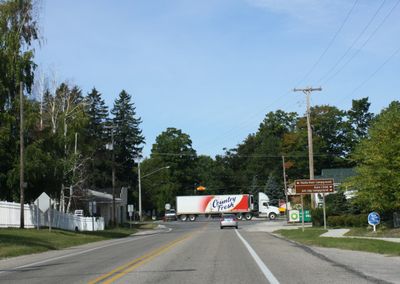
Empire, human settlement in Leelanau County, Michigan, United States of America
Location: Leelanau County
Inception: 1895
Elevation above the sea: 186 m
GPS coordinates: 44.81111,-86.06000
Latest update: March 9, 2025 06:40
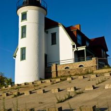
Point Betsie Light
20.4 km
Glen Haven, Michigan
10 km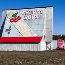
Cherry Bowl Drive-In Theatre & Diner
16 km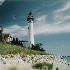
South Manitou Island Lighthouse
22 km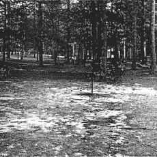
Platte River Campground Site
11.4 km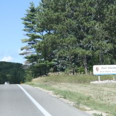
Port Oneida Rural Historic District
11.8 km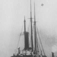
SS Jarvis Lord
17.8 km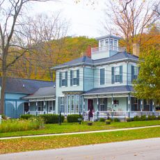
Frankfort Land Company House
24.2 km
Gwen Frostic Studio
22.3 km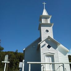
Saint Joseph's Catholic Church
16.7 km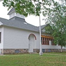
Empire School
94 m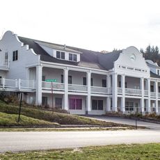
Benzie County Courthouse
20.6 km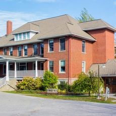
Mills Community House
21.6 km
George Conrad Hutzler Farm
24.1 km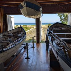
Boathouse #2
11 km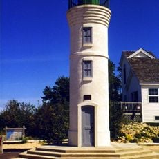
Manning Memorial Light
669 m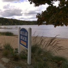
Beulah Beach
20.5 km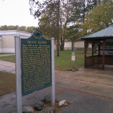
Pacific Salmon Historical Marker
19.2 km
Benzonia Congregational Church Historical Marker
21.8 km
Benzonia College Historical Marker
21.5 km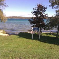
Fair Park
20.6 km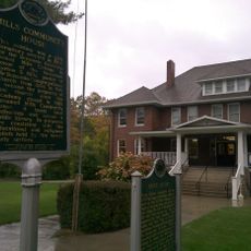
Mills Community House Historical Marker
21.6 km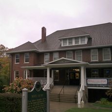
Benzonia Public Library
21.7 km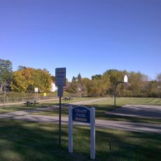
Trapp Park
20.5 km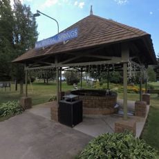
Mineral Springs fountain
24.3 km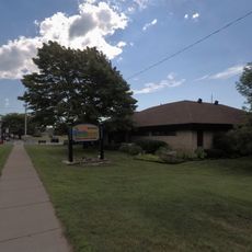
Benzie Shores District Library
24.3 km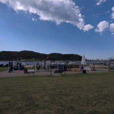
Mineral Springs Municipal Park
24.3 km
Darcy Library Of Beulah
20.5 kmVisited this place? Tap the stars to rate it and share your experience / photos with the community! Try now! You can cancel it anytime.
Discover hidden gems everywhere you go!
From secret cafés to breathtaking viewpoints, skip the crowded tourist spots and find places that match your style. Our app makes it easy with voice search, smart filtering, route optimization, and insider tips from travelers worldwide. Download now for the complete mobile experience.

A unique approach to discovering new places❞
— Le Figaro
All the places worth exploring❞
— France Info
A tailor-made excursion in just a few clicks❞
— 20 Minutes