Dunlap, city in Tennessee, USA
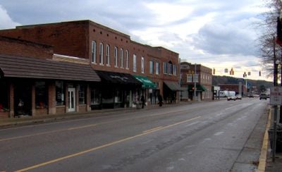
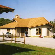
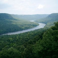
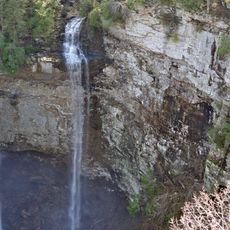
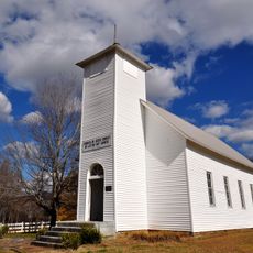
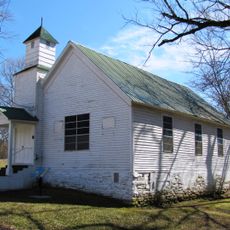
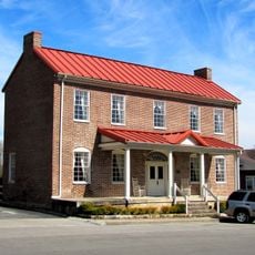
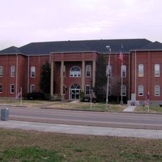
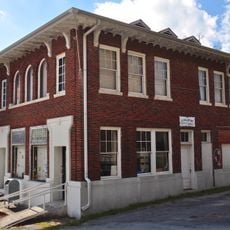
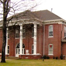
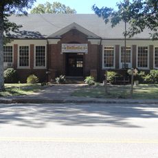
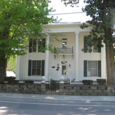
Dunlap is a small city in Sequatchie County, Tennessee, sitting in the middle of Sequatchie Valley between forested ridges. Its downtown is compact, with a main street lined by older brick buildings, local shops, and a courthouse that anchors the center of town.
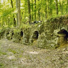
The settlement grew around Coops Creek and was renamed Dunlap when Sequatchie County was formed in 1858. Coal mining became the main driver of growth in the late 1800s and shaped much of what the town looked like for decades.
The town carries the name of a local figure from the mid-1800s, replacing its earlier identity as Coops Creek. In the small downtown, local diners and cafes still draw regulars and visitors together in a way that feels rooted in the community's working-class past.
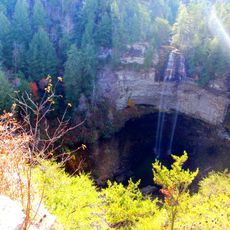
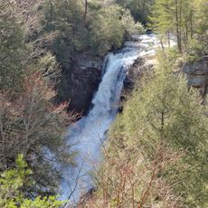
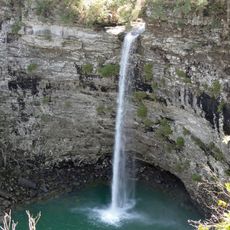
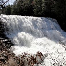
The downtown is easy to walk through, as most of the main buildings and shops are along a single stretch of road. If you plan to visit nearby parks or trails, a car makes it easier to reach the surrounding valley and ridgelines.
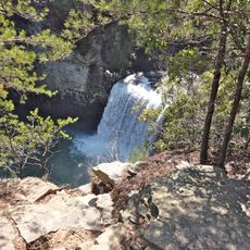
Dunlap is widely known as the hang-gliding capital of the eastern US, drawing pilots who launch year-round from the high cliffs above the valley. A local school based here offers lessons for beginners wanting to try the sport.
The community of curious travelers
AroundUs brings together thousands of curated places, local tips, and hidden gems, enriched daily by 60,000 contributors worldwide.