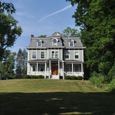
Salisbury, Historical town in Northwest Hills, Connecticut.
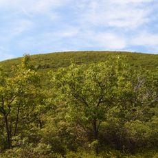
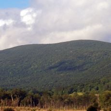
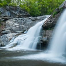
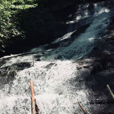
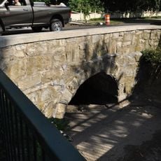
Salisbury is a town in Litchfield County situated at roughly 700 feet (213 meters) elevation with multiple lakes and ponds dotting its landscape. The terrain features extensive natural areas that shape how the place feels when walking through it.
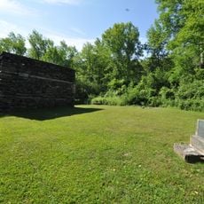
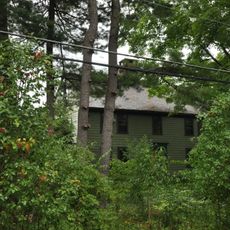
The town was established in 1741 and became a center for iron production that thrived through the early 1900s. This industry made the place known for manufacturing high-quality materials used in weapons and railroad equipment.
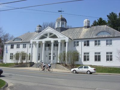
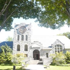
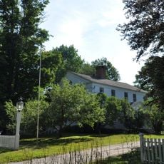
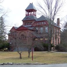
The Scoville Library represents a turning point in American education, being the first freely accessible public library in the country. Visitors walking through town can appreciate how this institution still defines the character of the place.
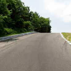
The Appalachian Trail passes through town offering extended hiking routes and access to Mount Riga State Park for outdoor activities. Bring proper footwear and prepare for changes in elevation, as trails can shift from gentle to steeper sections.
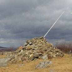
At the northwestern corner sits a marker showing exactly where Connecticut, Massachusetts, and New York meet at a single point. This modest monument is often overlooked by travelers even though it sits relatively accessible on the landscape.
The community of curious travelers
AroundUs brings together thousands of curated places, local tips, and hidden gems, enriched daily by 60,000 contributors worldwide.