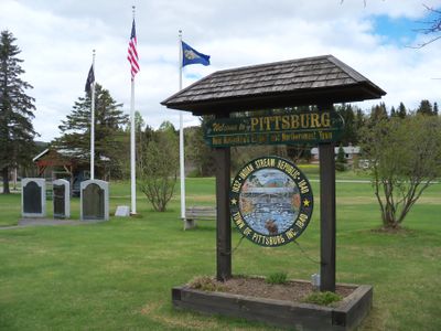
Pittsburg, Incorporated town in Coös County, New Hampshire, United States
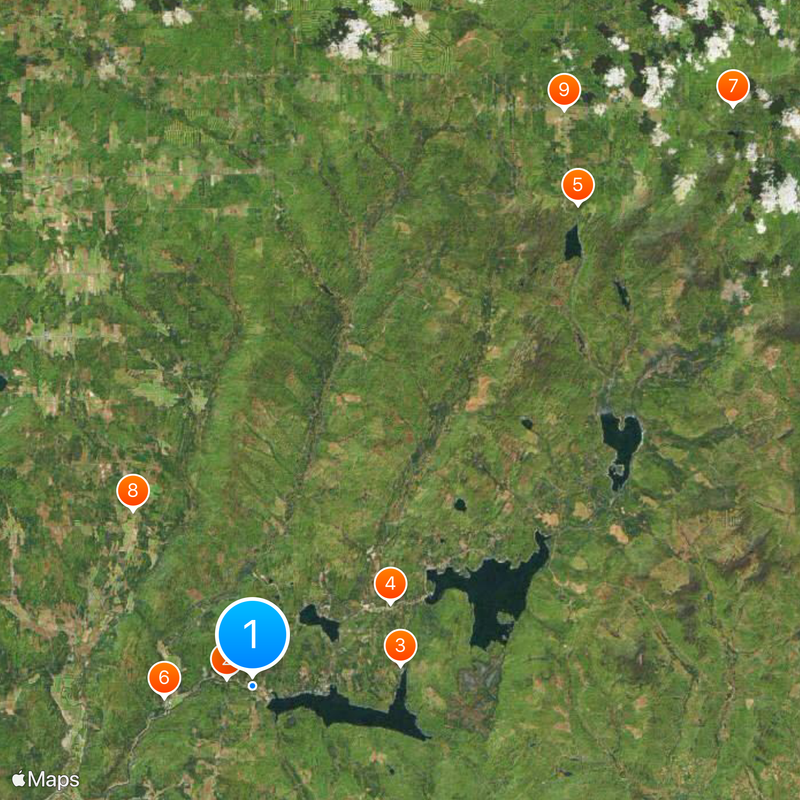
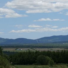
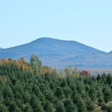
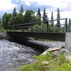
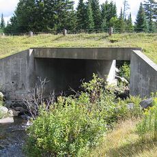
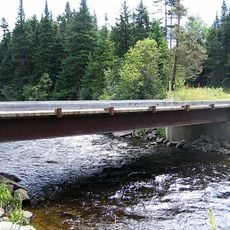
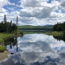
Pittsburg is the northernmost town in New Hampshire and covers a large area of forested land with several lakes. The region sits at an elevation around 400 meters and features dense woodlands and waterways that define its landscape.
The area operated as an independent republic between 1832 and 1835 due to border disputes between the United States and Canada. This period ended when boundaries were settled through diplomatic negotiations.
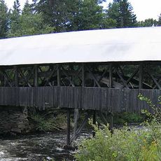
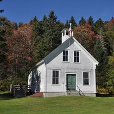
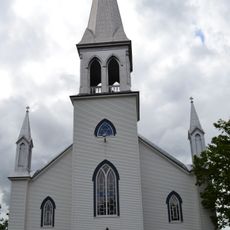
The Indian Stream Schoolhouse from 1897 and the town hall from 1883 stand as preserved structures representing early New Hampshire architecture.
U.S. Route 3 runs through the town and connects it with neighboring states and Canadian provinces. This road serves as the main transportation link for visitors exploring the northern regions.
The Connecticut Lakes within the town mark the starting point of the Connecticut River, which flows through four additional states. These lakes form the source of one of the region's longest rivers.
Location: Coös County
Inception: 1840
Elevation above the sea: 403 m
Website: http://pittsburg-nh.com
GPS coordinates: 45.05111,-71.39139
Latest update: December 7, 2025 09:25
Dixville Notch State Park
22.4 km
Pittsburg–Clarksville Covered Bridge
1.3 km
Coleman State Park
13 km
Beaver Brook Falls Wayside
15.7 km
Mount Kelsey
28.5 km
Columbia Bridge
25.4 km
Bennett-Bean Covered Bridge
31.4 km
Montagne des Lignes
27.2 km
Saint-Isidore-d'Auckland
25.8 km
Indian Stream Schoolhouse
4.2 km
Alice M. Ward Library
13.2 km
Wallace Farm
23.2 km
Benjamin Aldrich Homestead
15.2 km
Église Saint-Herménégilde de Saint-Herménégilde
23.1 km
Site du patrimoine de l'église de Saint-Venant-de-Paquette
10 km
Site du patrimoine du canton de Sainte-Edwidge-de-Clifton
28.5 km
Église de Saint-Venant-de-Paquette
10.1 km
Forest Access Road bridge over the Connecticut River
7.4 km
Croix de chemin Scalabrini
29 km
U.S. Route 3 Bridge over the Connecticut River
22.1 km
Scott Brook Road bridge over the Connecticut River
22.2 km
Magalloway Road Bridge over the Connecticut River
16.2 km
Stanhope border crossing
31.7 km
Croix de chemin Lemire
28.8 km
Croix de chemin du Village de Saint-Edwidge
28.4 km
Croix de chemin paroissiale
30.7 km
MEC Connecticut River Bridge
12.3 km
Second Connecticut Lake
20.7 kmVisited this place? Tap the stars to rate it and share your experience / photos with the community! Try now! You can cancel it anytime.
Discover hidden gems everywhere you go!
From secret cafés to breathtaking viewpoints, skip the crowded tourist spots and find places that match your style. Our app makes it easy with voice search, smart filtering, route optimization, and insider tips from travelers worldwide. Download now for the complete mobile experience.
A unique approach to discovering new places❞
— Le Figaro
All the places worth exploring❞
— France Info
A tailor-made excursion in just a few clicks❞
— 20 Minutes