Chest opened
+${chestReward.xp} XP
Explorer
NOUVEAU ×${chestReward.collectible.quantity}
tapez pour fermer
Chest locked

Open chests in the app

Around Us is built for your phone — chests unlock when you walk, explore and capture nearby places.

Enable Location

We need your location to show you interesting places around you

Discover nearby places

Find interesting locations and hidden gems around you

Precise directions

Get accurate directions and distances to places

Your location is never shared with other users. It's only used when you tap the location button.

Rocky Top

Log in to your account

Start exploring — it's free

Trusted by 72,876 travelers worldwide

Continue with Google
Continue with Apple
or

We will send you a code to connect

By continuing, you accept our Terms and Conditions and our Privacy Policy

Check your inbox

We've sent a pincode in your inbox. Please enter the code below.

Discussion Reviews 1 Photos
40.4k Popularity

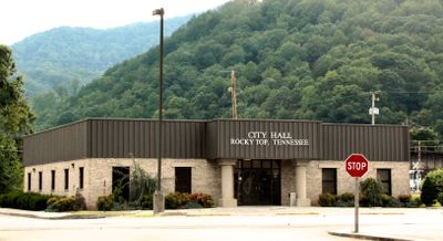
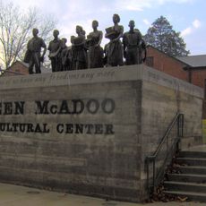
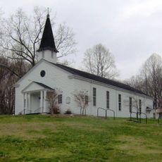
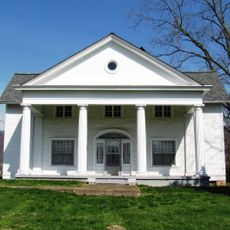
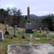
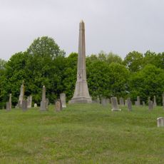
Rocky Top, Administrative division in Anderson County, Tennessee, United States

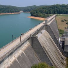
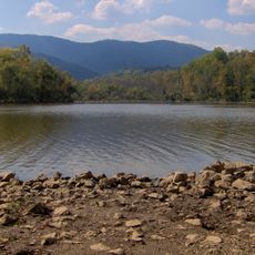
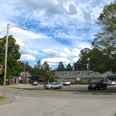
Rocky Top is a city in Anderson and Campbell County in eastern Tennessee, situated within the Appalachian mountain region. The landscape features rolling hills and mountain ridges typical of this part of the state.

The city was originally called Lake City before being renamed Rocky Top in 2014. This change honored the well-known university fight song that brought the name to wider recognition.

The name Rocky Top comes from the University of Tennessee fight song written in 1967, which remains deeply connected to local identity today. This musical link ties the place to the bluegrass and country music traditions that run through the Appalachian region.

The city sits where Interstate 75 and US Route 441 meet, offering convenient road access to nearby larger towns like Knoxville. This central location makes it straightforward to reach by car and to explore the surrounding area.

The area was a center of coal mining in the 1800s, driven by the Coal Creek Mining and Manufacturing Company that started operations here. This mining heritage still shapes the character and history of the place today.

The community of curious travelers

AroundUs brings together thousands of curated places, local tips, and hidden gems, enriched daily by 60,000 contributors worldwide.

Start exploring
Location
Location
Inception
1856
Elevation above the sea
264 m
GPS coordinates
36.22417,-84.15583
Latest update
December 20, 2025 11:18
Around this place
Norris Dam
United States of America

Norris Dam

5.8 km
Museum of Appalachia
United States of America

Museum of Appalachia

9.2 km
Norris Dam State Park
United States of America

Norris Dam State Park

4.5 km
Big Ridge State Park
United States of America

Big Ridge State Park

21.3 km
Cove Lake State Park
United States of America

Cove Lake State Park

10.7 km
Green McAdoo School
United States of America

Green McAdoo School

13.6 km
United Church, The Chapel on the Hill
United States of America

United Church, The Chapel on the Hill

22.9 km
Alexander Inn
United States of America

Alexander Inn

23.1 km
LaFollette House
United States of America

LaFollette House

18.1 km
Alexander Bishop House
United States of America

Alexander Bishop House

23.1 km
Daugherty Furniture Building
United States of America

Daugherty Furniture Building

13.7 km
Kincaid-Howard House
United States of America

Kincaid-Howard House

22.6 km
Luther Brannon House
United States of America

Luther Brannon House

20.6 km
A.E. Perkins House
United States of America

A.E. Perkins House

12.2 km
United States of America

Edwards-Fowler House

5.9 km
United States of America

Green McAdoo Cultural Center

13.6 km
United States of America

Lost Bottom Park

17.9 km
Cross Mountain Miners' Circle
United States of America

Cross Mountain Miners' Circle

5.3 km
Fraterville Miners' Circle Cemetery
United States of America

Fraterville Miners' Circle Cemetery

2 km
United States of America

Longmire Bluff

19.6 km
United States of America

River Ridge

6.5 km
Norris Dam State Park Rustic Cabins Historic District
United States of America

Norris Dam State Park Rustic Cabins Historic District

6.3 km
Norris District
United States of America

Norris District

8.3 km
United States of America

The Greens at Deerfield

19.1 km
United States of America

LaFallotte Country Club

18.5 km
United States of America

Norris Dam Visitor Center

6.1 km
United States of America

Abandoned Train

22 km
United States of America

Big Ridge Park Amphitheatre

20.5 km
Show the full map
Reviews
Share your experience

No review yet

Discussions
Start a discussion...

No discussion yet

« Rocky Top - Administrative division in Anderson County, Tennessee, United States » is provided by Around Us (aroundus.com). Images and texts are derived from Wikimedia project under a Creative Commons license. You are allowed to copy, distribute, and modify copies of this page, under the conditions set by the license, as long as this note is clearly visible.

Discover hidden gems everywhere you go!

From secret cafés to breathtaking viewpoints, skip the crowded tourist spots and find places that match your style. Our app makes it easy with voice search, smart filtering, route optimization, and insider tips from travelers worldwide. Download now for the complete mobile experience.

Around Us App Screenshot

A unique approach to discovering new places

Le Figaro

All the places worth exploring

France Info

A tailor-made excursion in just a few clicks

20 Minutes

Around Us
Travel Guide & Maps
Download

Send to your phone

QR Code
1

Open the camera app on your mobile.

2

Point at the QR code with your camera. A notification will appear.

3

Tap the notification to open the link.