Chest opened
+${chestReward.xp} XP
Explorer
NOUVEAU ×${chestReward.collectible.quantity}
tapez pour fermer

See the monuments around you in AR Open chests in the app

Around Us is built for your phone — point your camera at the streets and discover the monuments and places around you in augmented reality. Around Us is built for your phone — chests unlock when you walk, explore and capture nearby places.

Enable Location

We need your location to show you interesting places around you

Discover nearby places

Find interesting locations and hidden gems around you

Precise directions

Get accurate directions and distances to places

Your location is never shared with other users. It's only used when you tap the location button.

Log in to your account

Start exploring — it's free

Trusted by 81,375 travelers worldwide

Continue with Google
Continue with Apple
or

We will send you a code to connect

By continuing, you accept our Terms and Conditions and our Privacy Policy

Check your inbox

We've sent a pincode in your inbox. Please enter the code below.

Discussion Reviews Photo
2k Popularity

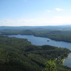
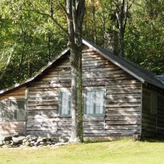
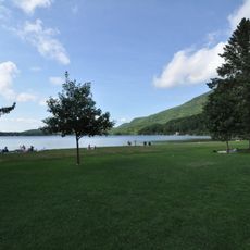
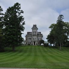
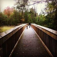
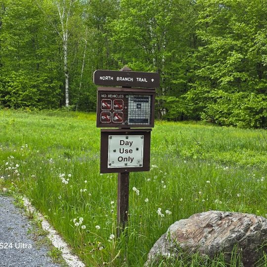
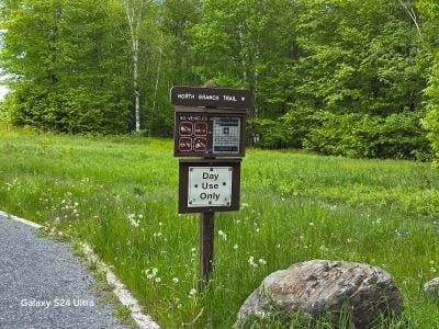
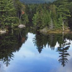
Moosalamoo National Recreation Area, Nature reserve in Middlebury, United States.

Moosalamoo National Recreation Area is a protected forest spanning 16,000 acres with around 70 miles of maintained trails through varied terrain. The landscape includes forested valleys, open ridgelines, and mixed woodlands that change with elevation.

The U.S. Forest Service established this area as a protected zone within the Green Mountain National Forest to preserve its natural resources. This designation came from efforts to safeguard the forest for future generations.

The name Moosalamoo comes from the Abenaki people who lived throughout this region of Vermont before European arrival. Walking through these forests, you can sense the long indigenous presence woven into the landscape itself.

The area offers 19 campsites with picnic tables and fire rings, plus basic facilities like hand pump water and vault toilets scattered throughout. Bring a map and sturdy footwear since trails vary widely in difficulty and length.

Several trails here lead to overlooks that offer views across multiple mountain ridges on clear days. These high vantage points reveal the layered landscape typical of New England geography.

The community of curious travelers

AroundUs brings together thousands of curated places, local tips, and hidden gems, enriched daily by 60,000 contributors worldwide.
Start exploring
Location
Operator
United States Forest Service
GPS coordinates
43.90843,-73.03492
Latest update
August 4, 2026 13:47
Around this place
Green Mountain National Forest
United States of America

Green Mountain National Forest

54.3 km
Lake Dunmore
United States of America

Lake Dunmore

3.3 km
Robert Frost Farm
United States of America

Robert Frost Farm

6.9 km
Branbury State Park
United States of America

Branbury State Park

2.5 km
Shard Villa
United States of America

Shard Villa

10.1 km
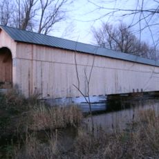
Cedar Swamp Covered Bridge
United States of America

Cedar Swamp Covered Bridge

11.2 km
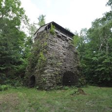
Forest Dale Iron Furnace
United States of America

Forest Dale Iron Furnace

8.6 km
United States of America

Joseph Battell Wilderness

5.6 km
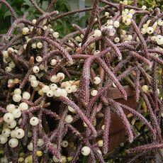
Vermont Experimental Cold-Hardy Cactus Garden
United States of America

Vermont Experimental Cold-Hardy Cactus Garden

11.2 km
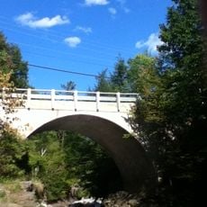
Middlebury Gorge Concrete Arch Bridge
United States of America

Middlebury Gorge Concrete Arch Bridge

8 km
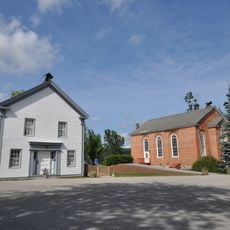
Salisbury Town Hall
United States of America

Salisbury Town Hall

5.6 km
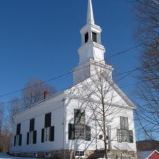
Salisbury Congregational Church
United States of America

Salisbury Congregational Church

5.6 km
Ruth Stone House
United States of America

Ruth Stone House

6.8 km
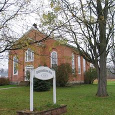
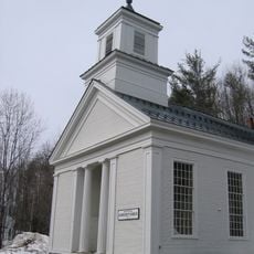
Leicester Meeting House
United States of America

Leicester Meeting House

7.5 km
Fenn Farm
United States of America

Fenn Farm

9.7 km
Ripton Community House
United States of America

Ripton Community House

7.4 km
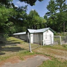
Salisbury Fish Hatchery
United States of America

Salisbury Fish Hatchery

5.3 km
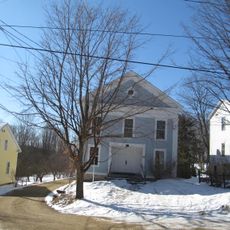
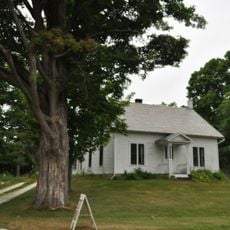
School House and Town Hall
United States of America

School House and Town Hall

7.6 km
Robert Frost Interpretive Area
United States of America

Robert Frost Interpretive Area

5.8 km
United States of America

Queen Connie

6.1 km
United States of America

Scenic viewpoint

3 km
United States of America

Scenic viewpoint

2.6 km
United States of America

Scenic viewpoint

885 m
United States of America

Scenic viewpoint

9.1 km
United States of America

Scenic viewpoint

2.4 km
United States of America

Scenic viewpoint

11.1 km
United States of America

Falls of Lana

2.3 km
United States of America

Texas Falls

11.1 km
Show the full map
Reviews
Share your experience

No review yet

Discussions
Start a discussion...

No discussion yet

« Moosalamoo National Recreation Area - Nature reserve in Middlebury, United States » is provided by Around Us (aroundus.com). Images and texts are derived from Wikimedia project under a Creative Commons license. You are allowed to copy, distribute, and modify copies of this page, under the conditions set by the license, as long as this note is clearly visible.

Discover hidden gems everywhere you go!

From secret cafés to breathtaking viewpoints, skip the crowded tourist spots and find places that match your style. Our app makes it easy with voice search, smart filtering, route optimization, and insider tips from travelers worldwide. Download now for the complete mobile experience.

Around Us App Screenshot

A unique approach to discovering new places

Le Figaro

All the places worth exploring

France Info

A tailor-made excursion in just a few clicks

20 Minutes

Around Us
Travel Guide & Maps
Download

Send to your phone

QR Code
1

Open the camera app on your mobile.

2

Point at the QR code with your camera. A notification will appear.

3

Tap the notification to open the link.