Enable Location

We need your location to show you interesting places around you

Discover nearby places

Find interesting locations and hidden gems around you

Precise directions

Get accurate directions and distances to places

Your location is never shared with other users. It's only used when you tap the location button.

Log in to your account

Start exploring — it's free

Trusted by 64,233 travelers worldwide

Continue with Google
Continue with Apple
or

We will send you a code to connect

By continuing, you accept our Terms and Conditions and our Privacy Policy

Check your inbox

We've sent a pincode in your inbox. Please enter the code below.

Discussion Reviews Photo
17.3k Popularity

Marbletown, town in Ulster County, New York, United States

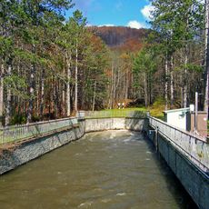
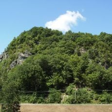
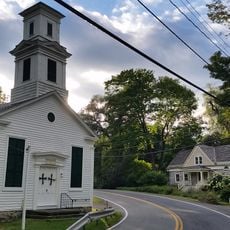
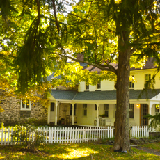
Marbletown is a small town in Ulster County, New York that spreads across a large rural area with open land and houses scattered throughout. The Rondout Creek and Esopus Creek flow through the landscape, creating a peaceful setting.

Settlers arrived around 1638, and the land was officially granted in 1703. The town briefly served as the state capital after Kingston was burned during the wars for independence.

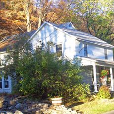
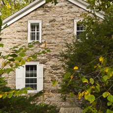
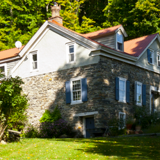
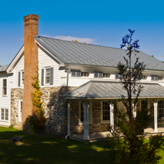
The town's name comes from marble stone that was once quarried here and used in buildings and sculptures. Residents today maintain a strong connection to their rural heritage and the natural landscape that defines community life.

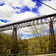
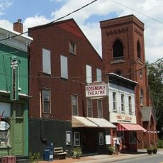
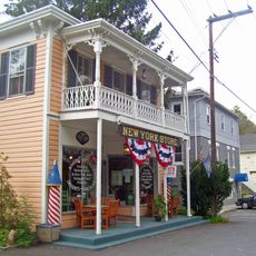
Visitors can hike, fish, or explore nature here, especially during warmer months. The town's small size makes it easy to walk around and discover local shops and community gathering places.

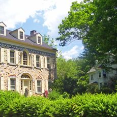
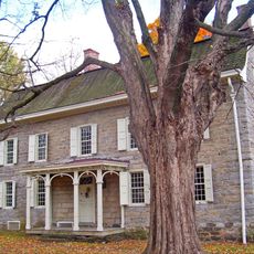
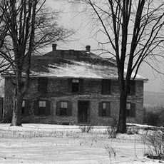
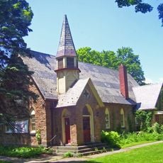
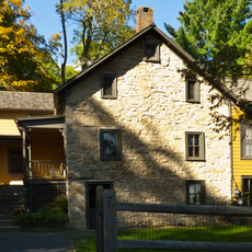
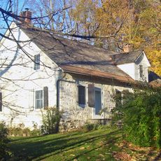
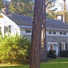
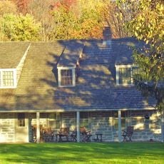
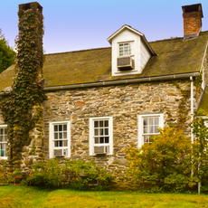
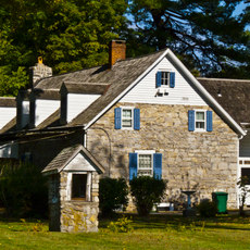
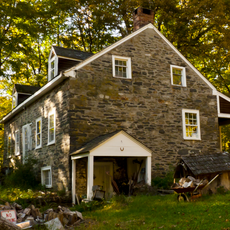
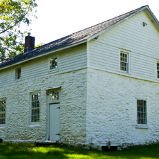
The Bevier Stone House and Mohonk Mountain House are notable buildings that show how people lived in earlier times. These structures reflect the craftsmanship of past generations and serve as tangible reminders of the town's long history.

The community of curious travelers

AroundUs brings together thousands of curated places, local tips, and hidden gems, enriched daily by 60,000 contributors worldwide.

Start exploring
Location
Inception
1669
Elevation above the sea
255 m
GPS coordinates
41.85333,-74.15583
Latest update
February 17, 2026 01:01
Around this place
Catskill Aqueduct
United States of America

Catskill Aqueduct

1.6 km
Rosendale Trestle
United States of America

Rosendale Trestle

5.7 km
Joppenbergh Mountain
United States of America

Joppenbergh Mountain

5.8 km
Snyder Estate Natural Cement Historic District
United States of America

Snyder Estate Natural Cement Historic District

4.9 km
Rosendale Theatre
United States of America

Rosendale Theatre

6.2 km
Cornelius Wynkoop Stone House
United States of America

Cornelius Wynkoop Stone House

1.1 km
High Falls Historic District
United States of America

High Falls Historic District

3.8 km
Main Street Historic District
United States of America

Main Street Historic District

1.1 km
Alligerville Historic District
United States of America

Alligerville Historic District

7.2 km
Binnewater Historic District
United States of America

Binnewater Historic District

5.8 km
Bevier House Museum
United States of America

Bevier House Museum

6 km
Lock Tender's House and Canal Store Ruin
United States of America

Lock Tender's House and Canal Store Ruin

3.9 km
Kripplebush Historic District
United States of America

Kripplebush Historic District

3.2 km
Rosendale Library
United States of America

Rosendale Library

6.7 km
Delaware and Hudson Canal Museum
United States of America

Delaware and Hudson Canal Museum

3.9 km
Johannes Rider Stone House
United States of America

Johannes Rider Stone House

6.4 km
Ephriam DuPuy Stone House
United States of America

Ephriam DuPuy Stone House

6.6 km
Dirck Westbrook Stone House
United States of America

Dirck Westbrook Stone House

7.5 km
Hornbeck Stone House
United States of America

Hornbeck Stone House

6.8 km
Sahler Stone House
United States of America

Sahler Stone House

4.6 km
Jacobus Van Wagenen Stone House
United States of America

Jacobus Van Wagenen Stone House

5.8 km
Krom Stone House at 45 Upper Whitfield Road
United States of America

Krom Stone House at 45 Upper Whitfield Road

6.9 km
Sahler Stone House and Dutch Barn
United States of America

Sahler Stone House and Dutch Barn

4.6 km
Krom Stone House at 31 Upper Whitfield Road
United States of America

Krom Stone House at 31 Upper Whitfield Road

6.6 km
Stilwill-Westbrook Stone House
United States of America

Stilwill-Westbrook Stone House

6.1 km
Jacob F. Markle Stone House
United States of America

Jacob F. Markle Stone House

5.6 km
Stilwell Stone House
United States of America

Stilwell Stone House

5.4 km
Lucas Krom Stone House
United States of America

Lucas Krom Stone House

6.3 km
Show the full map
Reviews
Share your experience

No review yet

Discussions
Start a discussion...

No discussion yet

« Marbletown - town in Ulster County, New York, United States » is provided by Around Us (aroundus.com). Images and texts are derived from Wikimedia project under a Creative Commons license. You are allowed to copy, distribute, and modify copies of this page, under the conditions set by the license, as long as this note is clearly visible.

Discover hidden gems everywhere you go!

From secret cafés to breathtaking viewpoints, skip the crowded tourist spots and find places that match your style. Our app makes it easy with voice search, smart filtering, route optimization, and insider tips from travelers worldwide. Download now for the complete mobile experience.

Around Us App Screenshot

A unique approach to discovering new places

Le Figaro

All the places worth exploring

France Info

A tailor-made excursion in just a few clicks

20 Minutes

Around Us
Travel Guide & Maps
Download

Send to your phone

QR Code
1

Open the camera app on your mobile.

2

Point at the QR code with your camera. A notification will appear.

3

Tap the notification to open the link.