Enable Location

We need your location to show you interesting places around you

Discover nearby places

Find interesting locations and hidden gems around you

Precise directions

Get accurate directions and distances to places

Your location is never shared with other users. It's only used when you tap the location button.

Snyder Estate Natural Cement Historic District

Log in to your account

Start exploring — it's free

Trusted by 62,260 travelers worldwide

Continue with Google
Continue with Apple
or

We will send you a code to connect

By continuing, you accept our Terms and Conditions and our Privacy Policy

Check your inbox

We've sent a pincode in your inbox. Please enter the code below.

Snyder Estate Natural Cement Historic District

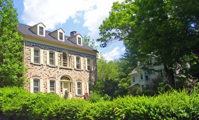
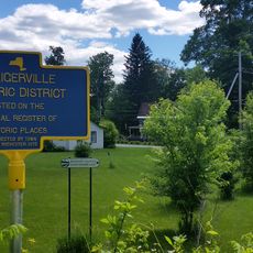
Snyder Estate Natural Cement Historic District, Industrial heritage complex in Rosendale, New York, United States.

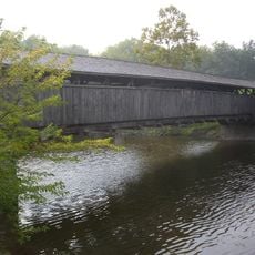
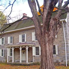
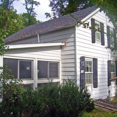
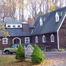
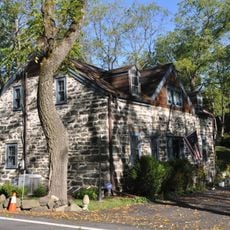
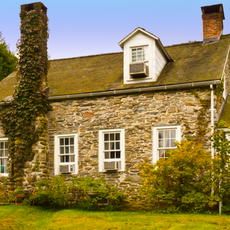
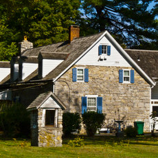
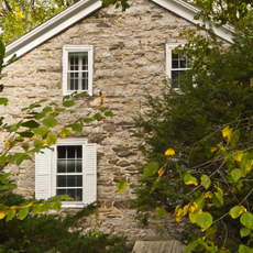
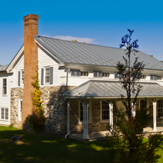
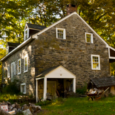
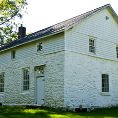
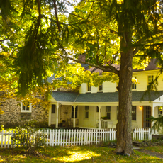
Snyder Estate Natural Cement Historic District is an industrial area in Rosendale covering about 275 acres with cement factories, mines, homes, and other structures spread across the landscape. The grounds follow the route of the Delaware and Hudson Canal and contain about 122 buildings and structures from different time periods.

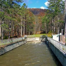
Natural cement production started in 1825 when dolostone deposits were discovered during construction of the Delaware and Hudson Canal. This discovery sparked the growth of a major industry that shaped the region for decades and drew many workers to the area.

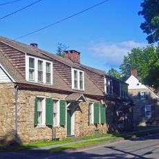
The place shows how cement production shaped everyday life in the region and how closely families and factories existed side by side. Walking through the grounds, you can see how workers lived near their workplaces and how this industry became central to the community's identity.

The site offers self-guided tours spread across a large area, so wear comfortable shoes and allow plenty of time for exploring. It helps to get a map or guide beforehand to navigate the various structures and buildings efficiently.

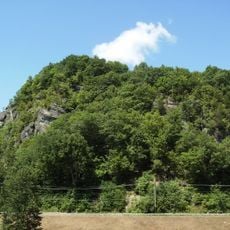
Widow Jane Mine demonstrates the room and pillar mining technique, where stone columns were left standing to support the ceiling and prevent collapse. This method allowed miners to extract material efficiently while keeping underground structures stable.

The community of curious travelers

AroundUs brings together thousands of curated places, local tips, and hidden gems, enriched daily by 60,000 contributors worldwide.

Start exploring
Location
GPS coordinates
41.84722,-74.09778
Latest update
December 12, 2025 14:26
Around this place
Mohonk Mountain House
United States of America

Mohonk Mountain House

10 km
Catskill Aqueduct
United States of America

Catskill Aqueduct

3.3 km
Rosendale Trestle
United States of America

Rosendale Trestle

899 m
Joppenbergh Mountain
United States of America

Joppenbergh Mountain

955 m
Perrine's Bridge
United States of America

Perrine's Bridge

4.8 km
Rosendale Theatre
United States of America

Rosendale Theatre

1.3 km
Cornelius Wynkoop Stone House
United States of America

Cornelius Wynkoop Stone House

3.9 km
High Falls Historic District
United States of America

High Falls Historic District

3.3 km
Main Street Historic District
United States of America

Main Street Historic District

3.9 km
Alligerville Historic District
United States of America

Alligerville Historic District

10 km
Hurley Historic District
United States of America

Hurley Historic District

9.2 km
Binnewater Historic District
United States of America

Binnewater Historic District

1.5 km
Bevier House Museum
United States of America

Bevier House Museum

4.8 km
Major Jacob Hasbrouck Jr. House
United States of America

Major Jacob Hasbrouck Jr. House

9.7 km
Lock Tender's House and Canal Store Ruin
United States of America

Lock Tender's House and Canal Store Ruin

3.8 km
Shaupeneak Ridge Cooperative Recreation Area
United States of America

Shaupeneak Ridge Cooperative Recreation Area

8.6 km
Kripplebush Historic District
United States of America

Kripplebush Historic District

7.6 km
Rosendale Library
United States of America

Rosendale Library

1.9 km
Delaware and Hudson Canal Museum
United States of America

Delaware and Hudson Canal Museum

3.3 km
Poppletown Farmhouse
United States of America

Poppletown Farmhouse

10.6 km
DuBois-Deyo House
United States of America

DuBois-Deyo House

4.9 km
Sahler Stone House
United States of America

Sahler Stone House

8.1 km
Jacobus Van Wagenen Stone House
United States of America

Jacobus Van Wagenen Stone House

8.2 km
Sahler Stone House and Dutch Barn
United States of America

Sahler Stone House and Dutch Barn

8.6 km
Stilwill-Westbrook Stone House
United States of America

Stilwill-Westbrook Stone House

9.2 km
Jacob F. Markle Stone House
United States of America

Jacob F. Markle Stone House

10.1 km
Stilwell Stone House
United States of America

Stilwell Stone House

8.5 km
Lucas Krom Stone House
United States of America

Lucas Krom Stone House

10.6 km
Show the full map
« Snyder Estate Natural Cement Historic District - Industrial heritage complex in Rosendale, New York, United States » is provided by Around Us (aroundus.com). Images and texts are derived from Wikimedia project under a Creative Commons license. You are allowed to copy, distribute, and modify copies of this page, under the conditions set by the license, as long as this note is clearly visible.

Discover hidden gems everywhere you go!

From secret cafés to breathtaking viewpoints, skip the crowded tourist spots and find places that match your style. Our app makes it easy with voice search, smart filtering, route optimization, and insider tips from travelers worldwide. Download now for the complete mobile experience.

Around Us App Screenshot

A unique approach to discovering new places

Le Figaro

All the places worth exploring

France Info

A tailor-made excursion in just a few clicks

20 Minutes

Around Us
Travel Guide & Maps
Download

Send to your phone

QR Code
1

Open the camera app on your mobile.

2

Point at the QR code with your camera. A notification will appear.

3

Tap the notification to open the link.