Chest opened
+${chestReward.xp} XP
Explorer
NOUVEAU ×${chestReward.collectible.quantity}
tapez pour fermer
Chest locked

Open chests in the app

Around Us is built for your phone — chests unlock when you walk, explore and capture nearby places.

Enable Location

We need your location to show you interesting places around you

Discover nearby places

Find interesting locations and hidden gems around you

Precise directions

Get accurate directions and distances to places

Your location is never shared with other users. It's only used when you tap the location button.

Log in to your account

Start exploring — it's free

Trusted by 72,876 travelers worldwide

Continue with Google
Continue with Apple
or

We will send you a code to connect

By continuing, you accept our Terms and Conditions and our Privacy Policy

Check your inbox

We've sent a pincode in your inbox. Please enter the code below.

Discussion Reviews Photo
3.9k Popularity

Bath County, Former colonial county in North Carolina, United States.

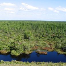
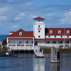
Bath County was an early colonial territorial division in eastern North Carolina that stretched from the Pamlico River down to the South Carolina border. The region contained several river systems and port settlements that served as centers for commerce and settlement.

The county was established in 1696 as part of the broader Albemarle County before becoming independent. In 1739 it was dissolved and divided into seven new counties as the region continued to expand and develop.

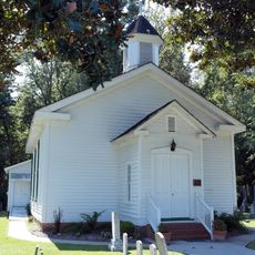
The town of Bath served as a gathering point for settlers and seafaring people who shaped the region's maritime traditions. These communities developed their own way of life along the waterways, blending agricultural and trading practices.

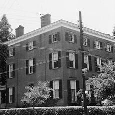
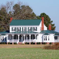
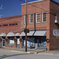
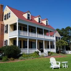
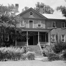
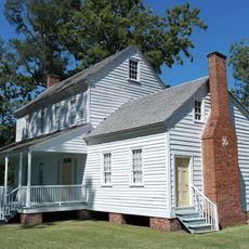
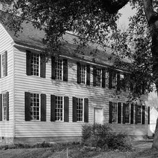
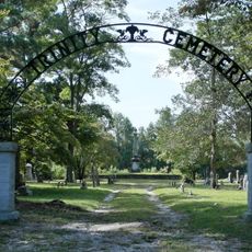
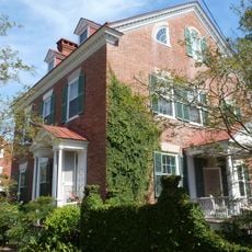
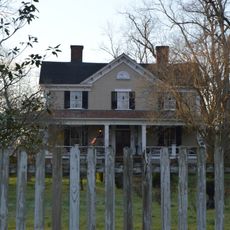
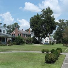
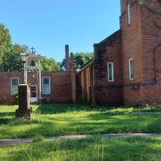
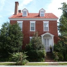
Today this former county can be explored primarily through historical records and sites scattered across several modern towns in North Carolina. Visitors interested in colonial history can find preserved buildings and markers in the towns that succeeded it.

The pirate Edward Teach, better known as Blackbeard, used the ports of this region as shelter and married a local woman there in 1716. This moment reveals how the colonial waterways attracted notorious outlaws and shaped the rough character of early maritime life.

The community of curious travelers

AroundUs brings together thousands of curated places, local tips, and hidden gems, enriched daily by 60,000 contributors worldwide.

Start exploring
Location
Inception
1696
GPS coordinates
35.48100,-76.80300
Latest update
March 5, 2026 18:17
Around this place
Goose Creek State Park
United States of America

Goose Creek State Park

10.1 km
Pocosin Lakes National Wildlife Refuge
United States of America

Pocosin Lakes National Wildlife Refuge

40.1 km
Bath Historic District
United States of America

Bath Historic District

1.1 km
Slover-Bradham House
United States of America

Slover-Bradham House

46.4 km
Grimesland Plantation
United States of America

Grimesland Plantation

34 km
Aurora Fossil Museum
United States of America

Aurora Fossil Museum

19.6 km
China Grove
United States of America

China Grove

45 km
Bellair
United States of America

Bellair

44.2 km
Blades House
United States of America

Blades House

46.4 km
New Bern National Cemetery
United States of America

New Bern National Cemetery

45.8 km
Bonner House
United States of America

Bonner House

1.4 km
Palmer-Marsh House
United States of America

Palmer-Marsh House

1.1 km
Trinity Episcopal Church
United States of America

Trinity Episcopal Church

28.9 km
Ocracoke Historic District
United States of America

Ocracoke Historic District

44 km
Eli Smallwood House
United States of America

Eli Smallwood House

46.3 km
Latham House
United States of America

Latham House

43.3 km
Riverside Historic District
United States of America

Riverside Historic District

46 km
Beaufort County Courthouse
United States of America

Beaufort County Courthouse

23.8 km
Zion Episcopal Church
United States of America

Zion Episcopal Church

12.8 km
North Market Street Historic District
United States of America

North Market Street Historic District

23.6 km
Aurora Fossil Museum
United States of America

Aurora Fossil Museum

19.7 km
Jones-Jarvis House
United States of America

Jones-Jarvis House

46.3 km
Bank of Washington, West End Branch
United States of America

Bank of Washington, West End Branch

24 km
Bowers-Tripp House
United States of America

Bowers-Tripp House

23.6 km
Perry-Spruill House
United States of America

Perry-Spruill House

42.9 km
Ware Creek School
United States of America

Ware Creek School

14 km
Gull Harbor
United States of America

Gull Harbor

46.4 km
George V. Credle House and Cemetery
United States of America

George V. Credle House and Cemetery

39.5 km
Show the full map
Reviews
Share your experience

No review yet

Discussions
Start a discussion...

No discussion yet

« Bath County - Former colonial county in North Carolina, United States » is provided by Around Us (aroundus.com). Images and texts are derived from Wikimedia project under a Creative Commons license. You are allowed to copy, distribute, and modify copies of this page, under the conditions set by the license, as long as this note is clearly visible.

Discover hidden gems everywhere you go!

From secret cafés to breathtaking viewpoints, skip the crowded tourist spots and find places that match your style. Our app makes it easy with voice search, smart filtering, route optimization, and insider tips from travelers worldwide. Download now for the complete mobile experience.

Around Us App Screenshot

A unique approach to discovering new places

Le Figaro

All the places worth exploring

France Info

A tailor-made excursion in just a few clicks

20 Minutes

Around Us
Travel Guide & Maps
Download

Send to your phone

QR Code
1

Open the camera app on your mobile.

2

Point at the QR code with your camera. A notification will appear.

3

Tap the notification to open the link.