Enable Location

We need your location to show you interesting places around you

Discover nearby places

Find interesting locations and hidden gems around you

Precise directions

Get accurate directions and distances to places

Your location is never shared with other users. It's only used when you tap the location button.

Breakneck Road Historic District

Log in to your account

Start exploring — it's free

Trusted by 62,844 travelers worldwide

Continue with Google
Continue with Apple
or

We will send you a code to connect

By continuing, you accept our Terms and Conditions and our Privacy Policy

Check your inbox

We've sent a pincode in your inbox. Please enter the code below.

Breakneck Road Historic District, Historic district in Flintstone, Maryland, United States

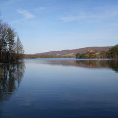
Breakneck Road Historic District is a rural area spanning about 6,270 acres with traditional farms and historical buildings near Flintstone in Allegany County. The landscape maintains its agricultural character and displays various architectural periods through its structures.

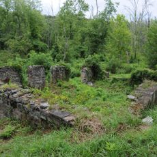
The area was settled by early families who established farms and homes that have largely stayed within the same family lines over time. It gained official recognition when added to the National Register of Historic Places in 1980.

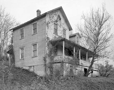
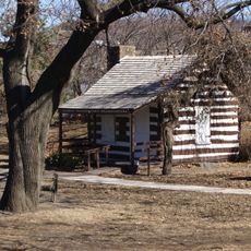
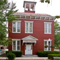
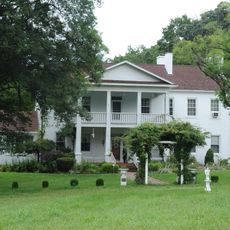
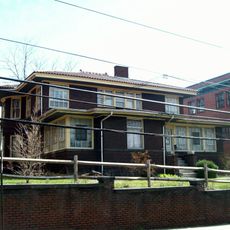
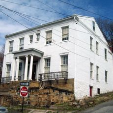
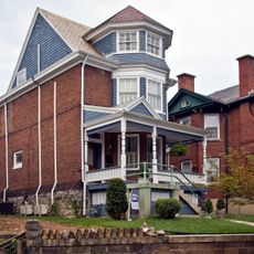
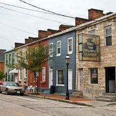
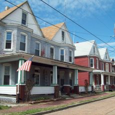
The buildings scattered across this area display Federal, Victorian, and Colonial Revival styles that visitors can see when walking through the farms. These structures show how rural families expressed their status and taste through architecture over generations.

The district is accessible for walking and exploring the rural landscape and individual farms at your own pace. Plan time for a leisurely walk to take in the historical structures and farmland that make up the area.

The name comes from the early dangerous road conditions that made travel through the area treacherous for 18th and 19th century travelers. Today the calm rural roads show no sign of their once-risky past.

The community of curious travelers

AroundUs brings together thousands of curated places, local tips, and hidden gems, enriched daily by 60,000 contributors worldwide.

Start exploring
Location
GPS coordinates
39.67780,-78.61250
Latest update
December 14, 2025 18:41
Around this place
Rocky Gap State Park
United States of America

Rocky Gap State Park

3.7 km
Canal Place
United States of America

Canal Place

13.3 km
Headquarters of George Washington
United States of America

Headquarters of George Washington

13.4 km
B'er Chayim Temple
United States of America

B'er Chayim Temple

13 km
Downtown Cumberland Historic District
United States of America

Downtown Cumberland Historic District

13.1 km
Klots Throwing Company Mill
United States of America

Klots Throwing Company Mill

13.3 km
Allegany County Courthouse
United States of America

Allegany County Courthouse

13.6 km
Town Clock Church
United States of America

Town Clock Church

12.9 km
Cumberland YMCA
United States of America

Cumberland YMCA

12.8 km
Public Safety Building
United States of America

Public Safety Building

13.2 km
African Methodist Episcopal Church
United States of America

African Methodist Episcopal Church

12.9 km
Bell Tower Building
United States of America

Bell Tower Building

13.2 km
Folck's Mill
United States of America

Folck's Mill

9.5 km
City Hall
United States of America

City Hall

13.2 km
Phoenix Mill Farm
United States of America

Phoenix Mill Farm

7.9 km
First Baptist Church
United States of America

First Baptist Church

13 km
Francis Haley House
United States of America

Francis Haley House

12.8 km
Rolling Mill Historic District
United States of America

Rolling Mill Historic District

12.8 km
George Truog House
United States of America

George Truog House

12.8 km
Thomas Koon House
United States of America

Thomas Koon House

12.8 km
Hewitt Covered Bridge
United States of America

Hewitt Covered Bridge

12.2 km
Decatur Heights Historic District
United States of America

Decatur Heights Historic District

12.5 km
16 Altamont Terrace
United States of America

16 Altamont Terrace

12.7 km
Wright Butler House
United States of America

Wright Butler House

13.1 km
200-208 Decatur Street
United States of America

200-208 Decatur Street

12.8 km
Chapel Hill Historic District
United States of America

Chapel Hill Historic District

13.6 km
United States of America

Washington Street Library

13.5 km
Blue Bridge
United States of America

Blue Bridge

13.5 km
Show the full map
« Breakneck Road Historic District - Historic district in Flintstone, Maryland, United States » is provided by Around Us (aroundus.com). Images and texts are derived from Wikimedia project under a Creative Commons license. You are allowed to copy, distribute, and modify copies of this page, under the conditions set by the license, as long as this note is clearly visible.

Discover hidden gems everywhere you go!

From secret cafés to breathtaking viewpoints, skip the crowded tourist spots and find places that match your style. Our app makes it easy with voice search, smart filtering, route optimization, and insider tips from travelers worldwide. Download now for the complete mobile experience.

Around Us App Screenshot

A unique approach to discovering new places

Le Figaro

All the places worth exploring

France Info

A tailor-made excursion in just a few clicks

20 Minutes

Around Us
Travel Guide & Maps
Download

Send to your phone

QR Code
1

Open the camera app on your mobile.

2

Point at the QR code with your camera. A notification will appear.

3

Tap the notification to open the link.