Chest opened
+${chestReward.xp} XP
Explorer
NOUVEAU ×${chestReward.collectible.quantity}
tapez pour fermer
Chest locked

Open chests in the app

Around Us is built for your phone — chests unlock when you walk, explore and capture nearby places.

Enable Location

We need your location to show you interesting places around you

Discover nearby places

Find interesting locations and hidden gems around you

Precise directions

Get accurate directions and distances to places

Your location is never shared with other users. It's only used when you tap the location button.

Log in to your account

Start exploring — it's free

Trusted by 72,880 travelers worldwide

Continue with Google
Continue with Apple
or

We will send you a code to connect

By continuing, you accept our Terms and Conditions and our Privacy Policy

Check your inbox

We've sent a pincode in your inbox. Please enter the code below.

Missouri Bootheel
Discussion Reviews Photo
45.9k Popularity

Missouri Bootheel, Agricultural region in southeastern Missouri, United States.

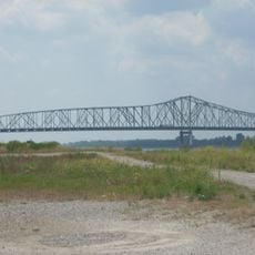
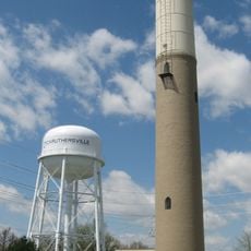
The Missouri Bootheel is an agricultural region in southeastern Missouri that extends into the Mississippi River valley across three counties with fertile lowlands. Major farming operations focus on soybeans, rice, and cotton, with activity centered in Kennett, Sikeston, and surrounding communities.

The territory was established as part of Missouri in 1818 after John Hardeman Walker successfully advocated for its inclusion rather than Arkansas. This boundary decision shaped the region's current position at the state's southeastern corner.

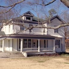
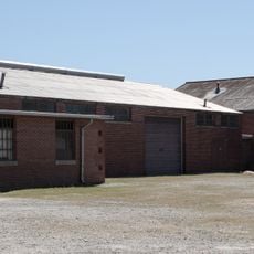
The region maintains strong ties to Mississippi Delta traditions through rural music and the farming practices that shape daily life in towns and across the farmland.

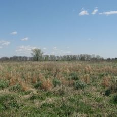
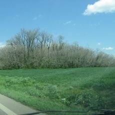
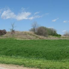
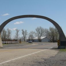
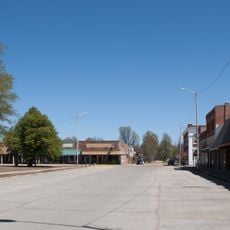
The area is sparsely populated and defined by open farmland and wide fields extending to the horizon. A car is best for exploring the scattered communities and gaining a sense of the rural landscape.

The territory forms a distinctive boot shape at Missouri's southeastern corner, marking the northernmost edge of the Mississippi Embayment. This unusual geographic form resulted from historical boundary decisions and remains clearly visible on maps.

The community of curious travelers

AroundUs brings together thousands of curated places, local tips, and hidden gems, enriched daily by 60,000 contributors worldwide.

Start exploring
Location
GPS coordinates
36.25000,-89.85000
Latest update
December 25, 2025 02:41
Around this place
Caruthersville Bridge
United States of America

Caruthersville Bridge

26.1 km
Pfeiffer House and Carriage House
United States of America

Pfeiffer House and Carriage House

34.8 km
Eaker Site
United States of America

Eaker Site

32.8 km
Murphy Mound Archeological Site
United States of America

Murphy Mound Archeological Site

17.7 km
Campbell Archeological Site
United States of America

Campbell Archeological Site

23.3 km
United States Highway 61 Arch
United States of America

United States Highway 61 Arch

28.2 km
United States of America

Blytheville Air Force Base Capehart Housing Historic District

33.2 km
Caruthersville Water Tower
United States of America

Caruthersville Water Tower

18.3 km
Charles and Bettie Birthright House
United States of America

Charles and Bettie Birthright House

24.7 km
United States of America

County Home Cemetery

35.7 km
United States of America

Piggott Post Office

34.1 km
Piggott National Guard Armory
United States of America

Piggott National Guard Armory

33.2 km
United States of America

Delmo Community Center

9.4 km
Piggott Commercial Historic District
United States of America

Piggott Commercial Historic District

33.9 km
Clay County Courthouse, Eastern District
United States of America

Clay County Courthouse, Eastern District

34 km
United States of America

Kennett City Hall and Masonic Lodge

19.7 km
River City Adventure Park
United States of America

River City Adventure Park

15.6 km
United States of America

Algerian Theatre

33.9 km
United States of America

Keys Theatre

24.8 km
United States of America

Missouri Theatre

24.8 km
United States of America

Lewis Theatre

8.4 km
United States of America

Dillard Theatre

11.6 km
United States of America

Wardell Theatre

11.7 km
United States of America

Rodgers Theatre

18.7 km
United States of America

Half-Moon Lake

20.9 km
United States of America

Caruthersville Country Club

18.1 km
United States of America

Kennett Country Club

16.3 km
United States of America

Thunder Bayou Golf Links

33.3 km
Show the full map
Reviews
Share your experience

No review yet

Discussions
Start a discussion...

No discussion yet

« Missouri Bootheel - Agricultural region in southeastern Missouri, United States » is provided by Around Us (aroundus.com). Images and texts are derived from Wikimedia project under a Creative Commons license. You are allowed to copy, distribute, and modify copies of this page, under the conditions set by the license, as long as this note is clearly visible.

Discover hidden gems everywhere you go!

From secret cafés to breathtaking viewpoints, skip the crowded tourist spots and find places that match your style. Our app makes it easy with voice search, smart filtering, route optimization, and insider tips from travelers worldwide. Download now for the complete mobile experience.

Around Us App Screenshot

A unique approach to discovering new places

Le Figaro

All the places worth exploring

France Info

A tailor-made excursion in just a few clicks

20 Minutes

Around Us
Travel Guide & Maps
Download

Send to your phone

QR Code
1

Open the camera app on your mobile.

2

Point at the QR code with your camera. A notification will appear.

3

Tap the notification to open the link.