
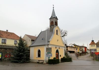
Ortskapelle Ossarn, human settlement in Austria
Location: Herzogenburg
Elevation above the sea: 233 m
Address: Ossarn
GPS coordinates: 48.27320,15.71470
Latest update: March 8, 2025 21:55

Herzogenburg Priory
2 km
War memorial chapel and cemetery, Herzogenburg
2.3 km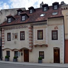
Bürgerhaus
2 km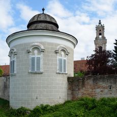
City wall Herzogenburg
2.1 km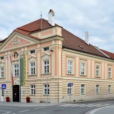
Ehem. Rathaus des Unteren Marktes
1.9 km
Rathaus des Oberen Marktes, Herzogenburg
2.2 km
Bürgerhaus, Volksbank
2 km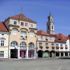
Rathausplatz 12, Herzogenburg
2 km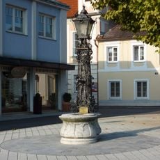
Brunnen
2.2 km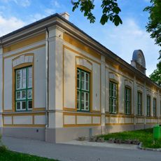
Turnhalle
2.2 km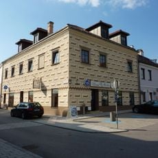
Ehem. Günther-Haus, ehem. Rathaus des Oberen Marktes
2 km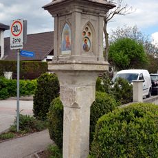
Wayside shrine 1045-1, St. Andrä an der Traisen
2.3 km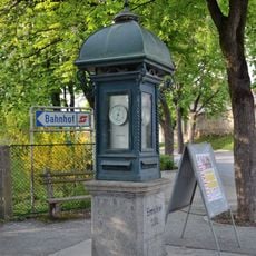
Wetterhäuschen
2.2 km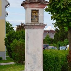
Wayside shrine Prandtauerring, Herzogenburg
2.1 km
Pestsäule
1.6 km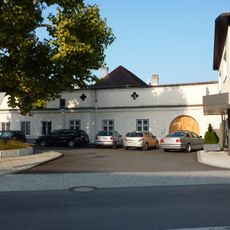
Altes Gsellshaus
2.2 km
Wohnhaus
2.2 km
Volksschule Herzogenburg
2.2 km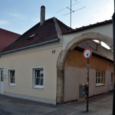
Wohnhaus
2.2 km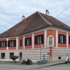
Bürgerhaus Wiener Straße 7, Herzogenburg
1.8 km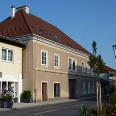
Bürgerhaus
2.2 km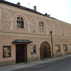
Bürgerhaus
2 km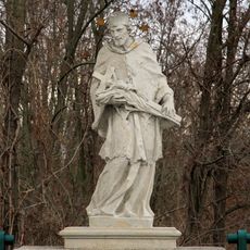
Figurenbildstock hl. Johannes Nepomuk
1.4 km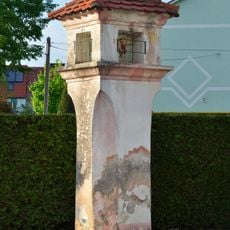
Bildstock
1.9 km
Gasthaus „Altes Brauhaus“
1.9 km
Bürgerhaus
1.9 km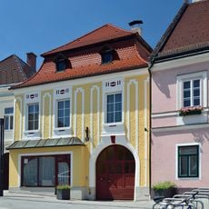
Bürgerhaus
2 km
Bürgerhaus
1.9 kmReviews
Visited this place? Tap the stars to rate it and share your experience / photos with the community! Try now! You can cancel it anytime.
Discover hidden gems everywhere you go!
From secret cafés to breathtaking viewpoints, skip the crowded tourist spots and find places that match your style. Our app makes it easy with voice search, smart filtering, route optimization, and insider tips from travelers worldwide. Download now for the complete mobile experience.

A unique approach to discovering new places❞
— Le Figaro
All the places worth exploring❞
— France Info
A tailor-made excursion in just a few clicks❞
— 20 Minutes