
Weißjackl, mountain in Austria
Location: Lower Austria
Elevation above the sea: 805 m
GPS coordinates: 47.69727,15.95881
Latest update: July 2, 2025 19:42
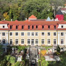
Stuppach Castle
2 km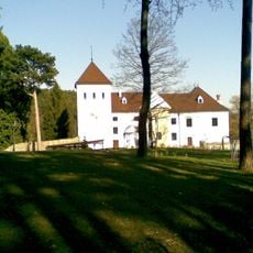
Schloss Vöstenhof
2.8 km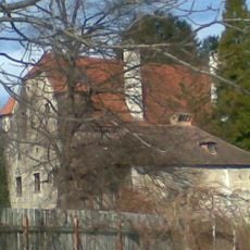
Schloss Pottschach
3.1 km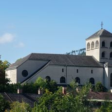
Pfarrkirche von Gloggnitz
2.9 km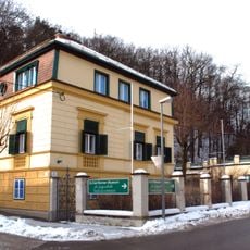
Villa Renner Gloggnitz
3 km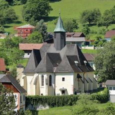
Subsidiary church Prigglitz
2.4 km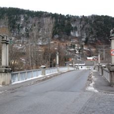
Gloggnitz Dr.-Karl-Renner-Brücke
2.5 km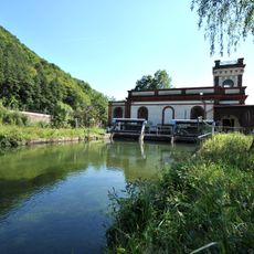
Gloggnitz power plant
3.2 km
Sonderschule Gloggnitz
3.1 km
Bergfriedhof
3.1 km
Kath. Filialkirche hl. Florian
3 km
Kapelle hl. Othmar
2.9 km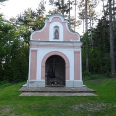
Kalvarienbergkapelle
3.1 km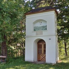
Patricius chapel in Prigglitz
1.7 km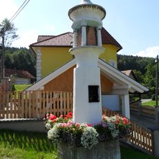
Bildstock
3.1 km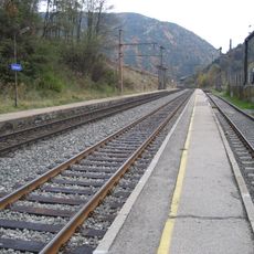
Südbahnstrecke Semmering-Bahn (Gloggnitz-Mürzzuschlag)
3.2 km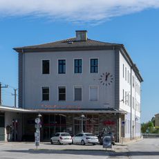
Aufnahmsgebäude Bahnhof Gloggnitz
2.4 km
Teil der 1. Wiener Hochquellenleitung, Aquädukt 10a
2.8 km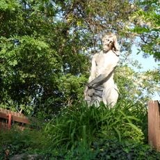
Bildstock Christus an der Geißelsäule
3.1 km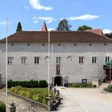
Pfarrhof
3.2 km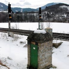
Teil der 1. Wiener Hochquellenleitung
3.2 km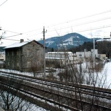
Südbahnstrecke Semmering-Bahn (Gloggnitz-Mürzzuschlag)
2.6 km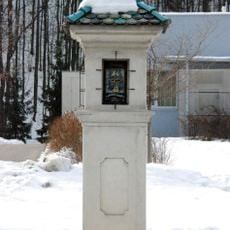
Bildstock Gloggnitz Wienerstraße
2.9 km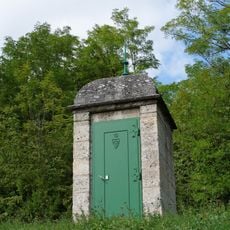
Teil der 1. Wiener Hochquellenleitung
2.5 km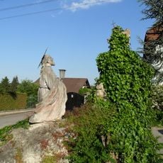
Ölberggruppe
3.1 km
Befestigte Höhensiedlung Burgstall
2.8 km
Befestigte Höhensiedlung Burgstall
2.6 km
Teil der 1. Wiener Hochquellenleitung, Aquädukt 10a
2.9 kmReviews
Visited this place? Tap the stars to rate it and share your experience / photos with the community! Try now! You can cancel it anytime.
Discover hidden gems everywhere you go!
From secret cafés to breathtaking viewpoints, skip the crowded tourist spots and find places that match your style. Our app makes it easy with voice search, smart filtering, route optimization, and insider tips from travelers worldwide. Download now for the complete mobile experience.

A unique approach to discovering new places❞
— Le Figaro
All the places worth exploring❞
— France Info
A tailor-made excursion in just a few clicks❞
— 20 Minutes