
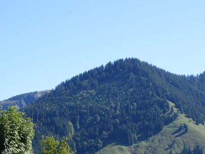
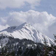
Sattelspitz, mountain in Austria
Location: Dornbirn
Elevation above the sea: 1,562 m
GPS coordinates: 47.33784,9.76984
Latest update: March 3, 2025 00:07
Hoher Freschen
3.5 km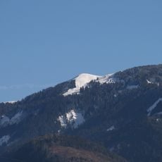
Hohe Kugel
4.1 km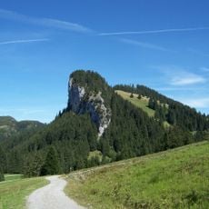
Schöner Mann
3.2 km
Dornbirner First
3.2 km
Alplochschlucht
4.4 km
Staufen
4.4 km
Schuttannen
3.7 km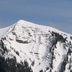
Mörzelspitze
3.2 km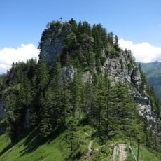
Bocksberg
2.7 km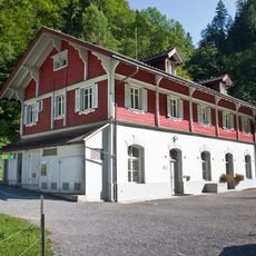
Ebensand power station
4.5 km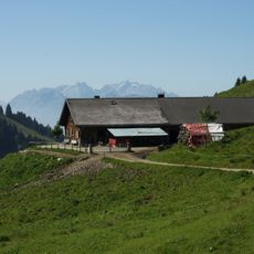
Schönermannalpe
3.2 km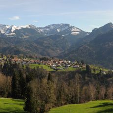
Salzbödenkopf
2 km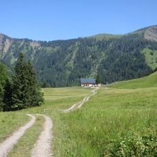
Sattelalpe
829 m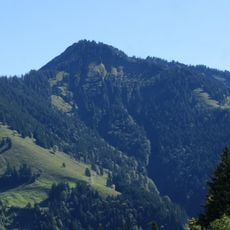
Alpkopf
1.1 km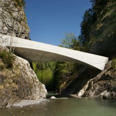
Schanerloch-bridge
2.4 km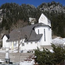
Pfarrkirche Hl. Maria Magdalena, Ebnit
2.5 km
Leuenkopf
3.7 km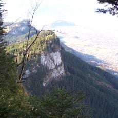
Strahlkopf
4 km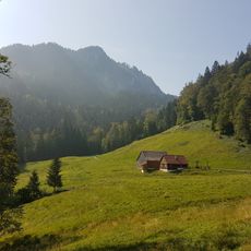
Spaetenbachalpe
3.7 km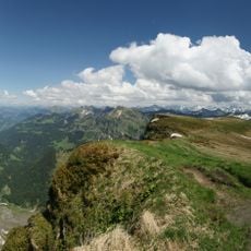
Hohe Kugel - Hoher Freschen - Mellental
2.9 km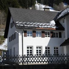
Beständerhaus Ebnit
2.5 km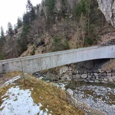
Kohlhaldenbruecke
2.7 km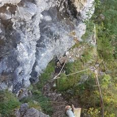
Bocksbergweg
2.7 km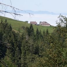
Ruheshuette
4.7 km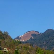
First
3.7 km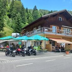
Ebnit 52
2.5 km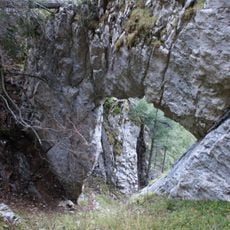
Naturdenkmal Felsboegen
2.9 km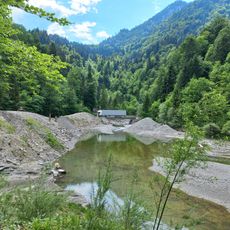
Staufenseebypass
4.6 kmReviews
Visited this place? Tap the stars to rate it and share your experience / photos with the community! Try now! You can cancel it anytime.
Discover hidden gems everywhere you go!
From secret cafés to breathtaking viewpoints, skip the crowded tourist spots and find places that match your style. Our app makes it easy with voice search, smart filtering, route optimization, and insider tips from travelers worldwide. Download now for the complete mobile experience.

A unique approach to discovering new places❞
— Le Figaro
All the places worth exploring❞
— France Info
A tailor-made excursion in just a few clicks❞
— 20 Minutes