
Mechkul, village in Blagoevgrad Province, Bulgaria
Location: Simitli Municipality
Elevation above the sea: 741 m
GPS coordinates: 41.82506,23.19745
Latest update: April 15, 2025 21:49
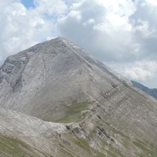
Vihren
18 km
Sinanitsa
17.3 km
Kutelo
17.6 km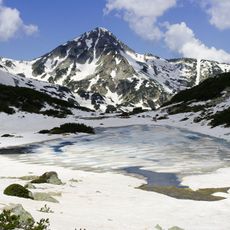
Muratov Vrah
18.8 km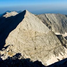
Banski Suhodol
16.7 km
Pirin peak
8.3 km
Bayuvi Dupki Peak
15.5 km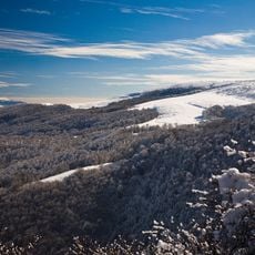
Џами Тепе
16.9 km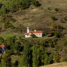
Troskovo Monastery
16.9 km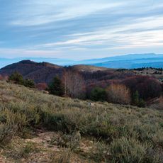
Ченгино Кале
18.1 km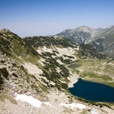
Гредаро
17.5 km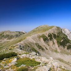
Гергийца (връх)
17.6 km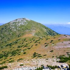
Даутов връх
11.3 km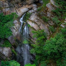
Vlahi Waterfall
9.6 km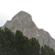
Момин връх
17.7 km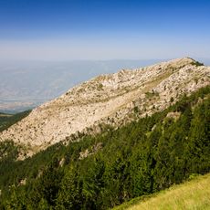
Шаралия
16 km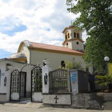
Saint John of Rila Church
11.8 km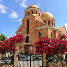
Archangel Michael Church
6.8 km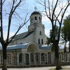
Nativity of Mary Church
10.2 km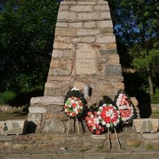
Kresna War Memorial
11.7 km
Holy Trinity Church
6.1 km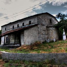
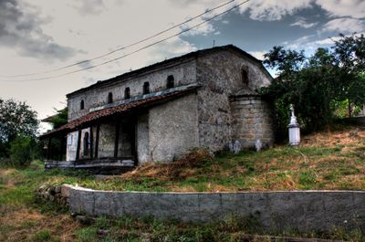
Sts Peter and Paul Church
249 m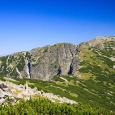
Плешки връх
9.6 km
Свети Илия
9.8 km
Каменишки връх
11.3 km
Saint Elijah Church
2.5 km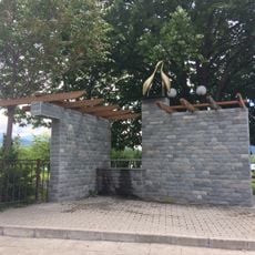
Storks Fountain, Simitli
10.3 km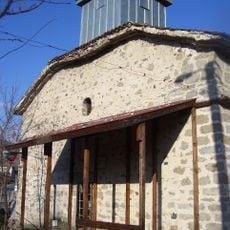
Свети Илия
10.2 kmVisited this place? Tap the stars to rate it and share your experience / photos with the community! Try now! You can cancel it anytime.
Discover hidden gems everywhere you go!
From secret cafés to breathtaking viewpoints, skip the crowded tourist spots and find places that match your style. Our app makes it easy with voice search, smart filtering, route optimization, and insider tips from travelers worldwide. Download now for the complete mobile experience.

A unique approach to discovering new places❞
— Le Figaro
All the places worth exploring❞
— France Info
A tailor-made excursion in just a few clicks❞
— 20 Minutes