Eritrea, Independent nation in the Horn of Africa
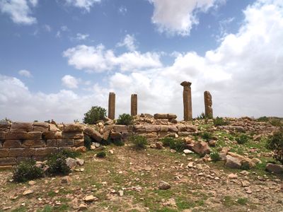
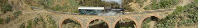
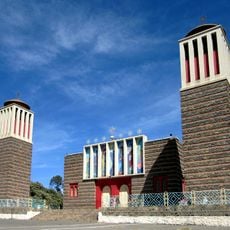
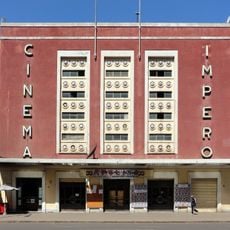
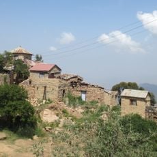
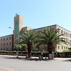
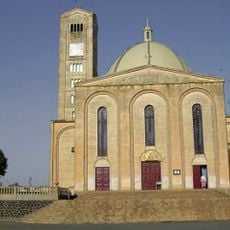
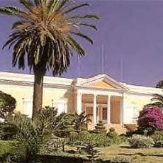
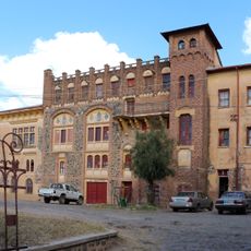
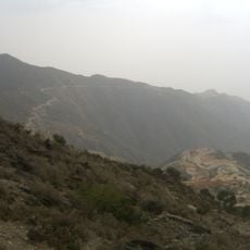
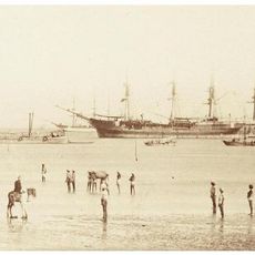
Eritrea is a nation on the Horn of Africa that stretches along the Red Sea coast, taking in low desert plains, central highland plateaus, and the Dahlak Archipelago offshore. The landscape rises from sea level to mountains that reach over 3,000 meters, while Asmara, the capital, sits on a plateau at 2,325 meters and retains much of its colonial-era layout. Massawa functions as the main seaport on the coast, connecting the interior to maritime routes.
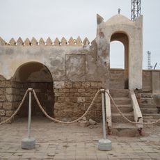
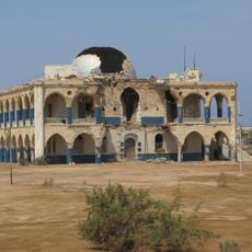
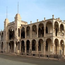
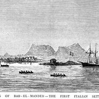
Italian forces seized Massawa in 1885 and declared the colony five years later. British troops arrived in 1941, and a decade later the territory joined Ethiopia in a federation that dissolved in the early 1960s when armed resistance began. A referendum in 1993 established independence after three decades of conflict. Border clashes with Ethiopia flared between 1998 and 2000, leaving a contested frontier.
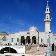
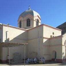
Nine ethnic groups speak distinct languages across the country, with Tigrinya, Tigre, and Afar among them. Coffee ceremonies bring people together in a slow ritual where roasted beans are ground and brewed in clay pots over charcoal. The Eritrean Orthodox Church follows the Alexandrian Rite and holds services in Ge'ez, while Muslim communities observe their own prayer times and festivals. Markets display silver jewelry, woven baskets, and handmade textiles produced by local artisans using techniques passed down through generations.
Entry requires a visa arranged through an embassy, and travel permits are needed for journeys beyond the capital. Photography of military sites, bridges, and ports is not allowed, and the nakfa currency cannot be changed outside the country. The period from October through April brings cooler weather and easier conditions for moving around. Most transactions rely on cash because card payments have limited acceptance.
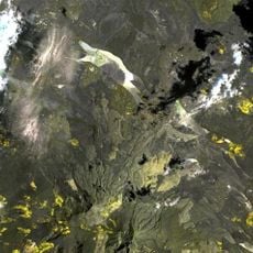
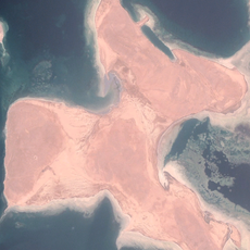
The Danakil Depression holds some of the hottest inhabited ground on Earth, where Afar nomads have cut salt slabs from the surface for centuries. This area drops to 125 meters below sea level, and camel caravans carry the slabs over several days to distant trading posts. Volcanic activity colors the terrain with sulfur pools and cracked lava fields that shift with each eruption.
The community of curious travelers
AroundUs brings together thousands of curated places, local tips, and hidden gems, enriched daily by 60,000 contributors worldwide.