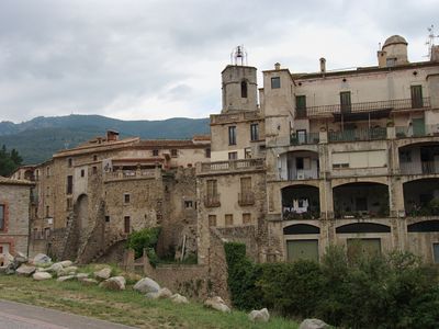
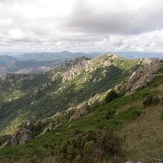
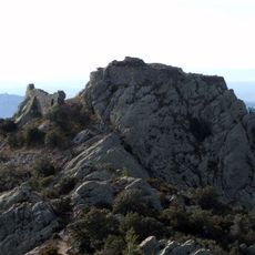
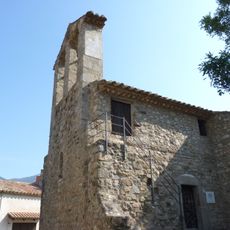
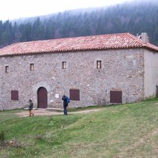
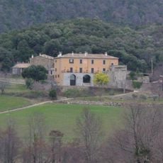
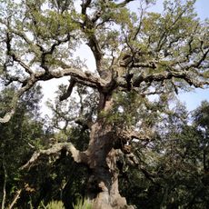
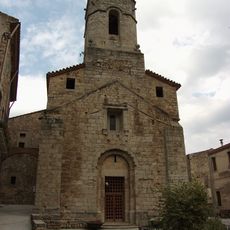
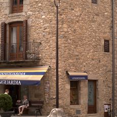
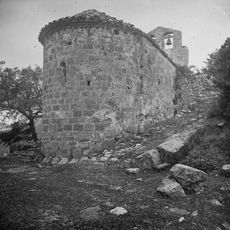
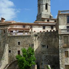
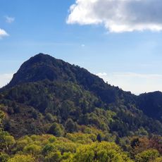
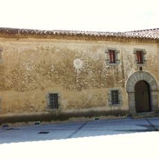
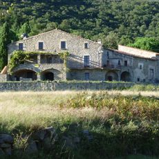
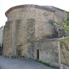
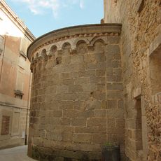
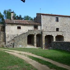
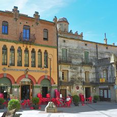
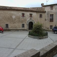
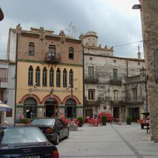
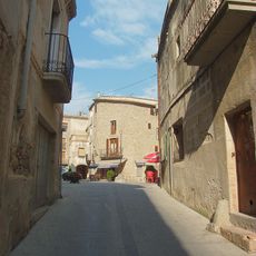
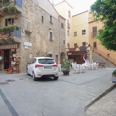
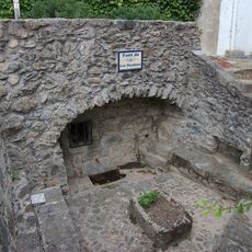
Maçanet de Cabrenys, municipality in the comarca of Alt Empordà, Girona, Catalonia, Spain
Location: Alt Empordà
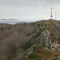
Elevation above the sea: 370 m
Part of: Mancomunitat Intermunicipal de l'Alt Empordà
Shares border with: Darnius, Sant Llorenç de la Muga, Albanyà, Saint-Laurent-de-Cerdans, Amélie-les-Bains-Palalda, Reynès, Céret, Maureillas-las-Illas, Coustouges
Website: https://xn--maanetdecabrenys-dpb.cat
GPS coordinates: 42.38861,2.75194
Latest update: March 10, 2025 19:03
Roc de Frausa
4.4 km
Castell de Cabrera
2.7 km
Pic de les Salines
4.1 km
Sant Briç de Tapis
4.3 km
Mare de Déu de les Salines
3.6 km
El Moixer
4.2 km
Can Barris (la Vajol)
3.8 km
Santa Maria de la Fau
4.8 km
Roc del Pou
4.1 km
Pedra Dreta del Coll de la Dona Morta
5.1 km
Sant Cristòfol dels Horts
6.7 km
Suro de la Pubilla
2 km
Sant Martí de Maçanet de Cabrenys
432 m
La Maça d'en Rotllan
440 m
Sant Miquel de Fontfreda
4.6 km
Murs de defensa de Maçanet
482 m
Puig Falcó
7.1 km
Ca n'Olivet
466 m
Can Muntada
246 m
Sant Sebastià de Maçanet
204 m
Can Duran
418 m
La Cardona
568 m
La Unió Maçanenca
454 m
Plaça del Castell
460 m
Can Molar
464 m
House in plaça de la Vila, 5
450 m
House in carrer Burriana, 9
375 m
Font de les Dòmines
456 mReviews
Visited this place? Tap the stars to rate it and share your experience / photos with the community! Try now! You can cancel it anytime.
Discover hidden gems everywhere you go!
From secret cafés to breathtaking viewpoints, skip the crowded tourist spots and find places that match your style. Our app makes it easy with voice search, smart filtering, route optimization, and insider tips from travelers worldwide. Download now for the complete mobile experience.
A unique approach to discovering new places❞
— Le Figaro
All the places worth exploring❞
— France Info
A tailor-made excursion in just a few clicks❞
— 20 Minutes