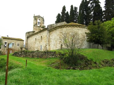
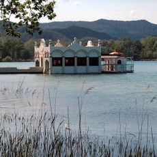
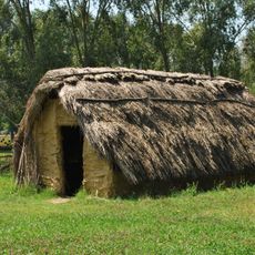
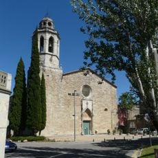
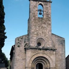
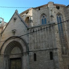
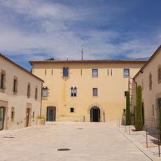
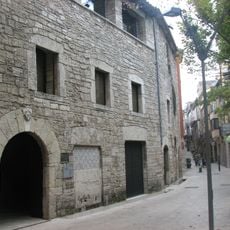
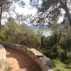
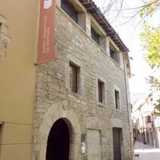
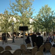
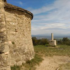
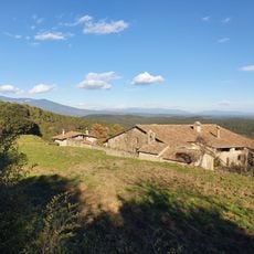
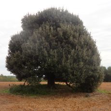
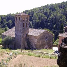
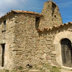
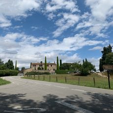
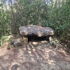
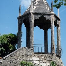
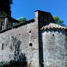
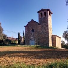
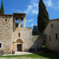
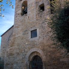
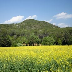
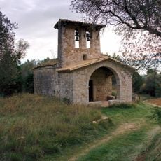
Porqueres, Spanish municipality
Location: Pla de l'Estany
Elevation above the sea: 148 m
Shares border with: Serinyà, Fontcoberta, Banyoles, Cornellà del Terri, Camós, Canet d'Adri, Sant Miquel de Campmajor
Website: http://porqueres.cat
GPS coordinates: 42.12208,2.74799
Latest update: March 31, 2025 22:05
Lake of Banyoles
699 m
La Draga
1 km
Fishing Huts
820 m
Sant Esteve de Banyoles
1.8 km
Church of Santa Maria de Porqueres
53 m
Museo Darder
1.4 km
Santa Maria dels Turers
1.6 km
Balneari de la Font Pudosa
1.3 km
Can Puig de la Bellacasa
2.6 km
Pia Almoina de Banyoles
1.6 km
Puig de Sant Martirià
1.7 km
Museo Arqueológico Comarcal de Bañolas
1.6 km
Plaça Major de Banyoles
1.5 km
Sant Patllari
3.2 km
Can Ginestar
3.4 km
Llotja del Tint
1.6 km
Alzines Reclamadores de Fontcoberta
4.4 km
Església de Sant Vicenç de Camós
4.1 km
Ermita de Sant Patllari
3.2 km
Mas Castell
17 m
Dolmen de les Closes
2.9 km
Muralla de Banyoles
1.6 km
Sant Quirze i Santa Julita de Merlant
4.3 km
Sant Romà de Miànigues
1.9 km
Sant Cristòfol d'Usall
3.1 km
Sant Julià i Santa Basilissa de Corts
4.5 km
Puig Clarà
1.4 km
Mare de Déu de la Font
3.9 kmReviews
Visited this place? Tap the stars to rate it and share your experience / photos with the community! Try now! You can cancel it anytime.
Discover hidden gems everywhere you go!
From secret cafés to breathtaking viewpoints, skip the crowded tourist spots and find places that match your style. Our app makes it easy with voice search, smart filtering, route optimization, and insider tips from travelers worldwide. Download now for the complete mobile experience.
A unique approach to discovering new places❞
— Le Figaro
All the places worth exploring❞
— France Info
A tailor-made excursion in just a few clicks❞
— 20 Minutes