La Ribera, Agricultural subcomarca in Comarca de los Vitis, Spain
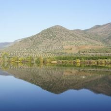
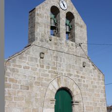
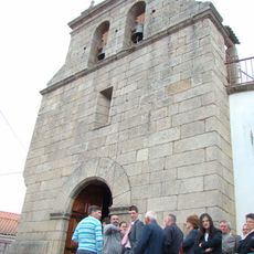
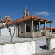
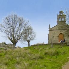
La Ribera is an agricultural region in Comarca de los Vitis, made up of scattered farming settlements with Aldeadávila de la Ribera as the main administrative hub. The landscape consists of cultivated fields and rural villages distributed across gentle terrain, connected by small roads that wind through the countryside.
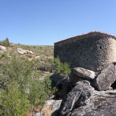
The region grew over centuries as farming families established themselves and passed down their knowledge of the land to their descendants. The agricultural practices developed over this long period continue to shape how the landscape looks and how communities function today.
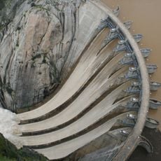
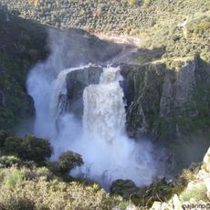
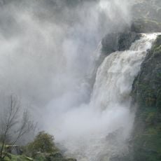
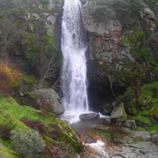
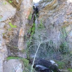
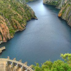
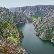
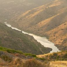
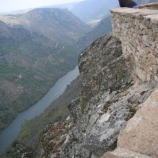
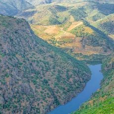
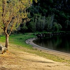
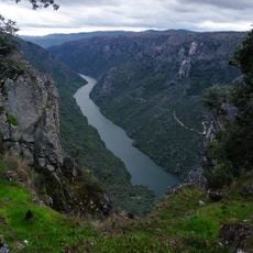
The place takes its name from its position near the river, reflecting how water has always shaped life and work here. Local celebrations mark harvests and bring people together to honor the rhythms of farming that still define daily life.
The area is best explored during growing seasons when you can see farming activities in progress and understand how people work the land. Start your visit in Aldeadávila de la Ribera to get oriented and gather information about the wider area before exploring the scattered settlements.
The region sits at a location where specific environmental conditions create favorable growing circumstances for particular crops that flourish here more readily than elsewhere. These natural advantages have shaped centuries of farming choices and continue to influence what farmers plant and harvest today.
The community of curious travelers
AroundUs brings together thousands of curated places, local tips, and hidden gems, enriched daily by 60,000 contributors worldwide.