Zamora

Log in to your account

AroundUs is a community-driven map of interesting places, built by curious explorers like you. It grows with every review, story, and photo you share.
Connect to save your favorite spots, contribute locations, and create personalized routes.
By continuing, you accept our Terms and Conditions and our Privacy Policy
Add to collection
Map
Suggest a change
Share

Zamora, Medieval municipality in western Castile and León, Spain

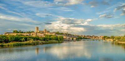
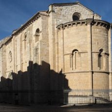
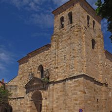
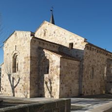
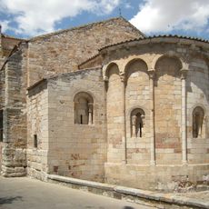
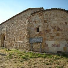
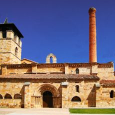
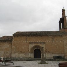
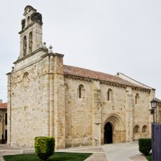
Zamora is a municipality in western Castile and León province, stretching along the Duero River at 649 meters elevation. Within the town's territory there are 24 Romanesque churches from the 12th and 13th centuries, distributed across the entire municipal area.

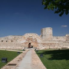
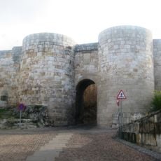
Romans founded a settlement here called Occelum Durii, which later became a strategic point between the Kingdom of León and Muslim territories. During medieval times Christian rulers fortified the town and built numerous church structures in the Romanesque style.

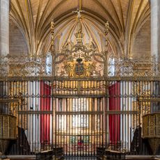
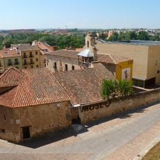
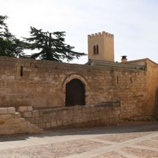
The cathedral takes its name from the Holy Saviour and stands as the most compact Romanesque sacred building in the region with a dome made of scaly stone tiles. Through narrow lanes in the old town core visitors reach small churches and chapels that locals use for devotions and processions.

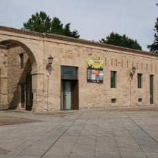
The municipal tourist information office near the historic core provides maps and orientation aids for exploring religious buildings and medieval structures. Visitors should wear comfortable shoes, as many streets are cobbled and feature slopes.

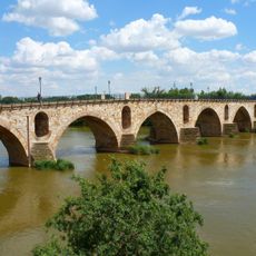
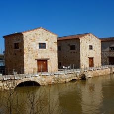
A stone bridge with sixteen arches spans the Duero and connects the old town with newer neighborhoods on the opposite riverbank. Along the bridge fishermen often sit and watch the river while waterbirds occasionally drift on the water.

Location: Zamora Province

Capital city: Zamora city

Elevation above the sea: 649 m

Shares border with: Valcabado, Monfarracinos, Coreses, Villaralbo, Arcenillas, Morales del Vino, Entrala, El Perdigón, Pereruela, Almaraz de Duero, Muelas del Pan, San Pedro de la Nave-Almendra, Palacios del Pan, Andavías, La Hiniesta, Roales

Website: https://zamora.es

GPS coordinates: 41.50333,-5.75556

Latest update: December 15, 2025 08:02

Photos
Reviews

Visited this place? Tap the stars to rate it and share your experience / photos with the community! Try now! You can cancel it anytime.

« Zamora - Medieval municipality in western Castile and León, Spain » is provided by Around Us (aroundus.com). Images and texts are derived from Wikimedia project under a Creative Commons license. You are allowed to copy, distribute, and modify copies of this page, under the conditions set by the license, as long as this note is clearly visible.

Discover hidden gems everywhere you go!

From secret cafés to breathtaking viewpoints, skip the crowded tourist spots and find places that match your style. Our app makes it easy with voice search, smart filtering, route optimization, and insider tips from travelers worldwide. Download now for the complete mobile experience.

Around Us App Screenshot

A unique approach to discovering new places

Le Figaro

All the places worth exploring

France Info

A tailor-made excursion in just a few clicks

20 Minutes