Aracena

Log in to your account

AroundUs is a community-driven map of interesting places, built by curious explorers like you. It grows with every review, story, and photo you share.
Connect to save your favorite spots, contribute locations, and create personalized routes.
By continuing, you accept our Terms and Conditions and our Privacy Policy
Add to collection
Map
Suggest a change
Share

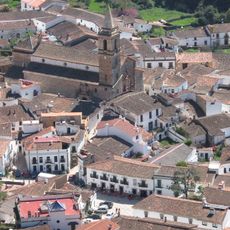
Aracena, Mountain municipality in Sierra de Aracena, Spain.

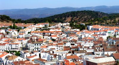
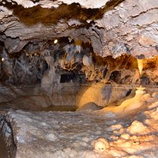
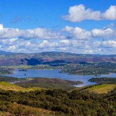
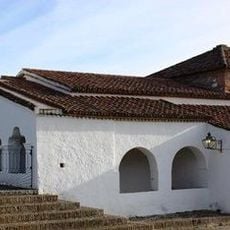
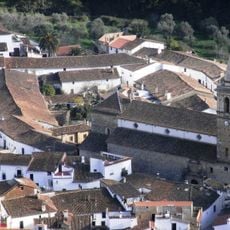
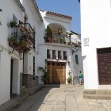
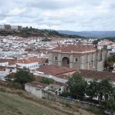
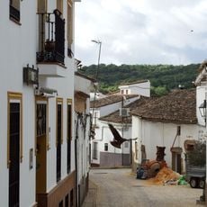
Aracena is a mountain town in the Sierra de Aracena in the Province of Huelva, nestled at around 700 meters elevation. The settlement sits within oak and chestnut forests and contains the Gruta de las Maravillas, a limestone cave system with chambers and pools.

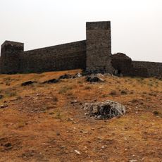
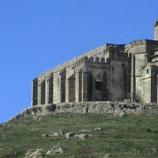
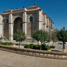
The town grew from prehistoric settlements and passed through Roman and Islamic periods before being conquered by Sancho II in 1231. This conquest turned it into a strategic stronghold for Christian rule in the region.

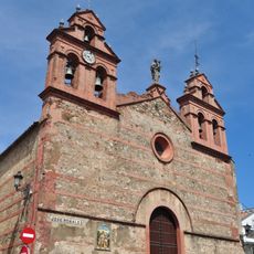
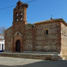
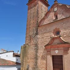
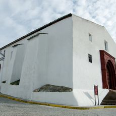
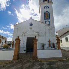
The Priory Church of Nuestra Señora del Mayor Dolor shows how two different cultures shaped the town through its preserved minaret from earlier times. When you walk through this church, you can see and feel how Christian and Islamic architecture blend together in one building.

To reach the Gruta de las Maravillas, you head through the town center where visitor information is available. Trails wind through the surrounding forests, and small local shops sell regional ham, cheese, and other traditional food products made nearby.

Inside the Gruta de las Maravillas lies an underground lake that glows green on certain days depending on how light hits the water. This color shift happens because of minerals in the water and deposits on the cave walls.

Location: Province of Huelva

Capital city: Aracena

Elevation above the sea: 714 m

Part of: notarsko okrožje Aracena, Mancomunidad de Servicios de la Provincia de Huelva, Mancomunitat «Ribera del Huelva», Mancomunidad Turística de la Sierra de Huelva, Sierra de Huelva

Shares border with: Alájar, Linares de la Sierra, Los Marines, Cortelazor, Hinojales, Corteconcepción, Puerto Moral, Zufre, Higuera de la Sierra, La Granada de Río-Tinto, Campofrío, El Campillo, Almonaster la Real

Website: http://aracena.es

GPS coordinates: 37.89111,-6.56111

Latest update: December 6, 2025 22:03

Reviews

Visited this place? Tap the stars to rate it and share your experience / photos with the community! Try now! You can cancel it anytime.

« Aracena - Mountain municipality in Sierra de Aracena, Spain » is provided by Around Us (aroundus.com). Images and texts are derived from Wikimedia project under a Creative Commons license. You are allowed to copy, distribute, and modify copies of this page, under the conditions set by the license, as long as this note is clearly visible.

Discover hidden gems everywhere you go!

From secret cafés to breathtaking viewpoints, skip the crowded tourist spots and find places that match your style. Our app makes it easy with voice search, smart filtering, route optimization, and insider tips from travelers worldwide. Download now for the complete mobile experience.

Around Us App Screenshot

A unique approach to discovering new places

Le Figaro

All the places worth exploring

France Info

A tailor-made excursion in just a few clicks

20 Minutes