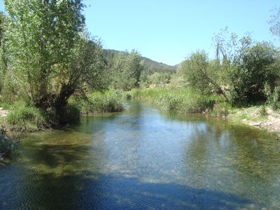
Mijares River, River system in Aragon and Valencian Community, Spain.
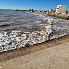
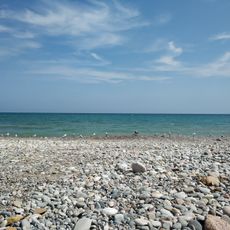
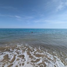
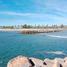
The Mijares is a river system that flows approximately 156 kilometers from the Sierra de Gúdar mountains to the Mediterranean Sea, ending between the coastal towns of Almassora and Burriana. Its basin covers around 4,000 square kilometers and feeds irrigation networks that support farming across the region.
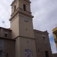
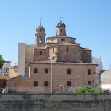
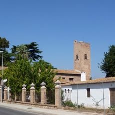
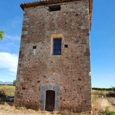
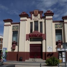
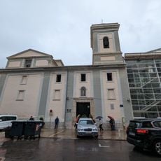
This river system has supplied essential water to rural communities in the Plana Baixa region for centuries, enabling irrigation-based agriculture to flourish. The dependence of local farming on this water source shaped its importance as a central resource for the development of settlements along its course.
The waterway is known by different names across the regions it passes through: Spanish speakers call it Río Mijares while Catalan speakers refer to it as Millars. These varying names reflect the cultural diversity of the communities living along its course.
The river offers various activities for visitors, particularly around Montanejos where water sports like rafting can be enjoyed. The best time to explore is during spring or autumn when water levels are suitable and temperatures remain pleasant.
The river marks the southern boundary of a significant mountain system and attracts whitewater sports enthusiasts. The rapids around Montanejos are among the most sought-after rafting spots in eastern Spain.
The community of curious travelers
AroundUs brings together thousands of curated places, local tips, and hidden gems, enriched daily by 60,000 contributors worldwide.