Geography of Spain, Natural regions and landscapes in Spain.
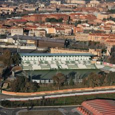
The geography of Spain covers central plateaus, multiple mountain ranges, two coastal regions along the Mediterranean Sea and Atlantic Ocean, plus the Balearic and Canary Islands. The country occupies most of the Iberian Peninsula and shows marked elevation differences between inland plateaus and coastal zones.
Mountain chains formed millions of years ago when tectonic plates collided, lifting the ground and shaping valleys. Later erosion and river activity carved the plains and coastlines seen today.
The diverse geographical features of Spain influenced the development of regional agricultural practices, from northern cattle farming to Mediterranean fruit cultivation.
Visitors planning to experience the full range should consider several regions, as climate and terrain vary greatly from north to south. Coastal areas are accessible in summer, while mountain regions can bring snow and cooler temperatures in winter.
The Guadalquivir River valley contains a mix of desert areas extending from North Africa and snow-covered peaks in the Sierra Nevada mountains.
The community of curious travelers
AroundUs brings together thousands of curated places, local tips, and hidden gems, enriched daily by 60,000 contributors worldwide.