Puerto del Rosario

Log in to your account

AroundUs is a community-driven map of interesting places, built by curious explorers like you. It grows with every review, story, and photo you share.
Connect to save your favorite spots, contribute locations, and create personalized routes.
Continue with Google
Continue with Apple
Continue with X
Continue with Facebook
Continue with email
By continuing, you accept our Terms and Conditions and our Privacy Policy
Create an account
Add to collection
Map
Suggest a change
Share

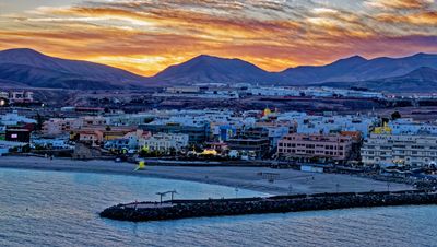
Puerto del Rosario, Administrative center in Fuerteventura, Canary Islands, Spain.

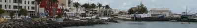
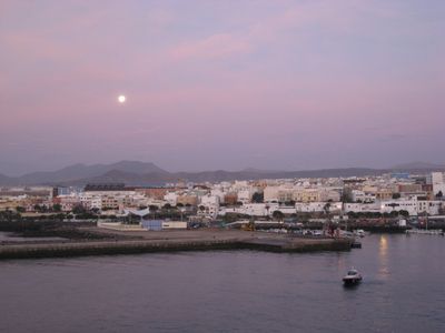
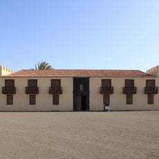
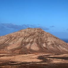
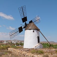
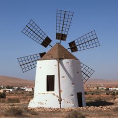
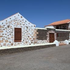
Puerto del Rosario is the administrative center of Fuerteventura in the Canary Islands, situated along the eastern shore. The municipality combines residential neighborhoods, commercial areas, and port installations that define daily life in the region.

The town was originally called Puerto de Cabras before being renamed in 1957 as its importance grew. It became the capital of the island in 1860, taking this role from the older settlement of Antigua.

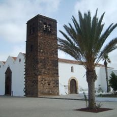
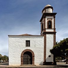
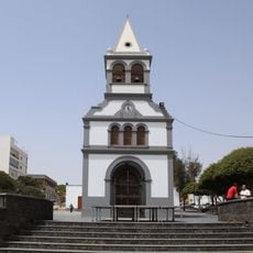
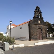
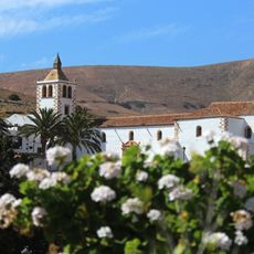
The church of Santo Domingo de Guzmán with its distinctive bell tower serves as a focal point where locals and visitors naturally gather. The town regularly hosts art exhibitions and poetry readings that reflect the community's connection to creative expression.

An international airport is located about 6 kilometers (4 miles) to the south, connecting the town to other islands and the mainland. Regular ferry services to the other Canary Islands make arriving and departing straightforward.

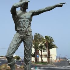
The population surged after 1976 when the Spanish Foreign Legion established their base here, reshaping the town's character. This military presence continues to influence local life and the community's economic rhythm today.

Location: Las Palmas

Capital city: Puerto del Rosario

Elevation above the sea: 16 m

Shares border with: La Oliva, Antigua, Betancuria

Address: Puerto del Rosario, Las Palmas, Spain

Website: http://puertodelrosario.org

GPS coordinates: 28.50000,-13.86667

Latest update: December 20, 2025 15:36

Photos
Visit Fuerteventura: natural parks, wild beaches and historical sites

Fuerteventura, the second largest island in the Canary Islands, is characterized by its diverse landscapes and notable geological features. The island houses spectacular formations such as the white dunes of Corralejo Natural Park, extending over more than 10 kilometers, the 70-million-year-old Ajuy...

Reviews

Visited this place? Tap the stars to rate it and share your experience / photos with the community! Try now! You can cancel it anytime.

« Puerto del Rosario - Administrative center in Fuerteventura, Canary Islands, Spain » is provided by Around Us (aroundus.com). Images and texts are derived from Wikimedia project under a Creative Commons license. You are allowed to copy, distribute, and modify copies of this page, under the conditions set by the license, as long as this note is clearly visible.

Discover hidden gems everywhere you go!

From secret cafés to breathtaking viewpoints, skip the crowded tourist spots and find places that match your style. Our app makes it easy with voice search, smart filtering, route optimization, and insider tips from travelers worldwide. Download now for the complete mobile experience.

Around Us App Screenshot

A unique approach to discovering new places

Le Figaro

All the places worth exploring

France Info

A tailor-made excursion in just a few clicks

20 Minutes