Álora, municipality of Spain
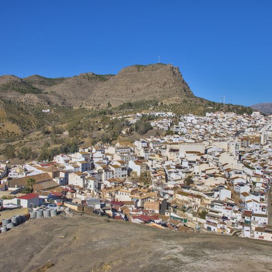
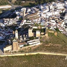
Álora is a municipality in Málaga Province in southern Andalusia. The town sits on a hillside with white-washed buildings arranged around the church and former fortress, surrounded by olive groves and orchards that form the basis of local agriculture.
Álora was founded by the Moors and served as a fortified settlement during the Islamic period in Al-Andalus. Following the Reconquista, it became part of Christian territories and gradually developed into a farming community that thrived through agricultural production.
The town is easily accessible by car from the highway and sits conveniently between coastal areas and mountain regions. Streets are steep and narrow, so comfortable walking shoes are recommended when exploring the village.
The town is known for producing high-quality olive oils and traditional sweets that have been made locally for generations. These artisanal products remain central to local identity and can be purchased directly from small shops throughout the village.
The community of curious travelers
AroundUs brings together thousands of curated places, local tips, and hidden gems, enriched daily by 60,000 contributors worldwide.
